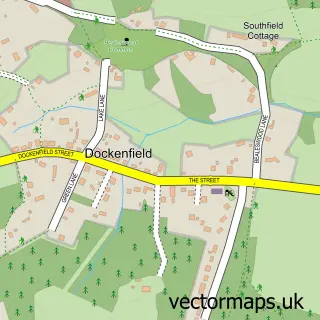
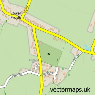
This Holt Pound street map is a detailed vector street map covering a 750m x 750m area. Select a larger area to create and download your own vector street map of Holt Pound.
The 750-metre map sample for Holt Pound covers 133 mapped buildings and approximately 5.8 km of road detail, of which 3 named roads are named. The immediate area includes 1 GP surgery within 2 miles, 2 pubs and 1 MOT station, with 4 within 2 miles. The wider area around Holt Pound features 1 tourism point of interest and 2 food and drink venues. To create a larger or custom map of Holt Pound, the map builder lets you define your own coverage area and download editable SVG, PDF and PNG files.
Create a larger editable map of Holt Pound
Choose any area you need and generate a high-quality vector map instantly. Perfect for print, planning, design, business and personal use.

This Holt Pound street map in Hampshire is available as downloadable SVG, PDF and PNG map files, or as a printed map for planning, business, display, education, local information and design work. You can also create a larger custom map area using the map selector.
What this Holt Pound map sample shows
Holt Pound lies within Farnham Cp parish, part of Farnham Wrecclesham And Rowledge ward in the Waverley District (B) local authority area. The postcode geography for this area includes the GU postcode area, the GU10 postcode district and the GU10 4 postcode sector. Residents fall under the Nhs Frimley Integrated Care Board for NHS services.
Local features near Holt Pound
Within 2 milesAmenities and services in and around Holt Pound.
Administrative and postcode information for Holt Pound
The local authority covering Holt Pound is Waverley District (B), within the county of Hampshire. The settlement lies within Farnham Wrecclesham And Rowledge ward and Farnham Cp civil parish. The GU10 postcode district and GU10 4 postcode sector serve the immediate area. NHS provision in the area is delivered through Frimley Health Nhs Foundation Trust.
Nearby street map samples around Holt Pound
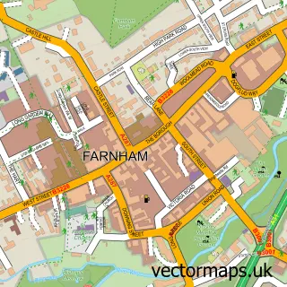

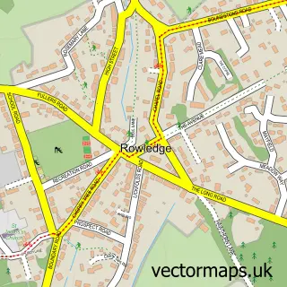
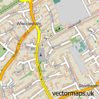
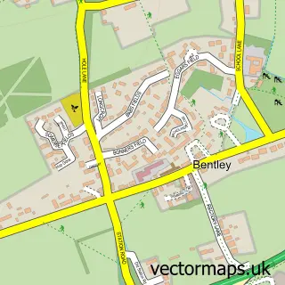
More street maps in Hampshire
750 metre map area coverage
Boundary, postcode and point of interest information for the 750m x 750m rectangle centred on this sample map.
Boundaries containing map centre
Constituency: East Hampshire Co Const
County: Hampshire County
District: East Hampshire District
Icb: NHS Hampshire and Isle of Wight ICB
Parish: Binsted CP
Police Force: hampshire
Postcode District: GU10
Postcode Sector: GU10 4
Ward: Binsted, Bentley & Selborne Ward
Nearby boundaries intersecting sample
Constituency: Farnham and Bordon Co Const
County: Surrey County
District: Waverley District (B)
Icb: NHS Frimley ICB
Parish: Farnham CP
Police Force: surrey
Ward: Farnham Rowledge Ward
Postcode coverage
POI category counts
Gastropub: 2
Pub: 2
Advertising Agency: 1
Automotive: 1
Automotive Repair: 1
Business Management Services: 1
Cooking School: 1
Horse Riding: 1
Kids Recreation And Party: 1
Landmark And Historical Building: 1
Sample points of interest
- Kudosfx
- RMH Cars
- New Moon
- Kudos F X Ltd.
- Paya Thai Cooking
- Forest Inn
- The Forest Inn
- The Kiln Equestrian Centre
- Kiln Stables Riding School And Livery
- Holt Pound
- Ball & Wicket
- Forest Inn
Create a larger editable map of Holt Pound
This sample shows only a 750 metre area. To create a larger map of Holt Pound, use our map builder to choose your own coverage area, add titles and download editable SVG, PDF and PNG files.
Create a custom map of Holt Pound