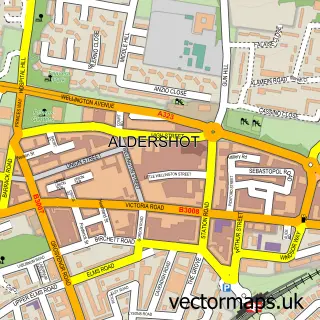
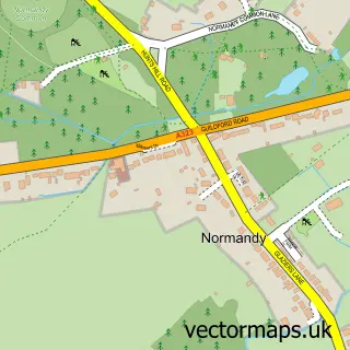
This Ash street map is a detailed vector street map covering a 750m x 750m area. Select a larger area to create and download your own vector street map of Ash.
The 750-metre map sample for Ash covers 537 mapped buildings and approximately 18.0 km of road detail, of which 39 named roads are named. The immediate area includes 1 school, 4 GP surgeries within 2 miles and 1 MOT station, with 20 within 2 miles. The wider area around Ash features 1 tourism point of interest. To create a larger or custom map of Ash, the map builder lets you define your own coverage area and download editable SVG, PDF and PNG files.
Create a larger editable map of Ash
Choose any area you need and generate a high-quality vector map instantly. Perfect for print, planning, design, business and personal use.

This Ash street map in Surrey is available as downloadable SVG, PDF and PNG map files, or as a printed map for planning, business, display, education, local information and design work. You can also create a larger custom map area using the map selector.
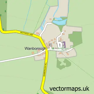
What this Ash map sample shows
Ash lies within Ash Cp parish, part of Ash South And Tongham ward in the Guildford District (B) local authority area. The postcode geography for this area includes the GU postcode area, the GU10 postcode district and the GU10 1 postcode sector. Residents fall under the Nhs Frimley Integrated Care Board for NHS services.
Local features near Ash
Within 2 milesAmenities and services in and around Ash.
Administrative and postcode information for Ash
Ash lies within Ash Cp parish, part of Ash South And Tongham ward in the Guildford District (B) local authority area. The postcode geography for this area includes the GU postcode area, the GU10 postcode district and the GU10 1 postcode sector. Residents fall under the Nhs Frimley Integrated Care Board for NHS services.
Nearby street map samples around Ash

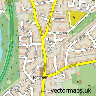
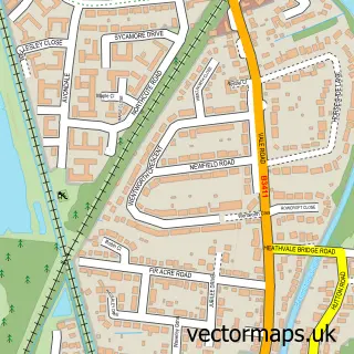
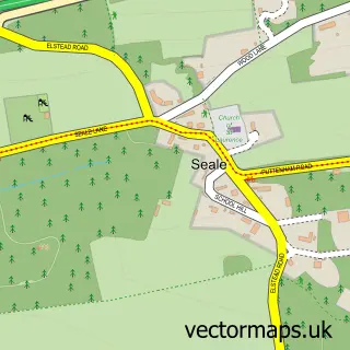
More street maps in Surrey
750 metre map area coverage
Boundary, postcode and point of interest information for the 750m x 750m rectangle centred on this sample map.
Boundaries containing map centre
Constituency: Godalming and Ash Co Const
County: Surrey County
District: Guildford District (B)
Icb: NHS Frimley ICB
Parish: Ash CP
Police Force: surrey
Postcode District: GU12
Postcode Sector: GU12 6
Ward: Ash Wharf Ward
Nearby boundaries intersecting sample
Ward: Ash South Ward
Postcode coverage
POI category counts
Automotive Repair: 4
Advertising Agency: 2
Building Supply Store: 2
Home Service: 2
Preschool: 2
Professional Services: 2
Storage Facility: 2
Atms: 1
Auto Electrical Repair: 1
Bathroom Remodeling: 1
Sample points of interest
- Insight 60
- Johnson Fellowes
- The Cooperative Food (BF) Ash - Aldershot, Ash
- A & A Services
- Ae Coachworks
- Complete Mechanics
- D a Autos
- Kendal Car Recovery
- MB Property Developments
- D N H Carpets
- Haslett's Homes
- insight60 Multimedia
Create a larger editable map of Ash
This sample shows only a 750 metre area. To create a larger map of Ash, use our map builder to choose your own coverage area, add titles and download editable SVG, PDF and PNG files.
Create a custom map of Ash