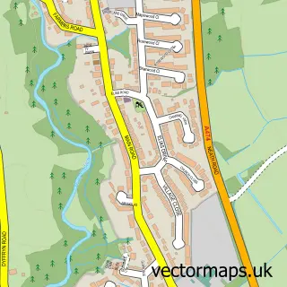
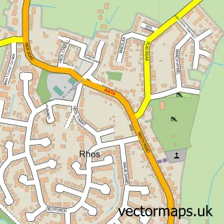
This Cilfrew street map is a detailed vector street map covering a 750m x 750m area. Select a larger area to create and download your own vector street map of Cilfrew.
The 750-metre map sample for Cilfrew covers 211 mapped buildings and approximately 9.6 km of road detail, of which 19 named roads are named. The immediate area includes 1 school, 1 GP surgery within 2 miles and 5 MOT stations within 2 miles. The wider area around Cilfrew features 2 tourism points of interest and 1 food and drink venue. To create a larger or custom map of Cilfrew, the map builder lets you define your own coverage area and download editable SVG, PDF and PNG files.
Create a larger editable map of Cilfrew
Choose any area you need and generate a high-quality vector map instantly. Perfect for print, planning, design, business and personal use.

This Cilfrew street map in West Glamorgan is available as downloadable SVG, PDF and PNG map files, or as a printed map for planning, business, display, education, local information and design work. You can also create a larger custom map area using the map selector.
What this Cilfrew map sample shows
Cilfrew lies within Blaenhonddan Community parish, part of Aberdulais ward in the Castell-Nedd Port Talbot - Neath Port Talbot local authority area. The postcode geography for this area includes the SA postcode area, the SA10 postcode district and the SA10 8 postcode sector. Residents fall under the Swansea Bay University Local Health Board for NHS services.
Local features near Cilfrew
Within 2 milesAmenities and services in and around Cilfrew.
Administrative and postcode information for Cilfrew
The local authority covering Cilfrew is Castell-Nedd Port Talbot - Neath Port Talbot, within the county of West Glamorgan. The settlement lies within Aberdulais ward and Blaenhonddan Community civil parish. The SA10 postcode district and SA10 8 postcode sector serve the immediate area. NHS provision in the area is delivered through Swansea Bay University Health Board.
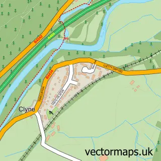
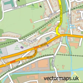
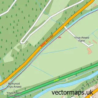
Nearby street map samples around Cilfrew
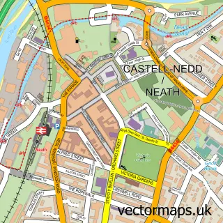

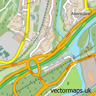
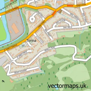
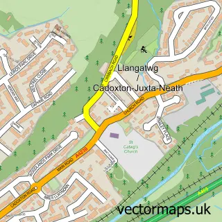
More street maps in West Glamorgan
750 metre map area coverage
Boundary, postcode and point of interest information for the 750m x 750m rectangle centred on this sample map.
Boundaries containing map centre
Constituency: Neath and Swansea East Co Const
District: Castell-nedd Port Talbot - Neath Port Talbot
Icb: Abertawe Bro Morgannwg University
Parish: Blaenhonddan Community
Police Force: south wales
Postcode District: SA10
Postcode Sector: SA10 8
Nearby boundaries intersecting sample
No additional intersecting boundaries found.
Postcode coverage
POI category counts
Bakery: 2
Park: 2
Arts And Crafts: 1
Auto Customization: 1
Building Supply Store: 1
Coffee Shop: 1
Community Center: 1
Elementary School: 1
Financial Service: 1
Flowers And Gifts Shop: 1
Sample points of interest
- Our Crafty Cwtch
- Silver Lady Car Interiors
- Cymru Cakes
- Cymru Cakes
- W.G. Beynon & Sons (Peter)
- Ty Coffi Cilfrew
- Cilfrew Community Centre
- Cilffriw Primary School
- Credence Mortgages
- Our Crafty Cwtch
- Beynons Plumbing, Heating And Gas Services
- Cilfrew
Create a larger editable map of Cilfrew
This sample shows only a 750 metre area. To create a larger map of Cilfrew, use our map builder to choose your own coverage area, add titles and download editable SVG, PDF and PNG files.
Create a custom map of Cilfrew