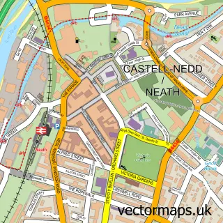
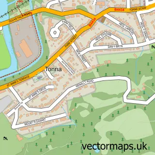
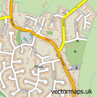
This Cadoxton-juxta-Neath street map is a detailed vector street map covering a 750m x 750m area. Select a larger area to create and download your own vector street map of Cadoxton-juxta-Neath.
The 750-metre map sample for Cadoxton-juxta-Neath covers 348 mapped buildings and approximately 15.5 km of road detail, of which 22 named roads are named. The immediate area includes 1 school, 1 GP surgery within 2 miles, 3 pubs and 11 MOT stations within 2 miles. The wider area around Cadoxton-juxta-Neath features 1 tourism point of interest and 3 food and drink venues. To create a larger or custom map of Cadoxton-juxta-Neath, the map builder lets you define your own coverage area and download editable SVG, PDF and PNG files.
Create a larger editable map of Cadoxton-juxta-Neath
Choose any area you need and generate a high-quality vector map instantly. Perfect for print, planning, design, business and personal use.

This Cadoxton-juxta-Neath street map in West Glamorgan is available as downloadable SVG, PDF and PNG map files, or as a printed map for planning, business, display, education, local information and design work. You can also create a larger custom map area using the map selector.
What this Cadoxton-juxta-Neath map sample shows
Cadoxton-juxta-Neath lies within Blaenhonddan Community parish, part of Bryn-Coch South ward in the Castell-Nedd Port Talbot - Neath Port Talbot local authority area. The postcode geography for this area includes the SA postcode area, the SA10 postcode district and the SA10 8 postcode sector. Residents fall under the Swansea Bay University Local Health Board for NHS services.
Local features near Cadoxton-juxta-Neath
Within 2 milesAmenities and services in and around Cadoxton-juxta-Neath.
Administrative and postcode information for Cadoxton-juxta-Neath
The local authority covering Cadoxton-juxta-Neath is Castell-Nedd Port Talbot - Neath Port Talbot, within the county of West Glamorgan. The settlement lies within Bryn-Coch South ward and Blaenhonddan Community civil parish. The SA10 postcode district and SA10 8 postcode sector serve the immediate area. NHS provision in the area is delivered through Swansea Bay University Health Board.
Nearby street map samples around Cadoxton-juxta-Neath

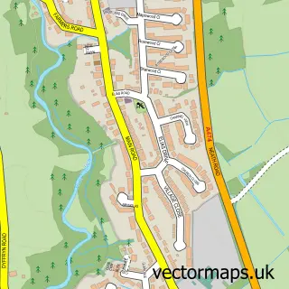
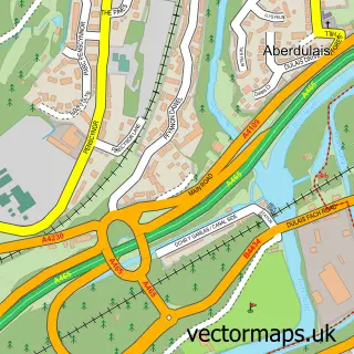
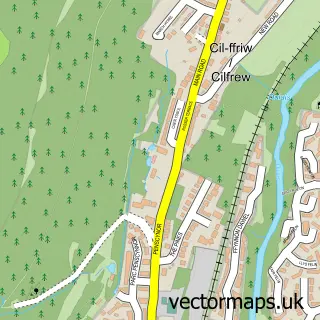
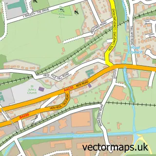
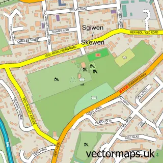
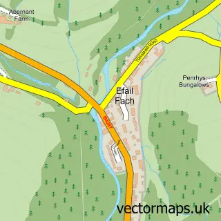
More street maps in West Glamorgan
750 metre map area coverage
Boundary, postcode and point of interest information for the 750m x 750m rectangle centred on this sample map.
Boundaries containing map centre
Constituency: Neath and Swansea East Co Const
District: Castell-nedd Port Talbot - Neath Port Talbot
Icb: Abertawe Bro Morgannwg University
Parish: Blaenhonddan Community
Police Force: south wales
Postcode District: SA10
Postcode Sector: SA10 8
Nearby boundaries intersecting sample
Postcode Sector: SA10 7
Postcode coverage
POI category counts
Pub: 3
Accountant: 1
Atms: 1
Canal: 1
Carpenter: 1
Church Cathedral: 1
Convenience Store: 1
Cremation Services: 1
Driving School: 1
Electrician: 1
Sample points of interest
- Daniel Perrin & Co
- PayPoint
- Tennant Canal
- Brooks Carpentry Services
- St Catwg's Church
- Cadoxton Stores
- Les Davies And Son Funeral Directors
- Bee a Driver
- Laker Electrical Services
- Catwg Primary School
- Neath Funeral Home
- Cadoxton Park
Create a larger editable map of Cadoxton-juxta-Neath
This sample shows only a 750 metre area. To create a larger map of Cadoxton-juxta-Neath, use our map builder to choose your own coverage area, add titles and download editable SVG, PDF and PNG files.
Create a custom map of Cadoxton-juxta-Neath