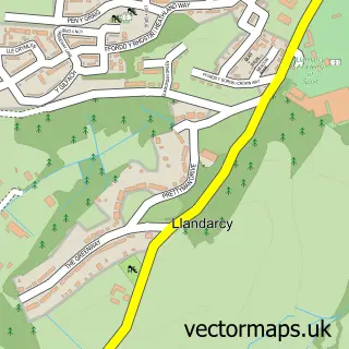
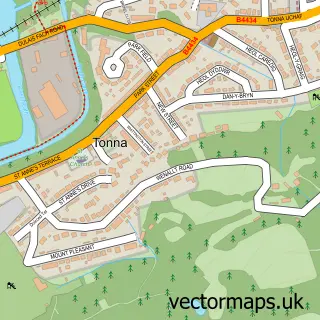
This Neath Abbey street map is a detailed vector street map covering a 750m x 750m area. Select a larger area to create and download your own vector street map of Neath Abbey.
The 750-metre map sample for Neath Abbey covers 265 mapped buildings and approximately 14.0 km of road detail, of which 19 named roads are named. The immediate area includes 1 GP surgery within 2 miles, 1 pub and 3 MOT stations, with 18 within 2 miles. The wider area around Neath Abbey features 6 tourism points of interest and 2 food and drink venues. To create a larger or custom map of Neath Abbey, the map builder lets you define your own coverage area and download editable SVG, PDF and PNG files.
Create a larger editable map of Neath Abbey
Choose any area you need and generate a high-quality vector map instantly. Perfect for print, planning, design, business and personal use.

This Neath Abbey street map in West Glamorgan is available as downloadable SVG, PDF and PNG map files, or as a printed map for planning, business, display, education, local information and design work. You can also create a larger custom map area using the map selector.
What this Neath Abbey map sample shows
Neath Abbey lies within Dyffryn Clydach Community parish, part of Dyffryn ward in the Castell-Nedd Port Talbot - Neath Port Talbot local authority area. The postcode geography for this area includes the SA postcode area, the SA10 postcode district and the SA10 7 postcode sector. Residents fall under the Swansea Bay University Local Health Board for NHS services.
Local features near Neath Abbey
Within 2 milesAmenities and services in and around Neath Abbey.
Administrative and postcode information for Neath Abbey
Neath Abbey lies within Dyffryn Clydach Community parish, part of Dyffryn ward in the Castell-Nedd Port Talbot - Neath Port Talbot local authority area. The postcode geography for this area includes the SA postcode area, the SA10 postcode district and the SA10 7 postcode sector. Residents fall under the Swansea Bay University Local Health Board for NHS services.
Nearby street map samples around Neath Abbey
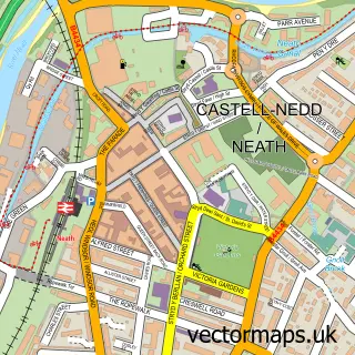

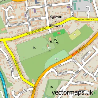
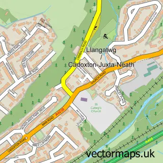
More street maps in West Glamorgan
750 metre map area coverage
Boundary, postcode and point of interest information for the 750m x 750m rectangle centred on this sample map.
Boundaries containing map centre
Constituency: Neath and Swansea East Co Const
District: Castell-nedd Port Talbot - Neath Port Talbot
Icb: Abertawe Bro Morgannwg University
Parish: Dyffryn Clydach Community
Police Force: south wales
Postcode District: SA10
Postcode Sector: SA10 7
Nearby boundaries intersecting sample
Parish: Coedffranc Community
Postcode Sector: SA10 6
Postcode coverage
POI category counts
Automotive Repair: 5
Landmark And Historical Building: 3
Auto Body Shop: 2
Campground: 2
Car Dealer: 2
Elementary School: 2
Fish And Chips Restaurant: 2
Active Life: 1
Auto Parts And Supply Store: 1
Automotive Services And Repair: 1
Sample points of interest
- Ty Canol Farm Camping and Caravaning, Neath
- JRBodyworx
- Neath Abbey Motor Body Repairs
- GSF Car Parts (Neath)
- Abbey Salvage Ltd
- Abbey Services
- GMF Motor Factors
- HiQ At Day's
- Monastery Motors
- TTC The Tuning company
- Greggs
- Bar Hewitts
Create a larger editable map of Neath Abbey
This sample shows only a 750 metre area. To create a larger map of Neath Abbey, use our map builder to choose your own coverage area, add titles and download editable SVG, PDF and PNG files.
Create a custom map of Neath Abbey