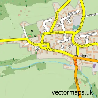
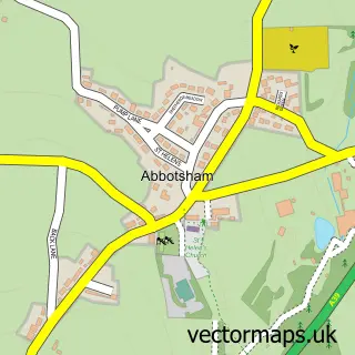
This Clovelly street map is a detailed vector street map covering a 750m x 750m area. Select a larger area to create and download your own vector street map of Clovelly.
The 750-metre map sample for Clovelly covers 33 mapped buildings and approximately 7.3 km of road detail, of which 2 named roads are named. The wider area around Clovelly features 2 tourism points of interest, 3 hotels and 1 campsite within 2 miles. To create a larger or custom map of Clovelly, the map builder lets you define your own coverage area and download editable SVG, PDF and PNG files.
Create a larger editable map of Clovelly
Choose any area you need and generate a high-quality vector map instantly. Perfect for print, planning, design, business and personal use.

This Clovelly street map in Devon is available as downloadable SVG, PDF and PNG map files, or as a printed map for planning, business, display, education, local information and design work. You can also create a larger custom map area using the map selector.
What this Clovelly map sample shows
Clovelly lies within Clovelly Cp parish, part of Hartland ward in the Torridge District local authority area. The postcode geography for this area includes the EX postcode area, the EX39 postcode district and the EX39 5 postcode sector. Residents fall under the Nhs Devon Integrated Care Board for NHS services.
Local features near Clovelly
Within 2 milesAmenities and services in and around Clovelly.
Administrative and postcode information for Clovelly
The local authority covering Clovelly is Torridge District, within the county of Devon. The settlement lies within Hartland ward and Clovelly Cp civil parish. The EX39 postcode district and EX39 5 postcode sector serve the immediate area. NHS provision in the area is delivered through Northern Devon Nhs Trust.
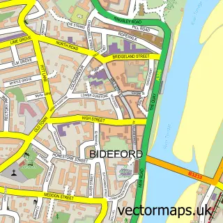
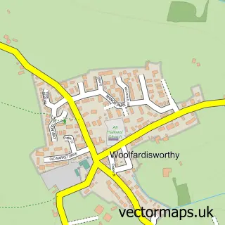
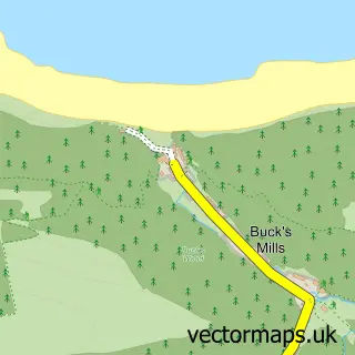
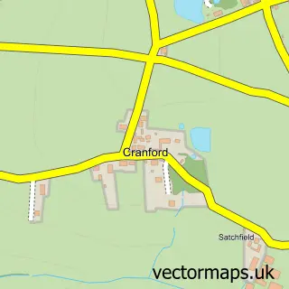
Nearby street map samples around Clovelly

More street maps in Devon
750 metre map area coverage
Boundary, postcode and point of interest information for the 750m x 750m rectangle centred on this sample map.
Boundaries containing map centre
Constituency: Torridge and Tavistock Co Const
County: Devon County
District: Torridge District
Icb: NHS Devon ICB
Parish: Clovelly CP
Police Force: devon and cornwall
Postcode District: EX39
Postcode Sector: EX39 5
Ward: Hartland Ward
Nearby boundaries intersecting sample
No additional intersecting boundaries found.
Postcode coverage
POI category counts
Hotel: 3
Antique Store: 2
Art Gallery: 2
Beach: 2
Ambulance And Ems Services: 1
Automotive Storage Facility: 1
B2b Textiles: 1
Beauty And Spa: 1
Beverage Store: 1
Brewery: 1
Sample points of interest
- RNLI Clovelly Lifeboat Station
- Clovelly Collectibles
- Original Artefacts
- The Gallery & Craft Shop
- The Mermaid’s Purse, Clovelly
- Clovelly Harbour
- Clovelly Silk
- Clovelly Beach
- Post Office-Clovelly mobile service
- The Clovelly Soap Company
- Yellow Trumpet
- Clovelly Brewery
Create a larger editable map of Clovelly
This sample shows only a 750 metre area. To create a larger map of Clovelly, use our map builder to choose your own coverage area, add titles and download editable SVG, PDF and PNG files.
Create a custom map of Clovelly