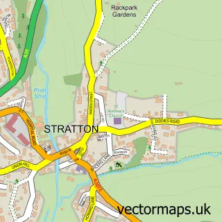
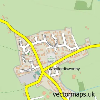
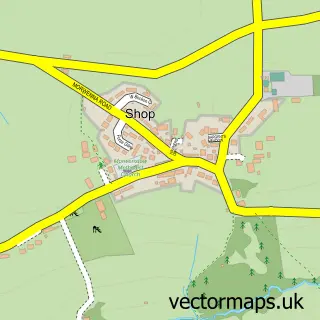
This Hartland street map is a detailed vector street map covering a 750m x 750m area. Select a larger area to create and download your own vector street map of Hartland.
The 750-metre map sample for Hartland covers 220 mapped buildings and approximately 8.8 km of road detail, of which 24 named roads are named. The immediate area includes 1 school, 1 GP surgery and 4 pubs. The wider area around Hartland features 2 tourism points of interest, 5 food and drink venues and 3 hotels. To create a larger or custom map of Hartland, the map builder lets you define your own coverage area and download editable SVG, PDF and PNG files.
Create a larger editable map of Hartland
Choose any area you need and generate a high-quality vector map instantly. Perfect for print, planning, design, business and personal use.

This Hartland street map in Devon is available as downloadable SVG, PDF and PNG map files, or as a printed map for planning, business, display, education, local information and design work. You can also create a larger custom map area using the map selector.
What this Hartland map sample shows
Hartland lies within Hartland Cp parish, part of Hartland ward in the Torridge District local authority area. The postcode geography for this area includes the EX postcode area, the EX39 postcode district and the EX39 6 postcode sector. Residents fall under the Nhs Devon Integrated Care Board for NHS services.
Local features near Hartland
Within 2 milesAmenities and services in and around Hartland.
Administrative and postcode information for Hartland
The local authority covering Hartland is Torridge District, within the county of Devon. The settlement lies within Hartland ward and Hartland Cp civil parish. The EX39 postcode district and EX39 6 postcode sector serve the immediate area. NHS provision in the area is delivered through Northern Devon Nhs Trust.
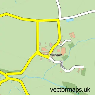
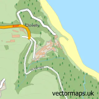
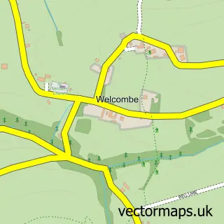
Nearby street map samples around Hartland

More street maps in Devon
750 metre map area coverage
Boundary, postcode and point of interest information for the 750m x 750m rectangle centred on this sample map.
Boundaries containing map centre
Constituency: Torridge and Tavistock Co Const
County: Devon County
District: Torridge District
Icb: NHS Devon ICB
Parish: Hartland CP
Police Force: devon and cornwall
Postcode District: EX39
Postcode Sector: EX39 6
Ward: Hartland Ward
Nearby boundaries intersecting sample
No additional intersecting boundaries found.
Postcode coverage
POI category counts
Pub: 4
Hotel: 3
Art Gallery: 2
Arts And Crafts: 2
Automotive Repair: 2
Beach: 2
Church Cathedral: 2
Community Services Non Profits: 2
Convenience Store: 2
Elementary School: 2
Sample points of interest
- Church Rooms
- Candyland Studios,The Gallery
- The Calf Street Pottery
- Millthorne Chairs
- Springfield Pottery
- White Hare studio
- KRJ Autos
- T&R Valeting And Detailing
- The Forge Brewery
- Berry Beach Hartland
- Blackpool Mill
- Chubby Croft Bunglow
Create a larger editable map of Hartland
This sample shows only a 750 metre area. To create a larger map of Hartland, use our map builder to choose your own coverage area, add titles and download editable SVG, PDF and PNG files.
Create a custom map of Hartland