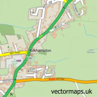
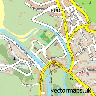
This Stratton street map is a detailed vector street map covering a 750m x 750m area. Select a larger area to create and download your own vector street map of Stratton.
The 750-metre map sample for Stratton covers 250 mapped buildings and approximately 16.4 km of road detail, of which 27 named roads are named. The immediate area includes 1 GP surgery, with 2 within 2 miles, 2 pubs and 5 MOT stations within 2 miles. The wider area around Stratton features 2 food and drink venues and 7 campsites within 2 miles. To create a larger or custom map of Stratton, the map builder lets you define your own coverage area and download editable SVG, PDF and PNG files.
Create a larger editable map of Stratton
Choose any area you need and generate a high-quality vector map instantly. Perfect for print, planning, design, business and personal use.

This Stratton street map in Cornwall is available as downloadable SVG, PDF and PNG map files, or as a printed map for planning, business, display, education, local information and design work. You can also create a larger custom map area using the map selector.
What this Stratton map sample shows
Stratton lies within Bude-Stratton Cp parish, part of Grenville And Stratton ward in the Cornwall local authority area. The postcode geography for this area includes the EX postcode area, the EX23 postcode district and the EX23 9 postcode sector. Residents fall under the Nhs Cornwall And The Isles Of Scilly Integrated Care Board for NHS services.
Local features near Stratton
Within 2 milesAmenities and services in and around Stratton.
Administrative and postcode information for Stratton
Stratton lies within Bude-Stratton Cp parish, part of Grenville And Stratton ward in the Cornwall local authority area. The postcode geography for this area includes the EX postcode area, the EX23 postcode district and the EX23 9 postcode sector. Residents fall under the Nhs Cornwall And The Isles Of Scilly Integrated Care Board for NHS services.
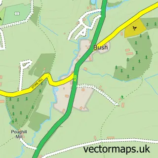
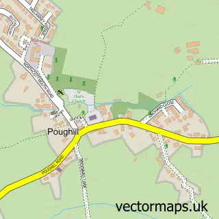
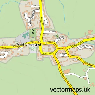
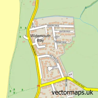
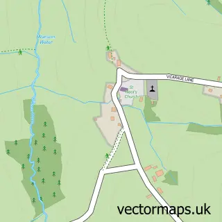
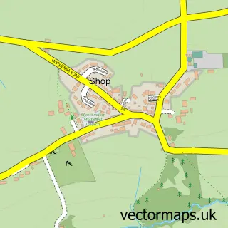
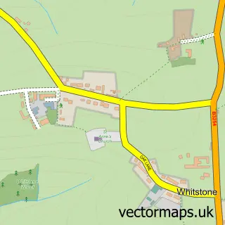
Nearby street map samples around Stratton


More street maps in Cornwall
750 metre map area coverage
Boundary, postcode and point of interest information for the 750m x 750m rectangle centred on this sample map.
Boundaries containing map centre
Constituency: North Cornwall Co Const
District: Cornwall
Icb: NHS Cornwall and the Isles of Scilly ICB
Parish: Bude-Stratton CP
Police Force: devon and cornwall
Postcode District: EX23
Postcode Sector: EX23 9
Nearby boundaries intersecting sample
No additional intersecting boundaries found.
Postcode coverage
POI category counts
Bed And Breakfast: 3
Doctor: 2
Hair Salon: 2
Painting: 2
Pharmacy: 2
Post Office: 2
Pub: 2
Anglican Church: 1
Art Gallery: 1
British Restaurant: 1
Sample points of interest
- St Andrew's Church, Stratton
- Stratside Art Centre
- Oak Lodge
- Oak Lodge Bed and Breakfast Bude
- Stratton Gardens Guest House
- Gardeners Retreat
- GB Property Services & Home Improvements
- After Hours Creative Studio
- Neet Holidays
- St Andrew's Church
- Stratton Stores
- Post Office Travel Money
Create a larger editable map of Stratton
This sample shows only a 750 metre area. To create a larger map of Stratton, use our map builder to choose your own coverage area, add titles and download editable SVG, PDF and PNG files.
Create a custom map of Stratton