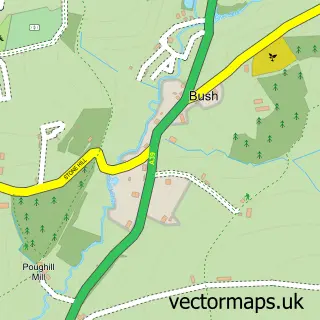
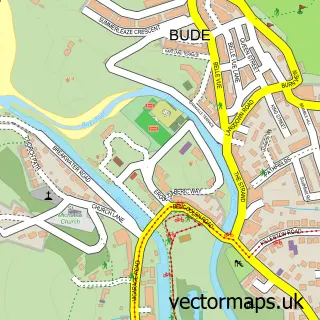
This Poughill street map is a detailed vector street map covering a 750m x 750m area. Select a larger area to create and download your own vector street map of Poughill.
The 750-metre map sample for Poughill covers 168 mapped buildings and approximately 6.9 km of road detail, of which 8 named roads are named. The immediate area includes 2 GP surgeries within 2 miles, 2 pubs and 5 MOT stations within 2 miles. The wider area around Poughill features 1 tourism point of interest, 2 food and drink venues and 2 hotels. To create a larger or custom map of Poughill, the map builder lets you define your own coverage area and download editable SVG, PDF and PNG files.
Create a larger editable map of Poughill
Choose any area you need and generate a high-quality vector map instantly. Perfect for print, planning, design, business and personal use.

This Poughill street map in Cornwall is available as downloadable SVG, PDF and PNG map files, or as a printed map for planning, business, display, education, local information and design work. You can also create a larger custom map area using the map selector.
What this Poughill map sample shows
Poughill lies within Bude-Stratton Cp parish, part of Bude ward in the Cornwall local authority area. The postcode geography for this area includes the EX postcode area, the EX23 postcode district and the EX23 9 postcode sector. Residents fall under the Nhs Cornwall And The Isles Of Scilly Integrated Care Board for NHS services.
Local features near Poughill
Within 2 milesAmenities and services in and around Poughill.
Administrative and postcode information for Poughill
Poughill lies within Bude-Stratton Cp parish, part of Bude ward in the Cornwall local authority area. The postcode geography for this area includes the EX postcode area, the EX23 postcode district and the EX23 9 postcode sector. Residents fall under the Nhs Cornwall And The Isles Of Scilly Integrated Care Board for NHS services.
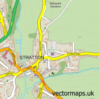
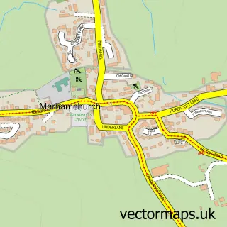
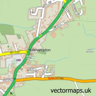
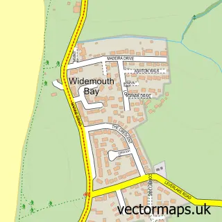
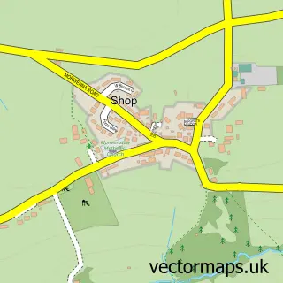
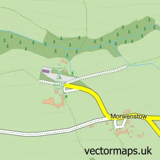
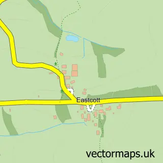
Nearby street map samples around Poughill


More street maps in Cornwall
750 metre map area coverage
Boundary, postcode and point of interest information for the 750m x 750m rectangle centred on this sample map.
Boundaries containing map centre
Constituency: North Cornwall Co Const
District: Cornwall
Icb: NHS Cornwall and the Isles of Scilly ICB
Parish: Bude-Stratton CP
Police Force: devon and cornwall
Postcode District: EX23
Postcode Sector: EX23 9
Nearby boundaries intersecting sample
No additional intersecting boundaries found.
Postcode coverage
POI category counts
Hotel: 2
Pub: 2
Anglican Church: 1
Bed And Breakfast: 1
Church Cathedral: 1
Contractor: 1
Holiday Rental Home: 1
Landmark And Historical Building: 1
Landscaping: 1
Massage Therapy: 1
Sample points of interest
- St Olaf's Church Poughill
- Little Pudners Bed & Breakfast
- St Olaf's Church
- Tony Hartrey Decorators
- Puffins Nest Holiday Home Rental
- Broomhill Manor Country Estate
- Lowenna
- Maer Cliff, Bude - South West Coast Path Walk
- Kernow stonework
- Vicky Barnes Naturally Holistic Therapies
- Preston Gate Inn
- The Preston Gate Inn
Create a larger editable map of Poughill
This sample shows only a 750 metre area. To create a larger map of Poughill, use our map builder to choose your own coverage area, add titles and download editable SVG, PDF and PNG files.
Create a custom map of Poughill