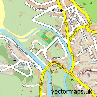
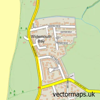
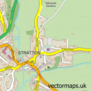
This Flexbury street map is a detailed vector street map covering a 750m x 750m area. Select a larger area to create and download your own vector street map of Flexbury.
The 750-metre map sample for Flexbury covers 380 mapped buildings and approximately 13.0 km of road detail, of which 27 named roads are named. The immediate area includes 2 GP surgeries within 2 miles and 5 MOT stations within 2 miles. The wider area around Flexbury features 9 hotels and 7 campsites within 2 miles. To create a larger or custom map of Flexbury, the map builder lets you define your own coverage area and download editable SVG, PDF and PNG files.
Create a larger editable map of Flexbury
Choose any area you need and generate a high-quality vector map instantly. Perfect for print, planning, design, business and personal use.

This Flexbury street map in Cornwall is available as downloadable SVG, PDF and PNG map files, or as a printed map for planning, business, display, education, local information and design work. You can also create a larger custom map area using the map selector.
What this Flexbury map sample shows
Flexbury lies within Bude-Stratton Cp parish, part of Bude ward in the Cornwall local authority area. The postcode geography for this area includes the EX postcode area, the EX23 postcode district and the EX23 8 postcode sector. Residents fall under the Nhs Cornwall And The Isles Of Scilly Integrated Care Board for NHS services.
Local features near Flexbury
Within 2 milesAmenities and services in and around Flexbury.
Administrative and postcode information for Flexbury
Flexbury lies within Bude-Stratton Cp parish, part of Bude ward in the Cornwall local authority area. The postcode geography for this area includes the EX postcode area, the EX23 postcode district and the EX23 8 postcode sector. Residents fall under the Nhs Cornwall And The Isles Of Scilly Integrated Care Board for NHS services.
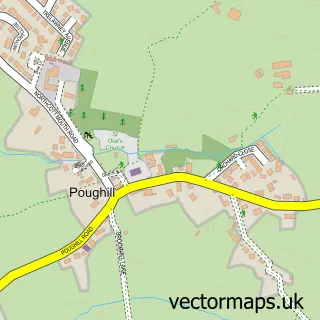
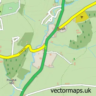
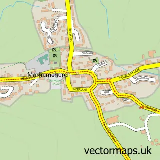
Nearby street map samples around Flexbury

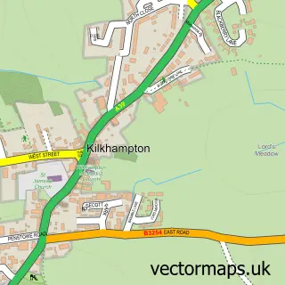

More street maps in Cornwall
750 metre map area coverage
Boundary, postcode and point of interest information for the 750m x 750m rectangle centred on this sample map.
Boundaries containing map centre
Constituency: North Cornwall Co Const
District: Cornwall
Icb: NHS Cornwall and the Isles of Scilly ICB
Parish: Bude-Stratton CP
Police Force: devon and cornwall
Postcode District: EX23
Postcode Sector: EX23 8
Nearby boundaries intersecting sample
Postcode Sector: EX23 9
Postcode coverage
POI category counts
Hotel: 9
Bed And Breakfast: 6
Preschool: 3
Building Supply Store: 2
Chinese Restaurant: 2
Electrician: 2
Furniture Store: 2
Music School: 2
Professional Services: 2
Accommodation: 1
Sample points of interest
- Ocean House
- Timart
- Bude Ambulance Station
- British Red Cross
- Cbl Stove & Chimney Specialists
- Sam Edwards Garage LLP
- Blue I.T
- Bude Haven Hotel
- Dylan's
- Surf Haven
- The Bude Haven
- Wyvern House
Create a larger editable map of Flexbury
This sample shows only a 750 metre area. To create a larger map of Flexbury, use our map builder to choose your own coverage area, add titles and download editable SVG, PDF and PNG files.
Create a custom map of Flexbury