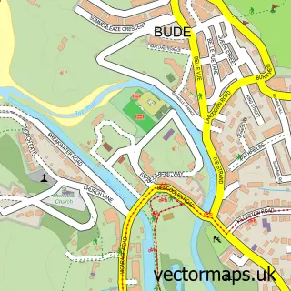
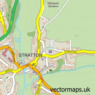
This Widemouth Bay street map is a detailed vector street map covering a 750m x 750m area. Select a larger area to create and download your own vector street map of Widemouth Bay.
The 750-metre map sample for Widemouth Bay covers 211 mapped buildings and approximately 8.5 km of road detail, of which 11 named roads are named. The wider area around Widemouth Bay features 3 food and drink venues, 3 hotels and 3 campsites within 2 miles. To create a larger or custom map of Widemouth Bay, the map builder lets you define your own coverage area and download editable SVG, PDF and PNG files.
Create a larger editable map of Widemouth Bay
Choose any area you need and generate a high-quality vector map instantly. Perfect for print, planning, design, business and personal use.

This Widemouth Bay street map in Cornwall is available as downloadable SVG, PDF and PNG map files, or as a printed map for planning, business, display, education, local information and design work. You can also create a larger custom map area using the map selector.
What this Widemouth Bay map sample shows
Widemouth Bay lies within Poundstock Cp parish, part of Poundstock ward in the Cornwall local authority area. The postcode geography for this area includes the EX postcode area, the EX23 postcode district and the EX23 0 postcode sector. Residents fall under the Nhs Cornwall And The Isles Of Scilly Integrated Care Board for NHS services.
Local features near Widemouth Bay
Within 2 milesAmenities and services in and around Widemouth Bay.
Administrative and postcode information for Widemouth Bay
The local authority covering Widemouth Bay is Cornwall, within the county of Cornwall. The settlement lies within Poundstock ward and Poundstock Cp civil parish. The EX23 postcode district and EX23 0 postcode sector serve the immediate area. NHS provision in the area is delivered through Northern Devon Nhs Trust.
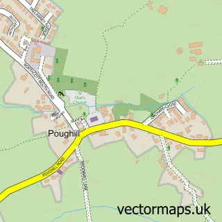
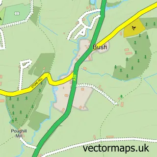
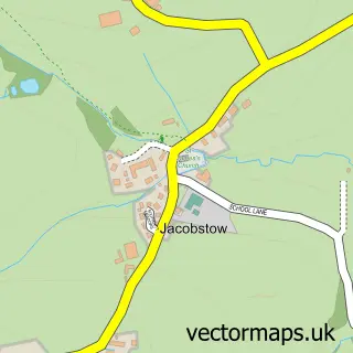
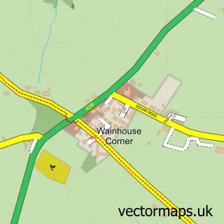
Nearby street map samples around Widemouth Bay


More street maps in Cornwall
750 metre map area coverage
Boundary, postcode and point of interest information for the 750m x 750m rectangle centred on this sample map.
Boundaries containing map centre
Constituency: North Cornwall Co Const
District: Cornwall
Icb: NHS Cornwall and the Isles of Scilly ICB
Parish: Poundstock CP
Police Force: devon and cornwall
Postcode District: EX23
Postcode Sector: EX23 0
Nearby boundaries intersecting sample
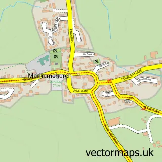
Parish: Marhamchurch CP
Postcode coverage
POI category counts
Holiday Rental Home: 8
Hotel: 3
Restaurant: 2
Sports And Fitness Instruction: 2
Anglican Church: 1
Architectural Designer: 1
Beach: 1
Bed And Breakfast: 1
Cafe: 1
Carpet Store: 1
Sample points of interest
- Widemouth Bay: Our Lady & St Anne
- Vanishing Point Art and Design
- Widemouth Beach
- The Beach House B&B
- Widemouth Bay Cafe
- Ado Shorland- Shor-fit Flooring
- Our Lady and St Anne
- Beach House Shop & Wet Fish
- 1 The Mallows
- Baywatch Widemouth Bay
- Gwelmor Holiday Home, Cornwall
- One The Mallows
Create a larger editable map of Widemouth Bay
This sample shows only a 750 metre area. To create a larger map of Widemouth Bay, use our map builder to choose your own coverage area, add titles and download editable SVG, PDF and PNG files.
Create a custom map of Widemouth Bay