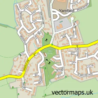
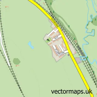
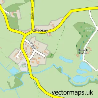
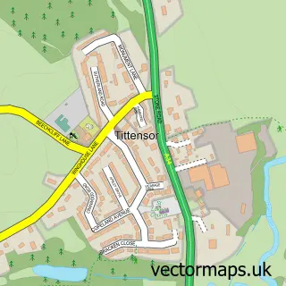
This Cold Meece street map is a detailed vector street map covering a 750m x 750m area. Select a larger area to create and download your own vector street map of Cold Meece.
The 750-metre map sample for Cold Meece covers 98 mapped buildings and approximately 11.8 km of road detail, of which 11 named roads are named. The immediate area includes 4 MOT stations within 2 miles. To create a larger or custom map of Cold Meece, the map builder lets you define your own coverage area and download editable SVG, PDF and PNG files.
Create a larger editable map of Cold Meece
Choose any area you need and generate a high-quality vector map instantly. Perfect for print, planning, design, business and personal use.

This Cold Meece street map in Staffordshire is available as downloadable SVG, PDF and PNG map files, or as a printed map for planning, business, display, education, local information and design work. You can also create a larger custom map area using the map selector.
What this Cold Meece map sample shows
Cold Meece lies within Yarnfield And Cold Meece Cp parish, part of Swynnerton & Oulton ward in the Stafford District (B) local authority area. The postcode geography for this area includes the ST postcode area, the ST15 postcode district and the ST15 0 postcode sector. Residents fall under the Nhs Staffordshire And Stoke-On-Trent Integrated Care Board for NHS services.
Local features near Cold Meece
Within 2 milesAmenities and services in and around Cold Meece.
Administrative and postcode information for Cold Meece
Cold Meece lies within Yarnfield And Cold Meece Cp parish, part of Swynnerton & Oulton ward in the Stafford District (B) local authority area. The postcode geography for this area includes the ST postcode area, the ST15 postcode district and the ST15 0 postcode sector. Residents fall under the Nhs Staffordshire And Stoke-On-Trent Integrated Care Board for NHS services.
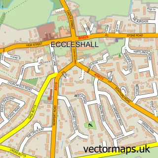
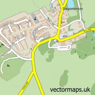
Nearby street map samples around Cold Meece

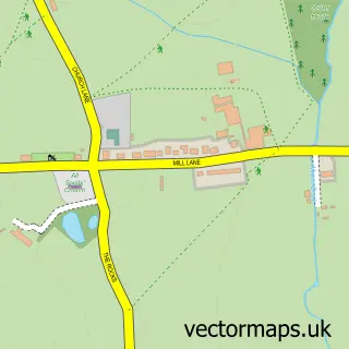
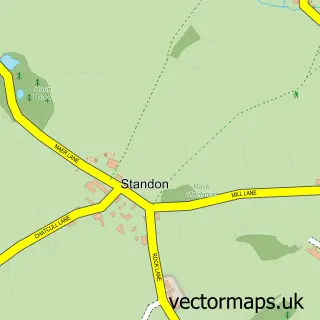
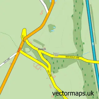
More street maps in Staffordshire
750 metre map area coverage
Boundary, postcode and point of interest information for the 750m x 750m rectangle centred on this sample map.
Boundaries containing map centre
Constituency: Stoke-on-Trent South Co Const
County: Staffordshire County
District: Stafford District (B)
Icb: NHS Staffordshire and Stoke-on-Trent ICB
Parish: Yarnfield and Cold Meece CP
Police Force: staffordshire
Postcode District: ST15
Postcode Sector: ST15 0
Ward: Swynnerton & Oulton Ward
Nearby boundaries intersecting sample
Constituency: Stafford Co Const
Parish: Eccleshall CP
Ward: Eccleshall Ward
Postcode coverage
POI category counts
Naturopathic Holistic: 2
Armed Forces Branch: 1
Audiovisual Equipment Rental: 1
Broadcasting Media Production: 1
Convenience Store: 1
Electrician: 1
Lighting Store: 1
Nursery And Gardening: 1
Prenatal Perinatal Care: 1
Train Station: 1
Sample points of interest
- Swynnerton Training Camp
- Hood Plant Hire
- Studio 19 Film
- Costcutter
- Eurolighting
- E2 Contract Lighting
- HeartSpace
- Susanna Guest
- Kays Garden
- Just Be
- Cold Meece railway station
Create a larger editable map of Cold Meece
This sample shows only a 750 metre area. To create a larger map of Cold Meece, use our map builder to choose your own coverage area, add titles and download editable SVG, PDF and PNG files.
Create a custom map of Cold Meece