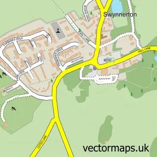
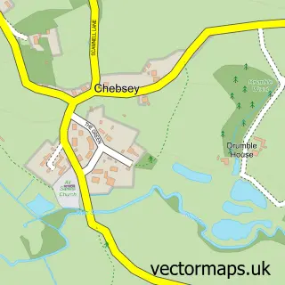
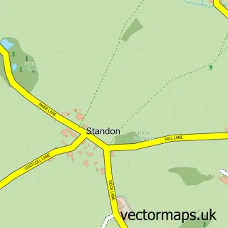
This Yarnfield street map is a detailed vector street map covering a 750m x 750m area. Select a larger area to create and download your own vector street map of Yarnfield.
The 750-metre map sample for Yarnfield covers 386 mapped buildings and approximately 14.1 km of road detail, of which 32 named roads are named. The immediate area includes 1 school and 2 MOT stations within 2 miles. To create a larger or custom map of Yarnfield, the map builder lets you define your own coverage area and download editable SVG, PDF and PNG files.
Create a larger editable map of Yarnfield
Choose any area you need and generate a high-quality vector map instantly. Perfect for print, planning, design, business and personal use.

This Yarnfield street map in Staffordshire is available as downloadable SVG, PDF and PNG map files, or as a printed map for planning, business, display, education, local information and design work. You can also create a larger custom map area using the map selector.
What this Yarnfield map sample shows
Yarnfield lies within Yarnfield And Cold Meece Cp parish, part of Swynnerton & Oulton ward in the Stafford District (B) local authority area. The postcode geography for this area includes the ST postcode area, the ST15 postcode district and the ST15 0 postcode sector. Residents fall under the Nhs Staffordshire And Stoke-On-Trent Integrated Care Board for NHS services.
Local features near Yarnfield
Within 2 milesAmenities and services in and around Yarnfield.
Administrative and postcode information for Yarnfield
The local authority covering Yarnfield is Stafford District (B), within the county of Staffordshire. The settlement lies within Swynnerton & Oulton ward and Yarnfield And Cold Meece Cp civil parish. The ST15 postcode district and ST15 0 postcode sector serve the immediate area. NHS provision in the area is delivered through University Hospitals Of North Midlands Nhs Trust.
Nearby street map samples around Yarnfield

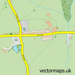
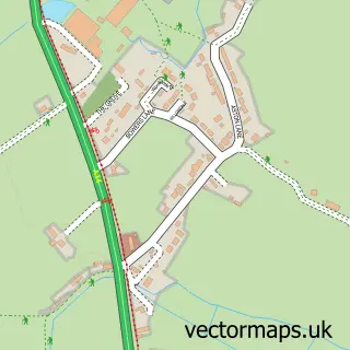
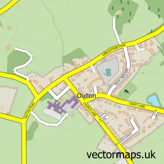
More street maps in Staffordshire
750 metre map area coverage
Boundary, postcode and point of interest information for the 750m x 750m rectangle centred on this sample map.
Boundaries containing map centre
Constituency: Stoke-on-Trent South Co Const
County: Staffordshire County
District: Stafford District (B)
Icb: NHS Staffordshire and Stoke-on-Trent ICB
Parish: Yarnfield and Cold Meece CP
Police Force: staffordshire
Postcode District: ST15
Postcode Sector: ST15 0
Ward: Swynnerton & Oulton Ward
Nearby boundaries intersecting sample
No additional intersecting boundaries found.
Postcode coverage
POI category counts
Post Office: 2
Automotive Repair: 1
Bar: 1
Beauty Salon: 1
Building Supply Store: 1
Driving School: 1
Elementary School: 1
Freight And Cargo Service: 1
Hair Salon: 1
Hvac Supplier: 1
Sample points of interest
- Revive
- Labour in Vain
- Beauty Rebellion
- Right Choice Landscaping
- Russell's Driving School
- Springfields First School
- David Beeston Haulage
- Cloud Nine
- A S L K Plumbing
- Yarnfield Sports Massage
- Western Union
- ASLK Plumbing
Create a larger editable map of Yarnfield
This sample shows only a 750 metre area. To create a larger map of Yarnfield, use our map builder to choose your own coverage area, add titles and download editable SVG, PDF and PNG files.
Create a custom map of Yarnfield