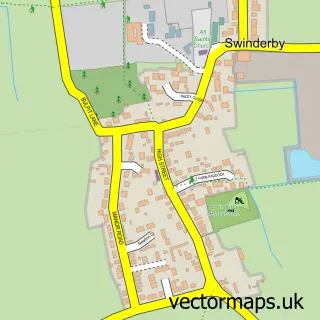
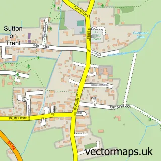
This Collingham street map is a detailed vector street map covering a 750m x 750m area. Select a larger area to create and download your own vector street map of Collingham.
The 750-metre map sample for Collingham covers 474 mapped buildings and approximately 28.4 km of road detail, of which 30 named roads are named. The immediate area includes 1 school, 1 GP surgery and 1 pub. The wider area around Collingham features 5 food and drink venues. To create a larger or custom map of Collingham, the map builder lets you define your own coverage area and download editable SVG, PDF and PNG files.
Create a larger editable map of Collingham
Choose any area you need and generate a high-quality vector map instantly. Perfect for print, planning, design, business and personal use.

This Collingham street map in Nottinghamshire is available as downloadable SVG, PDF and PNG map files, or as a printed map for planning, business, display, education, local information and design work. You can also create a larger custom map area using the map selector.
What this Collingham map sample shows
Collingham lies within Collingham Cp parish, part of Collingham ward in the Newark And Sherwood District local authority area. The postcode geography for this area includes the NG postcode area, the NG23 postcode district and the NG23 7 postcode sector. Residents fall under the Nhs Nottingham And Nottinghamshire Integrated Care Board for NHS services.
Local features near Collingham
Within 2 milesAmenities and services in and around Collingham.
Administrative and postcode information for Collingham
The local authority covering Collingham is Newark And Sherwood District, within the county of Nottinghamshire. The settlement lies within Collingham ward and Collingham Cp civil parish. The NG23 postcode district and NG23 7 postcode sector serve the immediate area. NHS provision in the area is delivered through Sherwood Forest Hospitals Nhs Foundation Trust.
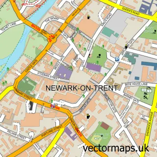
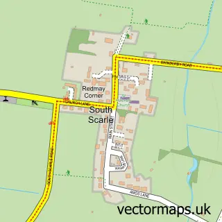
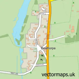
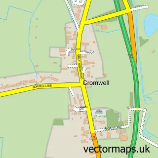
Nearby street map samples around Collingham

More street maps in Nottinghamshire
750 metre map area coverage
Boundary, postcode and point of interest information for the 750m x 750m rectangle centred on this sample map.
Boundaries containing map centre
Constituency: Newark Co Const
County: Nottinghamshire County
District: Newark and Sherwood District
Icb: NHS Nottingham and Nottinghamshire ICB
Parish: Collingham CP
Police Force: nottinghamshire
Postcode District: NG23
Postcode Sector: NG23 7
Ward: Collingham Ward
Nearby boundaries intersecting sample
No additional intersecting boundaries found.
Postcode coverage
POI category counts
Coffee Shop: 3
Financial Service: 3
Professional Services: 3
Beauty Salon: 2
Chiropractor: 2
Elementary School: 2
Funeral Services And Cemeteries: 2
Hair Salon: 2
Library: 2
Package Locker: 2
Sample points of interest
- Acupuncture Collingham
- All Saints, Collingham
- Lincolnshire Co-op - Collingham (new), Collingham
- Bellissima Beauty & Aesthetics
- Hayley Jayne Retreat
- Trent Bicycle Works
- Collingham Cafe and Co-Op
- ChiroPlus
- Chiroplus Within Collingham Medical Centre
- All Saints' Church
- Beyond Coffee Collingham
- Costa Express
Create a larger editable map of Collingham
This sample shows only a 750 metre area. To create a larger map of Collingham, use our map builder to choose your own coverage area, add titles and download editable SVG, PDF and PNG files.
Create a custom map of Collingham