This Newark on Trent street map is a detailed vector street map covering a 750m x 750m area. Select a larger area to create and download your own vector street map of Newark on Trent.
The 750-metre map sample for Newark on Trent covers 285 mapped buildings and approximately 27.2 km of road detail, of which 55 named roads are named. The immediate area includes 1 school, 3 GP surgeries, with 4 within 2 miles, 30 pubs and 2 MOT stations, with 17 within 2 miles. The wider area around Newark on Trent features 13 tourism points of interest, 64 food and drink venues and 4 hotels. To create a larger or custom map of Newark on Trent, the map builder lets you define your own coverage area and download editable SVG, PDF and PNG files.
Create a larger editable map of Newark on Trent
Choose any area you need and generate a high-quality vector map instantly. Perfect for print, planning, design, business and personal use.

This Newark on Trent street map in Nottinghamshire is available as downloadable SVG, PDF and PNG map files, or as a printed map for planning, business, display, education, local information and design work. You can also create a larger custom map area using the map selector.
What this Newark on Trent map sample shows
Newark on Trent lies within Newark Cp parish, part of Castle ward in the Newark And Sherwood District local authority area. The postcode geography for this area includes the NG postcode area, the NG24 postcode district and the NG24 1 postcode sector. Residents fall under the Nhs Nottingham And Nottinghamshire Integrated Care Board for NHS services.
Local features near Newark on Trent
Within 2 milesAmenities and services in and around Newark on Trent.
Administrative and postcode information for Newark on Trent
Newark on Trent lies within Newark Cp parish, part of Castle ward in the Newark And Sherwood District local authority area. The postcode geography for this area includes the NG postcode area, the NG24 postcode district and the NG24 1 postcode sector. Residents fall under the Nhs Nottingham And Nottinghamshire Integrated Care Board for NHS services.
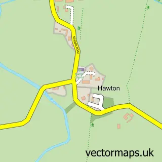
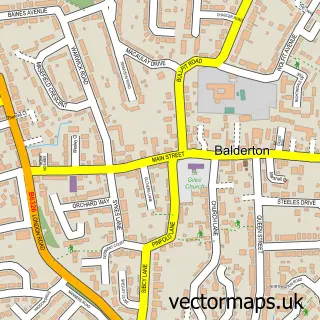
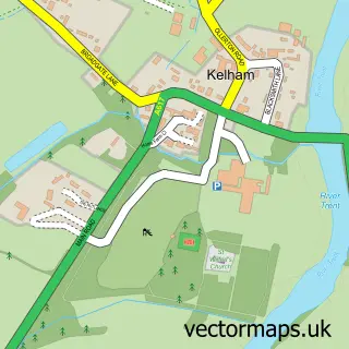
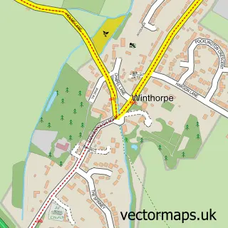
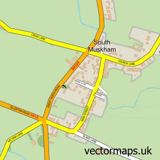
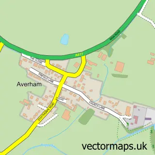
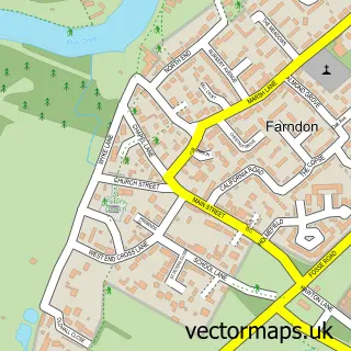
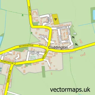
Nearby street map samples around Newark on Trent

More street maps in Nottinghamshire
750 metre map area coverage
Boundary, postcode and point of interest information for the 750m x 750m rectangle centred on this sample map.
Boundaries containing map centre
Constituency: Newark Co Const
County: Nottinghamshire County
District: Newark and Sherwood District
Icb: NHS Nottingham and Nottinghamshire ICB
Parish: Newark CP
Police Force: nottinghamshire
Postcode District: NG24
Postcode Sector: NG24 1
Ward: Castle Ward
Nearby boundaries intersecting sample
Postcode Sector: NG24 4
Ward: Beacon Ward, Bridge Ward, Devon Ward
Postcode coverage
POI category counts
Pub: 30
Hair Salon: 27
Beauty Salon: 24
Antique Store: 19
Charity Organization: 17
Barber: 16
Furniture Store: 15
Coffee Shop: 14
Cafe: 13
Clothing Store: 13
Sample points of interest
- Barker Maule & Co
- TaxAssist Accountants
- Tom Geraghty & Associates
- Zest Accountants
- Gym Recipes
- Meraki Holistics - Catherine Musgrove
- Newark Acupuncture Centre
- Connexions
- Newark Community Development Project
- Re-align
- UMETV Media
- Children's Bereavement Centre
Create a larger editable map of Newark on Trent
This sample shows only a 750 metre area. To create a larger map of Newark on Trent, use our map builder to choose your own coverage area, add titles and download editable SVG, PDF and PNG files.
Create a custom map of Newark on Trent