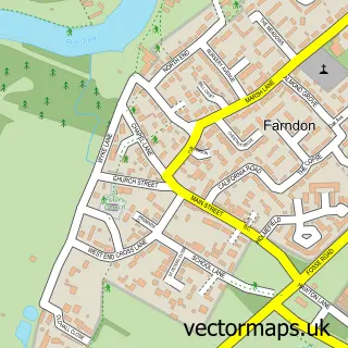
This Fernwood street map is a detailed vector street map covering a 750m x 750m area. Select a larger area to create and download your own vector street map of Fernwood.
The 750-metre map sample for Fernwood covers 485 mapped buildings and approximately 31.2 km of road detail, of which 41 named roads are named. The immediate area includes 1 GP surgery within 2 miles, 2 pubs and 3 MOT stations within 2 miles. The wider area around Fernwood features 1 tourism point of interest and 3 food and drink venues. To create a larger or custom map of Fernwood, the map builder lets you define your own coverage area and download editable SVG, PDF and PNG files.
Create a larger editable map of Fernwood
Choose any area you need and generate a high-quality vector map instantly. Perfect for print, planning, design, business and personal use.

This Fernwood street map in Nottinghamshire is available as downloadable SVG, PDF and PNG map files, or as a printed map for planning, business, display, education, local information and design work. You can also create a larger custom map area using the map selector.
What this Fernwood map sample shows
Fernwood lies within Balderton Cp parish, part of Balderton South ward in the Newark And Sherwood District local authority area. The postcode geography for this area includes the NG postcode area, the NG24 postcode district and the NG24 3 postcode sector. Residents fall under the Nhs Nottingham And Nottinghamshire Integrated Care Board for NHS services.
Local features near Fernwood
Within 2 milesAmenities and services in and around Fernwood.
Administrative and postcode information for Fernwood
The local authority covering Fernwood is Newark And Sherwood District, within the county of Nottinghamshire. The settlement lies within Balderton South ward and Balderton Cp civil parish. The NG24 postcode district and NG24 3 postcode sector serve the immediate area. NHS provision in the area is delivered through Sherwood Forest Hospitals Nhs Foundation Trust.
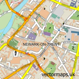
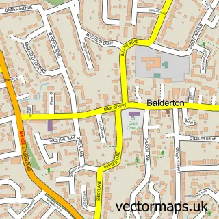
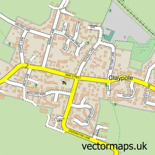
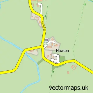
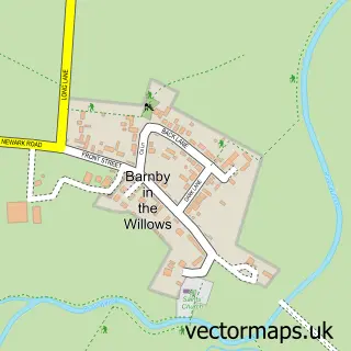
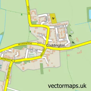
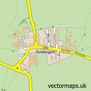
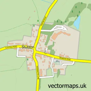
Nearby street map samples around Fernwood

More street maps in Nottinghamshire
750 metre map area coverage
Boundary, postcode and point of interest information for the 750m x 750m rectangle centred on this sample map.
Boundaries containing map centre
Constituency: Newark Co Const
County: Nottinghamshire County
District: Newark and Sherwood District
Icb: NHS Nottingham and Nottinghamshire ICB
Parish: Fernwood CP
Police Force: nottinghamshire
Postcode District: NG24
Postcode Sector: NG24 3
Ward: Farndon & Fernwood Ward
Nearby boundaries intersecting sample
No additional intersecting boundaries found.
Postcode coverage
POI category counts
Professional Services: 6
Automotive Services And Repair: 3
Beauty Salon: 3
Alternative Medicine: 2
Building Supply Store: 2
Gym: 2
Pub: 2
Retail: 2
Veterinarian: 2
Web Designer: 2
Sample points of interest
- Psychicjanie.co.uk
- Purely Holistic
- Framin' 'Ell
- Lwf Mortgages
- Aura Wedding Cars
- EHS Data
- Touch One Solutions
- Pippa's Patisserie
- Earl's
- Celestial Beauty
- Crystal Tips - Amanda Rushby
- Melissa Gent Bespoke Beauty
Create a larger editable map of Fernwood
This sample shows only a 750 metre area. To create a larger map of Fernwood, use our map builder to choose your own coverage area, add titles and download editable SVG, PDF and PNG files.
Create a custom map of Fernwood