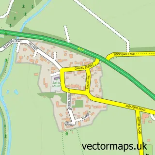
This Claypole street map is a detailed vector street map covering a 750m x 750m area. Select a larger area to create and download your own vector street map of Claypole.
The 750-metre map sample for Claypole covers 418 mapped buildings and approximately 19.0 km of road detail, of which 22 named roads are named. The immediate area includes 1 school. The wider area around Claypole features 1 food and drink venue. To create a larger or custom map of Claypole, the map builder lets you define your own coverage area and download editable SVG, PDF and PNG files.
Create a larger editable map of Claypole
Choose any area you need and generate a high-quality vector map instantly. Perfect for print, planning, design, business and personal use.

This Claypole street map in Lincolnshire is available as downloadable SVG, PDF and PNG map files, or as a printed map for planning, business, display, education, local information and design work. You can also create a larger custom map area using the map selector.
What this Claypole map sample shows
Claypole lies within Claypole Cp parish, part of Viking ward in the South Kesteven District local authority area. The postcode geography for this area includes the NG postcode area, the NG23 postcode district and the NG23 5 postcode sector. Residents fall under the Nhs Lincolnshire Integrated Care Board for NHS services.
Local features near Claypole
Within 2 milesAmenities and services in and around Claypole.
Administrative and postcode information for Claypole
The local authority covering Claypole is South Kesteven District, within the county of Lincolnshire. The settlement lies within Viking ward and Claypole Cp civil parish. The NG23 postcode district and NG23 5 postcode sector serve the immediate area. NHS provision in the area is delivered through United Lincolnshire Hospitals Nhs Trust.
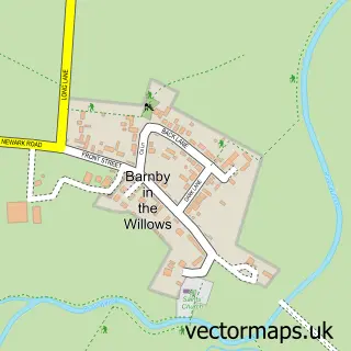
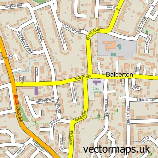
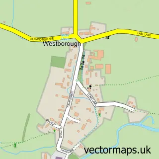
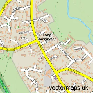
Nearby street map samples around Claypole

More street maps in Lincolnshire
750 metre map area coverage
Boundary, postcode and point of interest information for the 750m x 750m rectangle centred on this sample map.
Boundaries containing map centre
Constituency: Grantham and Bourne Co Const
County: Lincolnshire County
District: South Kesteven District
Icb: NHS Lincolnshire ICB
Parish: Claypole CP
Police Force: lincolnshire
Postcode District: NG23
Postcode Sector: NG23 5
Ward: Viking Ward
Nearby boundaries intersecting sample
No additional intersecting boundaries found.
Postcode coverage
POI category counts
Automotive Repair: 2
Caterer: 2
Dog Walkers: 2
Elementary School: 2
Active Life: 1
Advertising Agency: 1
Beauty And Spa: 1
Church Cathedral: 1
Coffee Shop: 1
Community Center: 1
Sample points of interest
- Southwell Golf Course
- Cosign
- GAB Auto Repairs and Carbon Cleaning DPF
- Gab Auto Repairs
- Shine
- Little John's Hog Roast
- Little John's Hog Roast
- Rectory for Refugees - Claypole
- The Side House
- Claypole Village Hall
- Sweet Dog Walks
- Wags to Whiskers
Create a larger editable map of Claypole
This sample shows only a 750 metre area. To create a larger map of Claypole, use our map builder to choose your own coverage area, add titles and download editable SVG, PDF and PNG files.
Create a custom map of Claypole