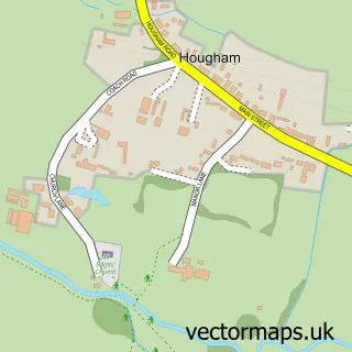
This Long Bennington street map is a detailed vector street map covering a 750m x 750m area. Select a larger area to create and download your own vector street map of Long Bennington.
The 750-metre map sample for Long Bennington covers 445 mapped buildings and approximately 20.4 km of road detail, of which 26 named roads are named. The immediate area includes 1 school, 1 GP surgery within 2 miles, 2 pubs and 1 MOT station within 2 miles. The wider area around Long Bennington features 1 tourism point of interest and 4 food and drink venues. To create a larger or custom map of Long Bennington, the map builder lets you define your own coverage area and download editable SVG, PDF and PNG files.
Create a larger editable map of Long Bennington
Choose any area you need and generate a high-quality vector map instantly. Perfect for print, planning, design, business and personal use.

This Long Bennington street map in Lincolnshire is available as downloadable SVG, PDF and PNG map files, or as a printed map for planning, business, display, education, local information and design work. You can also create a larger custom map area using the map selector.
What this Long Bennington map sample shows
Long Bennington lies within Long Bennington Cp parish, part of Viking ward in the South Kesteven District local authority area. The postcode geography for this area includes the NG postcode area, the NG23 postcode district and the NG23 5 postcode sector. Residents fall under the Nhs Lincolnshire Integrated Care Board for NHS services.
Local features near Long Bennington
Within 2 milesAmenities and services in and around Long Bennington.
Administrative and postcode information for Long Bennington
Long Bennington lies within Long Bennington Cp parish, part of Viking ward in the South Kesteven District local authority area. The postcode geography for this area includes the NG postcode area, the NG23 postcode district and the NG23 5 postcode sector. Residents fall under the Nhs Lincolnshire Integrated Care Board for NHS services.
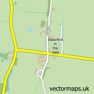
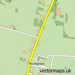
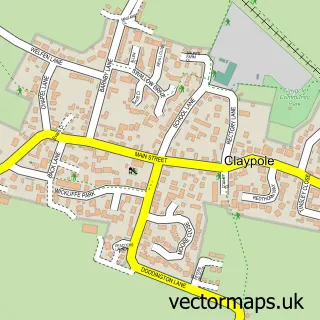
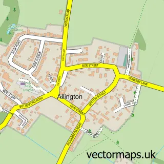
Nearby street map samples around Long Bennington

More street maps in Lincolnshire
750 metre map area coverage
Boundary, postcode and point of interest information for the 750m x 750m rectangle centred on this sample map.
Boundaries containing map centre
Constituency: Grantham and Bourne Co Const
County: Lincolnshire County
District: South Kesteven District
Icb: NHS Lincolnshire ICB
Parish: Long Bennington CP
Police Force: lincolnshire
Postcode District: NG23
Postcode Sector: NG23 5
Ward: Viking Ward
Nearby boundaries intersecting sample
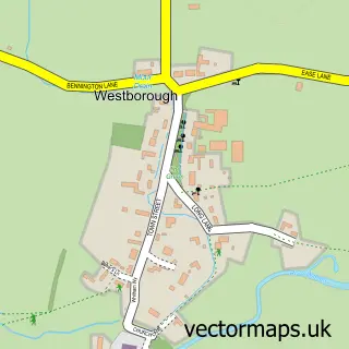
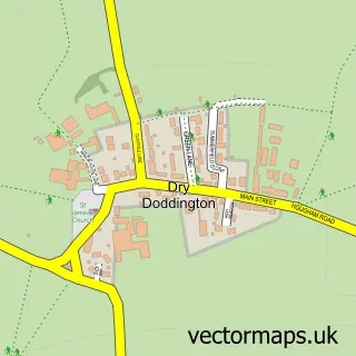
Parish: Westborough and Dry Doddington CP
Postcode coverage
POI category counts
Business Management Services: 2
Coffee Shop: 2
Furniture Store: 2
Pub: 2
Advertising Agency: 1
Art Gallery: 1
Attractions And Activities: 1
Auto Electrical Repair: 1
Bangladeshi Restaurant: 1
Bar: 1
Sample points of interest
- Russfussuk Design
- The Glass and Art Studio
- Long Bennington Gardening Club - VPA
- Murphy Electrics
- Ashiana Indian Takeaway
- Coxy’s Bar
- Pure Gorgeous Beauty
- Luella Elizabeth Bridal
- Manor Carpet & Upholstery Cleaning
- Premier Data Solutions
- Russfussuk Design
- Sandlegold Ltd.
Create a larger editable map of Long Bennington
This sample shows only a 750 metre area. To create a larger map of Long Bennington, use our map builder to choose your own coverage area, add titles and download editable SVG, PDF and PNG files.
Create a custom map of Long Bennington