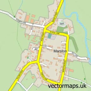
This Dry Doddington street map is a detailed vector street map covering a 750m x 750m area. Select a larger area to create and download your own vector street map of Dry Doddington.
The 750-metre map sample for Dry Doddington covers 116 mapped buildings and approximately 15.8 km of road detail, of which 9 named roads are named. The immediate area includes 1 GP surgery within 2 miles. To create a larger or custom map of Dry Doddington, the map builder lets you define your own coverage area and download editable SVG, PDF and PNG files.
Create a larger editable map of Dry Doddington
Choose any area you need and generate a high-quality vector map instantly. Perfect for print, planning, design, business and personal use.

This Dry Doddington street map in Lincolnshire is available as downloadable SVG, PDF and PNG map files, or as a printed map for planning, business, display, education, local information and design work. You can also create a larger custom map area using the map selector.
What this Dry Doddington map sample shows
Dry Doddington lies within Westborough And Dry Doddington Cp parish, part of Viking ward in the South Kesteven District local authority area. The postcode geography for this area includes the NG postcode area, the NG23 postcode district and the NG23 5 postcode sector. Residents fall under the Nhs Lincolnshire Integrated Care Board for NHS services.
Local features near Dry Doddington
Within 2 milesAmenities and services in and around Dry Doddington.
Administrative and postcode information for Dry Doddington
The local authority covering Dry Doddington is South Kesteven District, within the county of Lincolnshire. The settlement lies within Viking ward and Westborough And Dry Doddington Cp civil parish. The NG23 postcode district and NG23 5 postcode sector serve the immediate area. NHS provision in the area is delivered through United Lincolnshire Hospitals Nhs Trust.
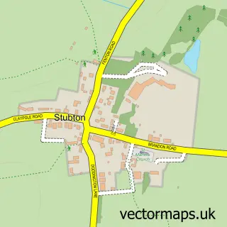
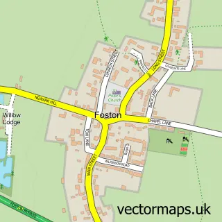
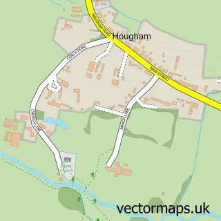
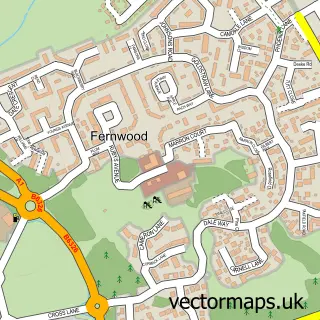
Nearby street map samples around Dry Doddington

More street maps in Lincolnshire
750 metre map area coverage
Boundary, postcode and point of interest information for the 750m x 750m rectangle centred on this sample map.
Boundaries containing map centre
Constituency: Grantham and Bourne Co Const
County: Lincolnshire County
District: South Kesteven District
Icb: NHS Lincolnshire ICB
Parish: Westborough and Dry Doddington CP
Police Force: lincolnshire
Postcode District: NG23
Postcode Sector: NG23 5
Ward: Viking Ward
Nearby boundaries intersecting sample
No additional intersecting boundaries found.
Postcode coverage
POI category counts
Automotive Repair: 2
Event Planning: 2
Pet Sitting: 2
Venue And Event Space: 2
Anglican Church: 1
Animal Shelter: 1
Church Cathedral: 1
Cottage: 1
Flowers And Gifts Shop: 1
Pet Groomer: 1
Sample points of interest
- St James', Dry Doddington
- Wispytufts Boarding Kennels & Cattery
- Dandy Motors and Repairs
- Lincolnshire Corvette
- St James Church
- Secret garden glamping
- Dry Doddington Village Hall
- Secret Garden Soirees
- Flower Barn
- Precious Paws Dog Grooming and Spa Services
- Aunt Vickie Animal Nanny
- Wispytufts Boarding Kennels
Create a larger editable map of Dry Doddington
This sample shows only a 750 metre area. To create a larger map of Dry Doddington, use our map builder to choose your own coverage area, add titles and download editable SVG, PDF and PNG files.
Create a custom map of Dry Doddington