This Staunton in the Vale street map is a detailed vector street map covering a 750m x 750m area. Select a larger area to create and download your own vector street map of Staunton in the Vale.
The 750-metre map sample for Staunton in the Vale covers 34 mapped buildings and approximately 9.7 km of road detail, of which 1 named road are named. The immediate area includes 1 GP surgery within 2 miles, 2 pubs and 1 MOT station within 2 miles. The wider area around Staunton in the Vale features 2 food and drink venues. To create a larger or custom map of Staunton in the Vale, the map builder lets you define your own coverage area and download editable SVG, PDF and PNG files.
Create a larger editable map of Staunton in the Vale
Choose any area you need and generate a high-quality vector map instantly. Perfect for print, planning, design, business and personal use.

This Staunton in the Vale street map in Nottinghamshire is available as downloadable SVG, PDF and PNG map files, or as a printed map for planning, business, display, education, local information and design work. You can also create a larger custom map area using the map selector.
What this Staunton in the Vale map sample shows
Staunton in the Vale lies within Staunton Cp parish, part of Farndon & Fernwood ward in the Newark And Sherwood District local authority area. The postcode geography for this area includes the NG postcode area, the NG13 postcode district and the NG13 9 postcode sector. Residents fall under the Nhs Nottingham And Nottinghamshire Integrated Care Board for NHS services.
Local features near Staunton in the Vale
Within 2 milesAmenities and services in and around Staunton in the Vale.
Administrative and postcode information for Staunton in the Vale
Staunton in the Vale lies within Staunton Cp parish, part of Farndon & Fernwood ward in the Newark And Sherwood District local authority area. The postcode geography for this area includes the NG postcode area, the NG13 postcode district and the NG13 9 postcode sector. Residents fall under the Nhs Nottingham And Nottinghamshire Integrated Care Board for NHS services.
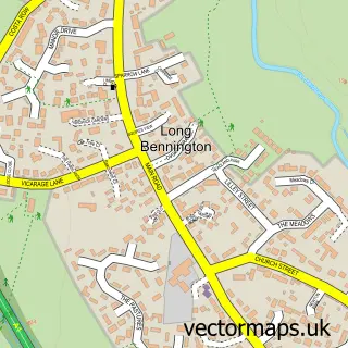
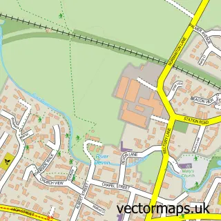
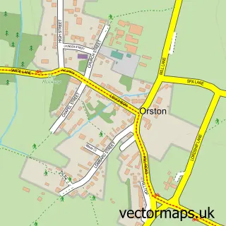
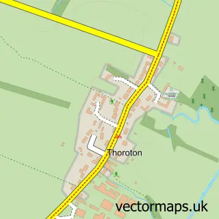
Nearby street map samples around Staunton in the Vale

More street maps in Nottinghamshire
750 metre map area coverage
Boundary, postcode and point of interest information for the 750m x 750m rectangle centred on this sample map.
Boundaries containing map centre
Constituency: Newark Co Const
County: Nottinghamshire County
District: Newark and Sherwood District
Icb: NHS Nottingham and Nottinghamshire ICB
Parish: Staunton CP
Police Force: nottinghamshire
Postcode District: NG13
Postcode Sector: NG13 9
Ward: Farndon & Fernwood Ward
Nearby boundaries intersecting sample
Parish: Kilvington CP
Postcode District: NG23
Postcode Sector: NG23 5
Postcode coverage
POI category counts
Pub: 2
Contractor: 1
Cottage: 1
Event Planning: 1
Plumbing: 1
Preschool: 1
Religious Organization: 1
Sample points of interest
- Avid Retail Interiors
- Crew Yard Cottage
- Belvoir Events Ltd
- Pegasus Pump
- Staunton Montessori Nursery School and Staunton Tutorial Centre
- Staunton Arms
- The Staunton Arms
- St Mary's Church, Staunton in the Vale
Create a larger editable map of Staunton in the Vale
This sample shows only a 750 metre area. To create a larger map of Staunton in the Vale, use our map builder to choose your own coverage area, add titles and download editable SVG, PDF and PNG files.
Create a custom map of Staunton in the Vale