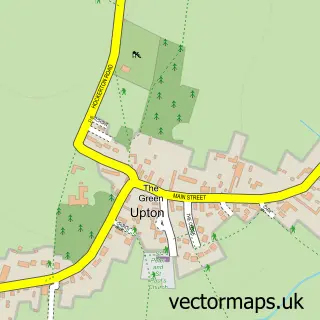
This Farndon street map is a detailed vector street map covering a 750m x 750m area. Select a larger area to create and download your own vector street map of Farndon.
The 750-metre map sample for Farndon covers 375 mapped buildings and approximately 21.1 km of road detail, of which 29 named roads are named. The immediate area includes 3 pubs and 2 MOT stations within 2 miles. The wider area around Farndon features 4 food and drink venues. To create a larger or custom map of Farndon, the map builder lets you define your own coverage area and download editable SVG, PDF and PNG files.
Create a larger editable map of Farndon
Choose any area you need and generate a high-quality vector map instantly. Perfect for print, planning, design, business and personal use.

This Farndon street map in Nottinghamshire is available as downloadable SVG, PDF and PNG map files, or as a printed map for planning, business, display, education, local information and design work. You can also create a larger custom map area using the map selector.
What this Farndon map sample shows
Farndon lies within Farndon Cp parish, part of Farndon & Fernwood ward in the Newark And Sherwood District local authority area. The postcode geography for this area includes the NG postcode area, the NG24 postcode district and the NG24 3 postcode sector. Residents fall under the Nhs Nottingham And Nottinghamshire Integrated Care Board for NHS services.
Local features near Farndon
Within 2 milesAmenities and services in and around Farndon.
Administrative and postcode information for Farndon
Farndon lies within Farndon Cp parish, part of Farndon & Fernwood ward in the Newark And Sherwood District local authority area. The postcode geography for this area includes the NG postcode area, the NG24 postcode district and the NG24 3 postcode sector. Residents fall under the Nhs Nottingham And Nottinghamshire Integrated Care Board for NHS services.
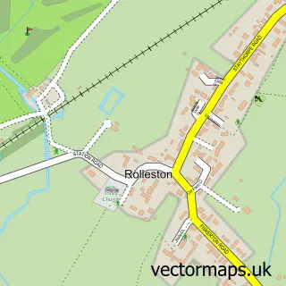
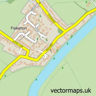
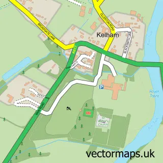
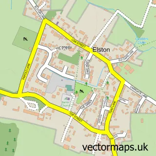
Nearby street map samples around Farndon

More street maps in Nottinghamshire
750 metre map area coverage
Boundary, postcode and point of interest information for the 750m x 750m rectangle centred on this sample map.
Boundaries containing map centre
Constituency: Newark Co Const
County: Nottinghamshire County
District: Newark and Sherwood District
Icb: NHS Nottingham and Nottinghamshire ICB
Parish: Farndon CP
Police Force: nottinghamshire
Postcode District: NG24
Postcode Sector: NG24 3
Ward: Farndon & Fernwood Ward
Nearby boundaries intersecting sample
Parish: Rolleston CP
Postcode District: NG23
Postcode Sector: NG23 5, NG24 4
Ward: Trent Ward
Postcode coverage
POI category counts
Convenience Store: 3
Pub: 3
Korean Grocery Store: 2
Lake: 2
Alternative Medicine: 1
American Restaurant: 1
Anglican Church: 1
Automotive: 1
Beauty And Spa: 1
Beauty Salon: 1
Sample points of interest
- Balance Hypnosis
- The Boathouse at Farndon
- St Peter's Farndon
- Stewart East Vehicle Technician
- Tonic Farndon
- The Hair Studio
- Nautical Training
- Storybook Wedding Photography
- The Farndon Ferry
- David West Building & Joinery Contractors
- St Peter's Church
- Farndon Memorial Hall
Create a larger editable map of Farndon
This sample shows only a 750 metre area. To create a larger map of Farndon, use our map builder to choose your own coverage area, add titles and download editable SVG, PDF and PNG files.
Create a custom map of Farndon