This Fiskerton street map is a detailed vector street map covering a 750m x 750m area. Select a larger area to create and download your own vector street map of Fiskerton.
The 750-metre map sample for Fiskerton covers 225 mapped buildings and approximately 9.4 km of road detail, of which 6 named roads are named. The immediate area includes 1 pub. The wider area around Fiskerton features 1 tourism point of interest and 1 food and drink venue. To create a larger or custom map of Fiskerton, the map builder lets you define your own coverage area and download editable SVG, PDF and PNG files.
Create a larger editable map of Fiskerton
Choose any area you need and generate a high-quality vector map instantly. Perfect for print, planning, design, business and personal use.

This Fiskerton street map in Nottinghamshire is available as downloadable SVG, PDF and PNG map files, or as a printed map for planning, business, display, education, local information and design work. You can also create a larger custom map area using the map selector.
What this Fiskerton map sample shows
Fiskerton lies within Fiskerton Cum Morton Cp parish, part of Trent ward in the Newark And Sherwood District local authority area. The postcode geography for this area includes the NG postcode area, the NG25 postcode district and the NG25 0 postcode sector. Residents fall under the Nhs Nottingham And Nottinghamshire Integrated Care Board for NHS services.
Local features near Fiskerton
Within 2 milesAmenities and services in and around Fiskerton.
Administrative and postcode information for Fiskerton
The local authority covering Fiskerton is Newark And Sherwood District, within the county of Nottinghamshire. The settlement lies within Trent ward and Fiskerton Cum Morton Cp civil parish. The NG25 postcode district and NG25 0 postcode sector serve the immediate area. NHS provision in the area is delivered through Sherwood Forest Hospitals Nhs Foundation Trust.
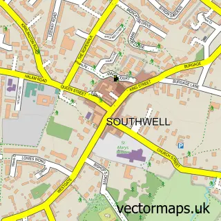
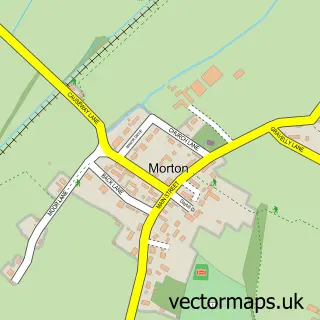
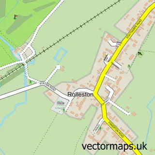
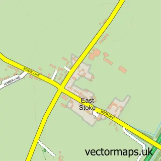
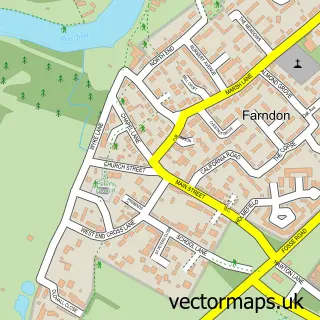
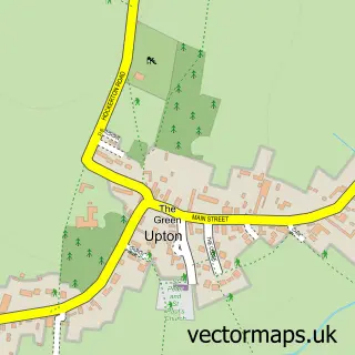
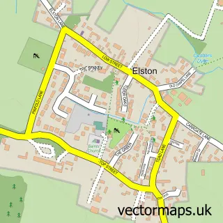
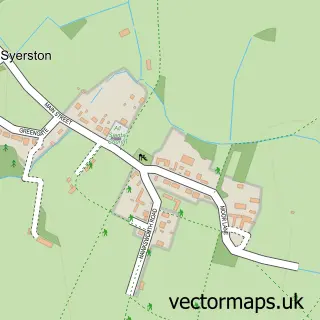
Nearby street map samples around Fiskerton


More street maps in Nottinghamshire
750 metre map area coverage
Boundary, postcode and point of interest information for the 750m x 750m rectangle centred on this sample map.
Boundaries containing map centre
Constituency: Newark Co Const
County: Nottinghamshire County
District: Newark and Sherwood District
Icb: NHS Nottingham and Nottinghamshire ICB
Parish: Fiskerton cum Morton CP
Police Force: nottinghamshire
Postcode District: NG25
Postcode Sector: NG25 0
Ward: Trent Ward
Nearby boundaries intersecting sample
Parish: East Stoke CP
Postcode District: NG23
Postcode Sector: NG23 5
Ward: Farndon & Fernwood Ward
Postcode coverage
POI category counts
Convenience Store: 2
Active Life: 1
Beauty Salon: 1
Business Consulting: 1
Contractor: 1
Engineering Services: 1
Gastropub: 1
Korean Grocery Store: 1
Landmark And Historical Building: 1
Motorsport Vehicle Dealer: 1
Sample points of interest
- Fiskerton Ferry Boat Hire
- The Stable Salon at Fiskerton
- Safety Shield
- Minster conservatories doors & windows ltd
- Costcutter
- Mace at Fiskerton
- Ellis Developments
- Bromley Arms
- Fiskerton Post Office
- Fiskerton, Nottinghamshire
- Arch Leisure
- Guitar & Bass Lessons
Create a larger editable map of Fiskerton
This sample shows only a 750 metre area. To create a larger map of Fiskerton, use our map builder to choose your own coverage area, add titles and download editable SVG, PDF and PNG files.
Create a custom map of Fiskerton