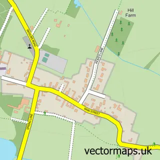
This Elston street map is a detailed vector street map covering a 750m x 750m area. Select a larger area to create and download your own vector street map of Elston.
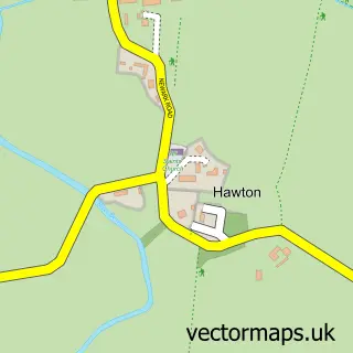
The 750-metre map sample for Elston covers 295 mapped buildings and approximately 14.0 km of road detail, of which 18 named roads are named. The immediate area includes 1 school and 1 pub. The wider area around Elston features 1 food and drink venue. To create a larger or custom map of Elston, the map builder lets you define your own coverage area and download editable SVG, PDF and PNG files.
Create a larger editable map of Elston
Choose any area you need and generate a high-quality vector map instantly. Perfect for print, planning, design, business and personal use.

This Elston street map in Nottinghamshire is available as downloadable SVG, PDF and PNG map files, or as a printed map for planning, business, display, education, local information and design work. You can also create a larger custom map area using the map selector.
What this Elston map sample shows
Elston lies within Elston Cp parish, part of Farndon & Fernwood ward in the Newark And Sherwood District local authority area. The postcode geography for this area includes the NG postcode area, the NG23 postcode district and the NG23 5 postcode sector. Residents fall under the Nhs Nottingham And Nottinghamshire Integrated Care Board for NHS services.
Local features near Elston
Within 2 milesAmenities and services in and around Elston.
Administrative and postcode information for Elston
The local authority covering Elston is Newark And Sherwood District, within the county of Nottinghamshire. The settlement lies within Farndon & Fernwood ward and Elston Cp civil parish. The NG23 postcode district and NG23 5 postcode sector serve the immediate area. NHS provision in the area is delivered through Sherwood Forest Hospitals Nhs Foundation Trust.
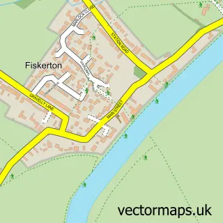
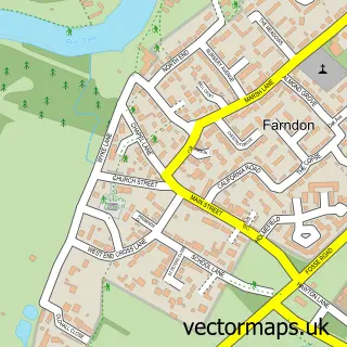
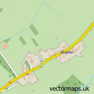
Nearby street map samples around Elston
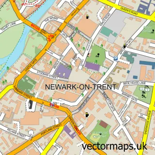

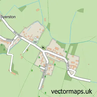
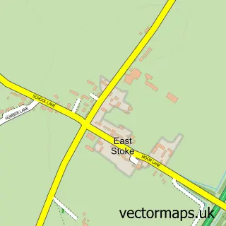
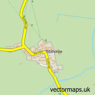
More street maps in Nottinghamshire
750 metre map area coverage
Boundary, postcode and point of interest information for the 750m x 750m rectangle centred on this sample map.
Boundaries containing map centre
Constituency: Newark Co Const
County: Nottinghamshire County
District: Newark and Sherwood District
Icb: NHS Nottingham and Nottinghamshire ICB
Parish: Elston CP
Police Force: nottinghamshire
Postcode District: NG23
Postcode Sector: NG23 5
Ward: Farndon & Fernwood Ward
Nearby boundaries intersecting sample
Parish: East Stoke CP
Postcode coverage
POI category counts
Church Cathedral: 2
Education: 2
Taxi Service: 2
Advertising Agency: 1
Anglican Church: 1
Assisted Living Facility: 1
Bar: 1
Bed And Breakfast: 1
Car Dealer: 1
Contractor: 1
Sample points of interest
- Fill the Gap Marketing
- All Saints Anglican Church Elston
- Elston House
- Chequers Inn
- Tudor Farm Elston
- D A Smith Motors
- All Saints Church
- Elston Chapel
- D G Joinery & General Building
- Elston Village Shop Ltd
- Loxley's Larder
- Ecosparkle
Create a larger editable map of Elston
This sample shows only a 750 metre area. To create a larger map of Elston, use our map builder to choose your own coverage area, add titles and download editable SVG, PDF and PNG files.
Create a custom map of Elston