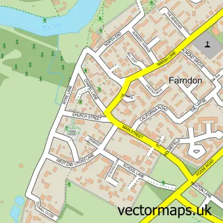
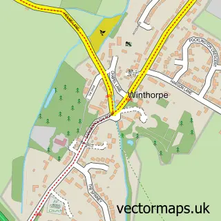
This Kelham street map is a detailed vector street map covering a 750m x 750m area. Select a larger area to create and download your own vector street map of Kelham.
The 750-metre map sample for Kelham covers 95 mapped buildings and approximately 18.1 km of road detail, of which 7 named roads are named. The immediate area includes 1 GP surgery within 2 miles, 1 pub and 3 MOT stations within 2 miles. The wider area around Kelham features 1 tourism point of interest, 1 food and drink venue and 2 hotels. To create a larger or custom map of Kelham, the map builder lets you define your own coverage area and download editable SVG, PDF and PNG files.
Create a larger editable map of Kelham
Choose any area you need and generate a high-quality vector map instantly. Perfect for print, planning, design, business and personal use.

This Kelham street map in Nottinghamshire is available as downloadable SVG, PDF and PNG map files, or as a printed map for planning, business, display, education, local information and design work. You can also create a larger custom map area using the map selector.
What this Kelham map sample shows
Kelham lies within Kelham Cp parish, part of Trent ward in the Newark And Sherwood District local authority area. The postcode geography for this area includes the NG postcode area, the NG23 postcode district and the NG23 5 postcode sector. Residents fall under the Nhs Nottingham And Nottinghamshire Integrated Care Board for NHS services.
Local features near Kelham
Within 2 milesAmenities and services in and around Kelham.
Administrative and postcode information for Kelham
Kelham lies within Kelham Cp parish, part of Trent ward in the Newark And Sherwood District local authority area. The postcode geography for this area includes the NG postcode area, the NG23 postcode district and the NG23 5 postcode sector. Residents fall under the Nhs Nottingham And Nottinghamshire Integrated Care Board for NHS services.
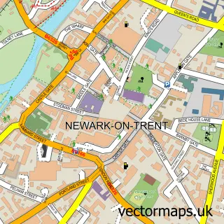
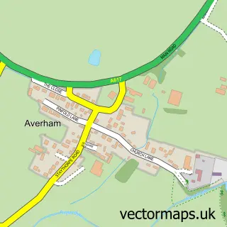
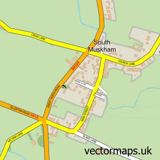
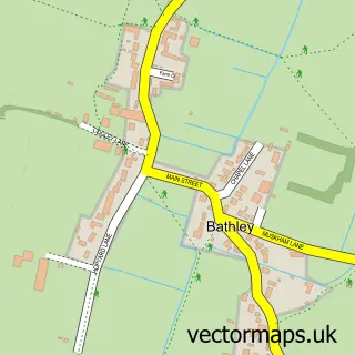
Nearby street map samples around Kelham

More street maps in Nottinghamshire
750 metre map area coverage
Boundary, postcode and point of interest information for the 750m x 750m rectangle centred on this sample map.
Boundaries containing map centre
Constituency: Newark Co Const
County: Nottinghamshire County
District: Newark and Sherwood District
Icb: NHS Nottingham and Nottinghamshire ICB
Parish: Kelham CP
Police Force: nottinghamshire
Postcode District: NG23
Postcode Sector: NG23 5
Ward: Trent Ward
Nearby boundaries intersecting sample
Parish: Averham CP
Postcode coverage
POI category counts
Event Planning: 3
Anglican Church: 1
Bed And Breakfast: 1
Energy Equipment And Solution: 1
Fair: 1
Food: 1
Gardener: 1
Hotel: 1
Landmark And Historical Building: 1
Life Coach: 1
Sample points of interest
- St Wilfrid’s, Kelham
- Kelham B&B
- Qualis Renewables
- Kelham Hall NSDC
- Kelham House Country Manor
- The Renaissance
- Letsxcape Ltd.
- Kelham House Country Hotel
- NB Installations
- Kelham Manor House Hotel
- Kelham Hall & Country Park
- Real Changes For Life
Create a larger editable map of Kelham
This sample shows only a 750 metre area. To create a larger map of Kelham, use our map builder to choose your own coverage area, add titles and download editable SVG, PDF and PNG files.
Create a custom map of Kelham