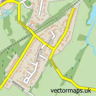
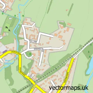
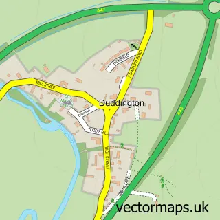
This Collyweston street map is a detailed vector street map covering a 750m x 750m area. Select a larger area to create and download your own vector street map of Collyweston.
The 750-metre map sample for Collyweston covers 166 mapped buildings and approximately 20.3 km of road detail, of which 16 named roads are named. The immediate area includes 2 pubs and 1 MOT station within 2 miles. The wider area around Collyweston features 2 food and drink venues. To create a larger or custom map of Collyweston, the map builder lets you define your own coverage area and download editable SVG, PDF and PNG files.
Create a larger editable map of Collyweston
Choose any area you need and generate a high-quality vector map instantly. Perfect for print, planning, design, business and personal use.

This Collyweston street map in Northamptonshire is available as downloadable SVG, PDF and PNG map files, or as a printed map for planning, business, display, education, local information and design work. You can also create a larger custom map area using the map selector.
What this Collyweston map sample shows
Collyweston lies within Collyweston Cp parish, part of Fineshade ward in the North Northamptonshire local authority area. The postcode geography for this area includes the PE postcode area, the PE9 postcode district and the PE9 3 postcode sector. Residents fall under the Nhs Northamptonshire Integrated Care Board for NHS services.
Local features near Collyweston
Within 2 milesAmenities and services in and around Collyweston.
Administrative and postcode information for Collyweston
The local authority covering Collyweston is North Northamptonshire, within the county of Northamptonshire. The settlement lies within Fineshade ward and Collyweston Cp civil parish. The PE9 postcode district and PE9 3 postcode sector serve the immediate area. NHS provision in the area is delivered through North West Anglia Nhs Foundation Trust.
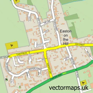
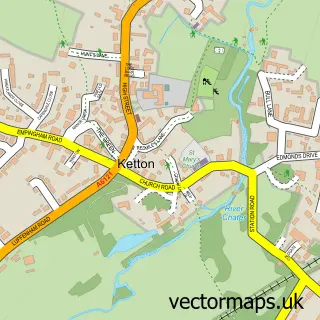
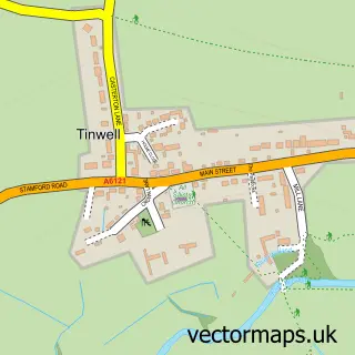
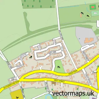
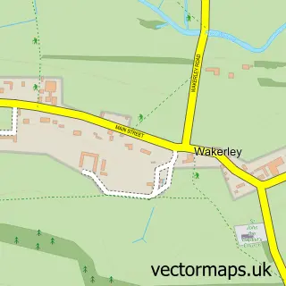
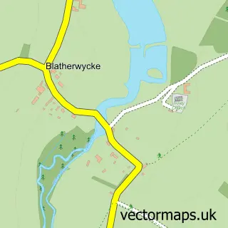
Nearby street map samples around Collyweston

More street maps in Northamptonshire
750 metre map area coverage
Boundary, postcode and point of interest information for the 750m x 750m rectangle centred on this sample map.
Boundaries containing map centre
Constituency: Corby and East Northamptonshire Co Const
District: North Northamptonshire
Icb: NHS Northamptonshire ICB
Parish: Collyweston CP
Police Force: northamptonshire
Postcode District: PE9
Postcode Sector: PE9 3
Ward: Oundle Ward
Nearby boundaries intersecting sample
No additional intersecting boundaries found.
Postcode coverage
POI category counts
Pub: 2
Anglican Church: 1
Arts And Entertainment: 1
Beer Bar: 1
Community Services Non Profits: 1
Convenience Store: 1
Dog Walkers: 1
Flowers And Gifts Shop: 1
Public And Government Association: 1
Sample points of interest
- St. Andrew's Church, Collyweston
- Everards Brewery
- The Collyweston Slater
- Collyweston Village Hall
- Collyweston Community Shop
- Stamford Dog Walking
- Greensleaves Florist
- Collyweston Slater
- The Knead Farm at Tallington
- Collyweston Parish Council
Create a larger editable map of Collyweston
This sample shows only a 750 metre area. To create a larger map of Collyweston, use our map builder to choose your own coverage area, add titles and download editable SVG, PDF and PNG files.
Create a custom map of Collyweston