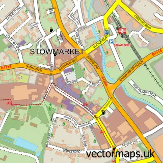
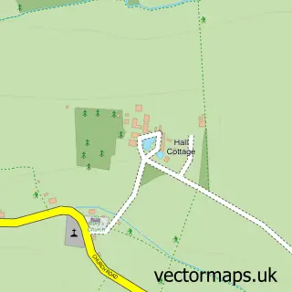
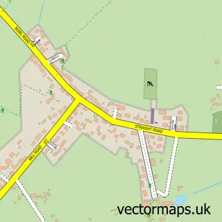
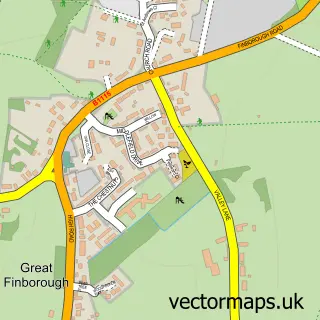
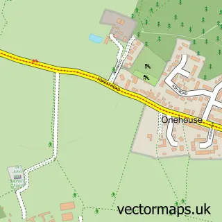
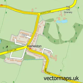
This Combs street map is a detailed vector street map covering a 750m x 750m area. Select a larger area to create and download your own vector street map of Combs.
The 750-metre map sample for Combs covers 96 mapped buildings and approximately 5.6 km of road detail, of which 5 named roads are named. The immediate area includes 2 GP surgeries within 2 miles and 8 MOT stations within 2 miles. To create a larger or custom map of Combs, the map builder lets you define your own coverage area and download editable SVG, PDF and PNG files.
Create a larger editable map of Combs
Choose any area you need and generate a high-quality vector map instantly. Perfect for print, planning, design, business and personal use.

This Combs street map in Suffolk is available as downloadable SVG, PDF and PNG map files, or as a printed map for planning, business, display, education, local information and design work. You can also create a larger custom map area using the map selector.
What this Combs map sample shows
Combs lies within Combs Cp parish, part of Onehouse ward in the Mid Suffolk District local authority area. The postcode geography for this area includes the IP postcode area, the IP14 postcode district and the IP14 2 postcode sector. Residents fall under the Nhs Suffolk And North East Essex Integrated Care Board for NHS services.
Local features near Combs
Within 2 milesAmenities and services in and around Combs.
Administrative and postcode information for Combs
The local authority covering Combs is Mid Suffolk District, within the county of Suffolk. The settlement lies within Onehouse ward and Combs Cp civil parish. The IP14 postcode district and IP14 2 postcode sector serve the immediate area. NHS provision in the area is delivered through West Suffolk Nhs Foundation Trust.
Nearby street map samples around Combs

More street maps in Suffolk
750 metre map area coverage
Boundary, postcode and point of interest information for the 750m x 750m rectangle centred on this sample map.
Boundaries containing map centre
Constituency: Bury St. Edmunds and Stowmarket Co Const
County: Suffolk County
District: Mid Suffolk District
Icb: NHS Essex ICB
Parish: Combs CP
Police Force: suffolk
Postcode District: IP14
Postcode Sector: IP14 2
Ward: Onehouse Ward
Nearby boundaries intersecting sample
Parish: Stowmarket CP
Ward: Combs Ford Ward
Postcode coverage
POI category counts
Appliance Store: 1
Auto Customization: 1
Business: 1
Business Consulting: 1
Business To Business: 1
Carpet Store: 1
Commercial Real Estate: 1
Corporate Office: 1
Flowers And Gifts Shop: 1
Gas Station: 1
Sample points of interest
- Tech-Mate
- Elite Automotive Leather
- Webb & Son Combs
- RDS Asbestos Management Consultants
- Redhut CNC, Laser And Design
- Pure Flooring
- Combs Tannery
- Cushionteam
- The Suffolk Flower Shop
- MFG Esso Stowmarket
- Bishop Consultancy UK Ltd.
- J B Locksmiths
Create a larger editable map of Combs
This sample shows only a 750 metre area. To create a larger map of Combs, use our map builder to choose your own coverage area, add titles and download editable SVG, PDF and PNG files.
Create a custom map of Combs