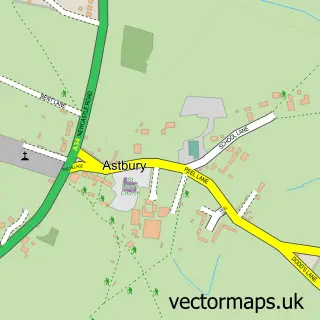
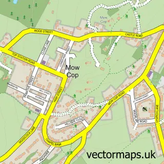
This Congleton street map is a detailed vector street map covering a 750m x 750m area. Select a larger area to create and download your own vector street map of Congleton.
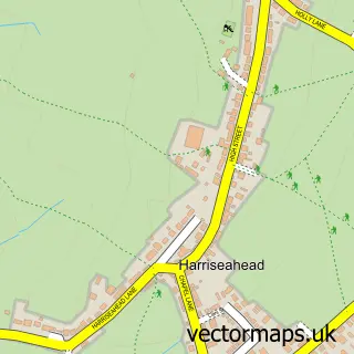
The 750-metre map sample for Congleton covers 329 mapped buildings and approximately 21.6 km of road detail, of which 69 named roads are named. The immediate area includes 1 school, 2 GP surgeries, with 3 within 2 miles, 16 pubs and 4 MOT stations, with 13 within 2 miles. The wider area around Congleton features 9 tourism points of interest, 33 food and drink venues and 1 hotel. To create a larger or custom map of Congleton, the map builder lets you define your own coverage area and download editable SVG, PDF and PNG files.
Create a larger editable map of Congleton
Choose any area you need and generate a high-quality vector map instantly. Perfect for print, planning, design, business and personal use.

This Congleton street map in Cheshire is available as downloadable SVG, PDF and PNG map files, or as a printed map for planning, business, display, education, local information and design work. You can also create a larger custom map area using the map selector.
What this Congleton map sample shows
Congleton lies within Congleton Cp parish, part of Congleton West ward in the Cheshire East (B) local authority area. The postcode geography for this area includes the CW postcode area, the CW12 postcode district and the CW12 1 postcode sector. Residents fall under the Nhs Cheshire And Merseyside Integrated Care Board for NHS services.
Local features near Congleton
Within 2 milesAmenities and services in and around Congleton.
Administrative and postcode information for Congleton
Congleton lies within Congleton Cp parish, part of Congleton West ward in the Cheshire East (B) local authority area. The postcode geography for this area includes the CW postcode area, the CW12 postcode district and the CW12 1 postcode sector. Residents fall under the Nhs Cheshire And Merseyside Integrated Care Board for NHS services.
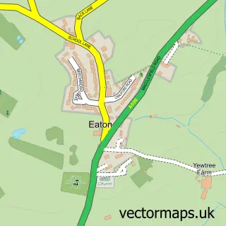
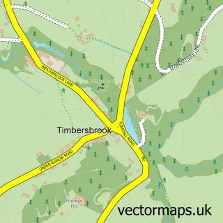
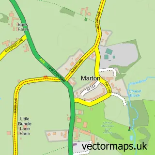
Nearby street map samples around Congleton

More street maps in Cheshire
750 metre map area coverage
Boundary, postcode and point of interest information for the 750m x 750m rectangle centred on this sample map.
Boundaries containing map centre
Constituency: Congleton Co Const
District: Cheshire East (B)
Icb: NHS Cheshire and Merseyside ICB
Parish: Congleton CP
Police Force: cheshire
Postcode District: CW12
Postcode Sector: CW12 1
Ward: Congleton West Ward
Nearby boundaries intersecting sample
Postcode Sector: CW12 3, CW12 4
Ward: Congleton East Ward
Postcode coverage
POI category counts
Hair Salon: 25
Beauty Salon: 23
Professional Services: 22
Pub: 16
Beauty And Spa: 13
Furniture Store: 10
Barber: 9
Real Estate Agent: 9
Retail: 9
Clothing Store: 8
Sample points of interest
- B&R Partners
- Hammond McNulty
- Reach Accounting Solutions
- TaxAssist Accountants
- Energia Vital Acupuncture Clinic & Holistic Healthcare
- Energia Vital Acupuncture Clinic & Holistic Healthcare
- Checkmysystems
- CleverPen Content Limited
- Nerd Studios Design Agency
- Northbank Communications
- Picea Design
- Purple Giraffe Talent Agency
Create a larger editable map of Congleton
This sample shows only a 750 metre area. To create a larger map of Congleton, use our map builder to choose your own coverage area, add titles and download editable SVG, PDF and PNG files.
Create a custom map of Congleton