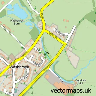
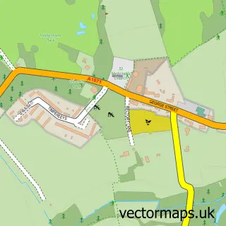
This Copdock street map is a detailed vector street map covering a 750m x 750m area. Select a larger area to create and download your own vector street map of Copdock.
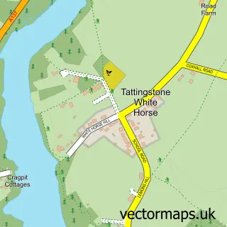
The 750-metre map sample for Copdock covers 87 mapped buildings and approximately 10.8 km of road detail, of which 8 named roads are named. The immediate area includes 3 MOT stations within 2 miles. The wider area around Copdock features 2 tourism points of interest, 5 hotels and 1 campsite within 2 miles. To create a larger or custom map of Copdock, the map builder lets you define your own coverage area and download editable SVG, PDF and PNG files.
Create a larger editable map of Copdock
Choose any area you need and generate a high-quality vector map instantly. Perfect for print, planning, design, business and personal use.

This Copdock street map in Suffolk is available as downloadable SVG, PDF and PNG map files, or as a printed map for planning, business, display, education, local information and design work. You can also create a larger custom map area using the map selector.
What this Copdock map sample shows
Copdock lies within Copdock And Washbrook Cp parish, part of Copdock & Washbrook ward in the Babergh District local authority area. The postcode geography for this area includes the IP postcode area, the IP8 postcode district and the IP8 3 postcode sector. Residents fall under the Nhs Suffolk And North East Essex Integrated Care Board for NHS services.
Local features near Copdock
Within 2 milesAmenities and services in and around Copdock.
Administrative and postcode information for Copdock
Copdock lies within Copdock And Washbrook Cp parish, part of Copdock & Washbrook ward in the Babergh District local authority area. The postcode geography for this area includes the IP postcode area, the IP8 postcode district and the IP8 3 postcode sector. Residents fall under the Nhs Suffolk And North East Essex Integrated Care Board for NHS services.
Nearby street map samples around Copdock
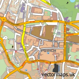

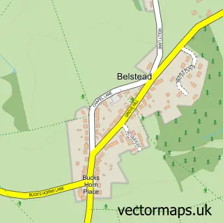
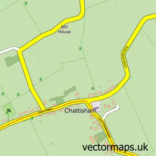
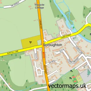
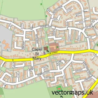
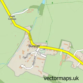
More street maps in Suffolk
750 metre map area coverage
Boundary, postcode and point of interest information for the 750m x 750m rectangle centred on this sample map.
Boundaries containing map centre
Constituency: South Suffolk Co Const
County: Suffolk County
District: Babergh District
Icb: NHS Essex ICB
Parish: Copdock and Washbrook CP
Police Force: suffolk
Postcode District: IP8
Postcode Sector: IP8 3
Ward: Copdock & Washbrook Ward
Nearby boundaries intersecting sample
No additional intersecting boundaries found.
Postcode coverage
POI category counts
Hotel: 5
Cricket Ground: 2
Caterer: 1
Dance Club: 1
Ev Charging Station: 1
Gym: 1
Landmark And Historical Building: 1
Museum: 1
Retirement Home: 1
Spas: 1
Sample points of interest
- Copdock Village Hall
- Copdock & Old Ipswichian Cricket Club
- Old London Road
- Ceroc Copdock and Washbrook
- Ipswich Best Western
- Urban Spa Within Ipswich Hotel
- Best Western Cameo Hotel
- Best Western Ipswich Hotel
- Cameo Hotel Copdock
- Ipswich Finance Co
- Ipswich Hotel
- Washbrook
Create a larger editable map of Copdock
This sample shows only a 750 metre area. To create a larger map of Copdock, use our map builder to choose your own coverage area, add titles and download editable SVG, PDF and PNG files.
Create a custom map of Copdock