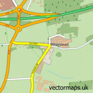
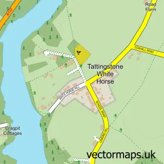
This Belstead street map is a detailed vector street map covering a 750m x 750m area. Select a larger area to create and download your own vector street map of Belstead.
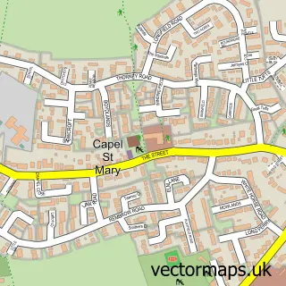
The 750-metre map sample for Belstead covers 103 mapped buildings and approximately 5.0 km of road detail, of which 6 named roads are named. The immediate area includes 1 GP surgery within 2 miles and 2 MOT stations within 2 miles. The wider area around Belstead features 1 food and drink venue and 1 campsite within 2 miles. To create a larger or custom map of Belstead, the map builder lets you define your own coverage area and download editable SVG, PDF and PNG files.
Create a larger editable map of Belstead
Choose any area you need and generate a high-quality vector map instantly. Perfect for print, planning, design, business and personal use.

This Belstead street map in Suffolk is available as downloadable SVG, PDF and PNG map files, or as a printed map for planning, business, display, education, local information and design work. You can also create a larger custom map area using the map selector.
What this Belstead map sample shows
Belstead lies within Belstead Cp parish, part of Orwell ward in the Babergh District local authority area. The postcode geography for this area includes the IP postcode area, the IP8 postcode district and the IP8 3 postcode sector. Residents fall under the Nhs Suffolk And North East Essex Integrated Care Board for NHS services.
Local features near Belstead
Within 2 milesAmenities and services in and around Belstead.
Administrative and postcode information for Belstead
Belstead lies within Belstead Cp parish, part of Orwell ward in the Babergh District local authority area. The postcode geography for this area includes the IP postcode area, the IP8 postcode district and the IP8 3 postcode sector. Residents fall under the Nhs Suffolk And North East Essex Integrated Care Board for NHS services.
Nearby street map samples around Belstead

More street maps in Suffolk
750 metre map area coverage
Boundary, postcode and point of interest information for the 750m x 750m rectangle centred on this sample map.
Boundaries containing map centre
Constituency: South Suffolk Co Const
County: Suffolk County
District: Babergh District
Icb: NHS Essex ICB
Parish: Belstead CP
Police Force: suffolk
Postcode District: IP8
Postcode Sector: IP8 3
Ward: Orwell Ward
Nearby boundaries intersecting sample
Parish: Wherstead CP
Postcode District: IP9
Postcode Sector: IP9 2
Postcode coverage
POI category counts
Music School: 2
Contractor: 1
Hair Salon: 1
Internet Cafe: 1
Restaurant: 1
Sample points of interest
- Suffolk Masonry Services
- Beautiful hair by Gemma
- Zaros Machinery
- Colour of Sound Creative Guitar Tuition
- JWS Guitar Lessons
- Hungry Horse
Create a larger editable map of Belstead
This sample shows only a 750 metre area. To create a larger map of Belstead, use our map builder to choose your own coverage area, add titles and download editable SVG, PDF and PNG files.
Create a custom map of Belstead