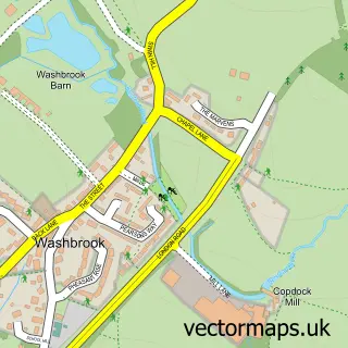
This Wherstead street map is a detailed vector street map covering a 750m x 750m area. Select a larger area to create and download your own vector street map of Wherstead.
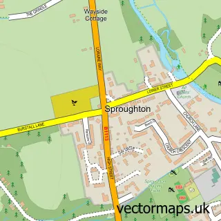
The 750-metre map sample for Wherstead covers 59 mapped buildings and approximately 10.3 km of road detail, of which 2 named roads are named. The immediate area includes 1 GP surgery within 2 miles and 1 MOT station within 2 miles. The wider area around Wherstead features 3 food and drink venues. To create a larger or custom map of Wherstead, the map builder lets you define your own coverage area and download editable SVG, PDF and PNG files.
Create a larger editable map of Wherstead
Choose any area you need and generate a high-quality vector map instantly. Perfect for print, planning, design, business and personal use.

This Wherstead street map in Suffolk is available as downloadable SVG, PDF and PNG map files, or as a printed map for planning, business, display, education, local information and design work. You can also create a larger custom map area using the map selector.
What this Wherstead map sample shows
Wherstead lies within Wherstead Cp parish, part of Orwell ward in the Babergh District local authority area. The postcode geography for this area includes the IP postcode area, the IP9 postcode district and the IP9 2 postcode sector. Residents fall under the Nhs Suffolk And North East Essex Integrated Care Board for NHS services.
Local features near Wherstead
Within 2 milesAmenities and services in and around Wherstead.
Administrative and postcode information for Wherstead
Wherstead lies within Wherstead Cp parish, part of Orwell ward in the Babergh District local authority area. The postcode geography for this area includes the IP postcode area, the IP9 postcode district and the IP9 2 postcode sector. Residents fall under the Nhs Suffolk And North East Essex Integrated Care Board for NHS services.
Nearby street map samples around Wherstead

More street maps in Suffolk
750 metre map area coverage
Boundary, postcode and point of interest information for the 750m x 750m rectangle centred on this sample map.
Boundaries containing map centre
Constituency: South Suffolk Co Const
County: Suffolk County
District: Babergh District
Icb: NHS Essex ICB
Parish: Wherstead CP
Police Force: suffolk
Postcode District: IP9
Postcode Sector: IP9 2
Ward: Orwell Ward
Nearby boundaries intersecting sample
Postcode District: IP2
Postcode Sector: IP2 8
Postcode coverage
POI category counts
Financial Service: 2
Professional Services: 2
Atms: 1
Cafe: 1
Charity Organization: 1
Coffee Shop: 1
Education: 1
Ev Charging Station: 1
Event Planning: 1
Freight And Cargo Service: 1
Sample points of interest
- East of England Co-op WHERSTEAD PARK (CZC), Wherstead
- Sarah's Coffee Shop - Wherstead Park
- Suffolk Community Foundation
- Starbucks
- Allstar Training
- Wherstead (EG)
- Wherstead Park
- Debt Advisory Service
- Trenter Bacon Independent Mortgage Advisors
- P & O Ferrymasters
- Samskip Multimodal Container Logistics Bv
- EG On the Move
Create a larger editable map of Wherstead
This sample shows only a 750 metre area. To create a larger map of Wherstead, use our map builder to choose your own coverage area, add titles and download editable SVG, PDF and PNG files.
Create a custom map of Wherstead