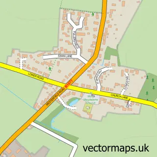
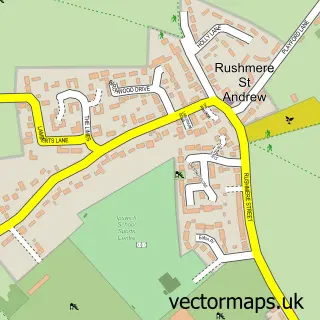
This Ipswich street map is a detailed vector street map covering a 750m x 750m area. Select a larger area to create and download your own vector street map of Ipswich.
The 750-metre map sample for Ipswich covers 200 mapped buildings and approximately 25.2 km of road detail, of which 69 named roads are named. The immediate area includes 11 GP surgeries within 2 miles, 26 pubs and 32 MOT stations within 2 miles. The wider area around Ipswich features 10 tourism points of interest, 83 food and drink venues and 8 hotels. To create a larger or custom map of Ipswich, the map builder lets you define your own coverage area and download editable SVG, PDF and PNG files.
Create a larger editable map of Ipswich
Choose any area you need and generate a high-quality vector map instantly. Perfect for print, planning, design, business and personal use.

This Ipswich street map in Suffolk is available as downloadable SVG, PDF and PNG map files, or as a printed map for planning, business, display, education, local information and design work. You can also create a larger custom map area using the map selector.
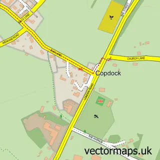
What this Ipswich map sample shows
Ipswich lies within Suffolk County parish, part of St Margaret's ward in the Ipswich District (B) local authority area. The postcode geography for this area includes the IP postcode area, the IP4 postcode district and the IP4 2 postcode sector. Residents fall under the Nhs Suffolk And North East Essex Integrated Care Board for NHS services.
Local features near Ipswich
Within 2 milesAmenities and services in and around Ipswich.
Administrative and postcode information for Ipswich
Ipswich lies within Suffolk County parish, part of St Margaret's ward in the Ipswich District (B) local authority area. The postcode geography for this area includes the IP postcode area, the IP4 postcode district and the IP4 2 postcode sector. Residents fall under the Nhs Suffolk And North East Essex Integrated Care Board for NHS services.
Nearby street map samples around Ipswich

More street maps in Suffolk
750 metre map area coverage
Boundary, postcode and point of interest information for the 750m x 750m rectangle centred on this sample map.
Boundaries containing map centre
Constituency: Ipswich Boro Const
County: Suffolk County
District: Ipswich District (B)
Icb: NHS Essex ICB
Police Force: suffolk
Postcode District: IP1
Postcode Sector: IP1 1
Ward: Alexandra Ward
Nearby boundaries intersecting sample
Postcode District: IP4
Postcode Sector: IP1 2, IP1 3, IP4 1, IP4 2
Ward: Gipping Ward, St. Margaret's Ward, Westgate Ward
Postcode coverage
POI category counts
Clothing Store: 41
Employment Agencies: 36
Professional Services: 34
Real Estate Agent: 33
Hair Salon: 29
Beauty Salon: 26
Coffee Shop: 26
Pub: 26
Bar: 24
Dentist: 20
Sample points of interest
- Ipswich Central
- BDO LLP
- Ensors Chartered Accountants
- Grant Thornton
- Inform Direct
- RSZ Accountancy
- Got to Read
- Pitman Training
- Anthony Morris Design & Marketing
- BC Marketing Ltd
- Chalk & Cheese
- Chalk & Cheese Design
Create a larger editable map of Ipswich
This sample shows only a 750 metre area. To create a larger map of Ipswich, use our map builder to choose your own coverage area, add titles and download editable SVG, PDF and PNG files.
Create a custom map of Ipswich