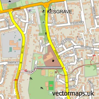
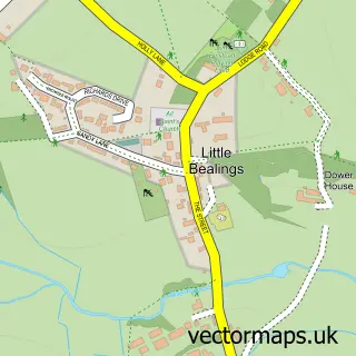
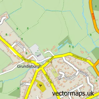
This Rushmere St Andrew street map is a detailed vector street map covering a 750m x 750m area. Select a larger area to create and download your own vector street map of Rushmere St Andrew.
The 750-metre map sample for Rushmere St Andrew covers 238 mapped buildings and approximately 8.3 km of road detail, of which 11 named roads are named. The immediate area includes 4 GP surgeries within 2 miles and 10 MOT stations within 2 miles. To create a larger or custom map of Rushmere St Andrew, the map builder lets you define your own coverage area and download editable SVG, PDF and PNG files.
Create a larger editable map of Rushmere St Andrew
Choose any area you need and generate a high-quality vector map instantly. Perfect for print, planning, design, business and personal use.

This Rushmere St Andrew street map in Suffolk is available as downloadable SVG, PDF and PNG map files, or as a printed map for planning, business, display, education, local information and design work. You can also create a larger custom map area using the map selector.
What this Rushmere St Andrew map sample shows
Rushmere St Andrew lies within Rushmere St. Andrew Cp parish, part of Carlford & Fynn Valley ward in the East Suffolk District local authority area. The postcode geography for this area includes the IP postcode area, the IP5 postcode district and the IP5 1 postcode sector. Residents fall under the Nhs Suffolk And North East Essex Integrated Care Board for NHS services.
Local features near Rushmere St Andrew
Within 2 milesAmenities and services in and around Rushmere St Andrew.
Administrative and postcode information for Rushmere St Andrew
Rushmere St Andrew lies within Rushmere St. Andrew Cp parish, part of Carlford & Fynn Valley ward in the East Suffolk District local authority area. The postcode geography for this area includes the IP postcode area, the IP5 postcode district and the IP5 1 postcode sector. Residents fall under the Nhs Suffolk And North East Essex Integrated Care Board for NHS services.
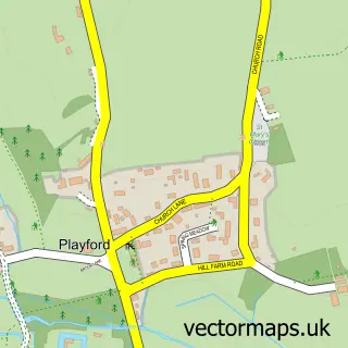
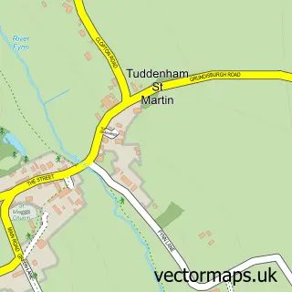
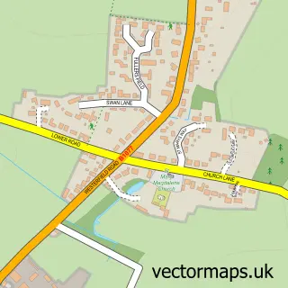
Nearby street map samples around Rushmere St Andrew

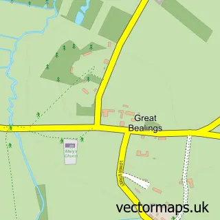
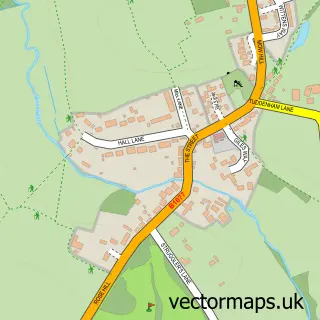
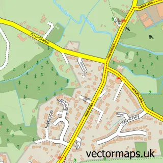
More street maps in Suffolk
750 metre map area coverage
Boundary, postcode and point of interest information for the 750m x 750m rectangle centred on this sample map.
Boundaries containing map centre
Constituency: Central Suffolk and North Ipswich Co Const
County: Suffolk County
District: East Suffolk District
Icb: NHS Essex ICB
Parish: Rushmere St. Andrew CP
Police Force: suffolk
Postcode District: IP5
Postcode Sector: IP5 1
Ward: Carlford & Fynn Valley Ward
Nearby boundaries intersecting sample
Postcode District: IP4
Postcode Sector: IP4 5
Postcode coverage
POI category counts
Sports Club And League: 2
Web Designer: 2
Accountant: 1
Active Life: 1
Art School: 1
Baptist Church: 1
Beauty Salon: 1
Computer Store: 1
Education: 1
Electrician: 1
Sample points of interest
- Ipswich Bookkeeping
- Ipswich YM RUFC
- Ipswich Art Classes
- Rushmere Baptist Church
- Diamond Facial Aesthetics
- Sica Technology
- Resurgam Group
- S N H Electrical
- The Oak Tree Community Farm
- Kaye Souter Flowers
- Digital Dimensions Aerial & Satellite
- Roger Seville Piano & Singing Teacher
Create a larger editable map of Rushmere St Andrew
This sample shows only a 750 metre area. To create a larger map of Rushmere St Andrew, use our map builder to choose your own coverage area, add titles and download editable SVG, PDF and PNG files.
Create a custom map of Rushmere St Andrew