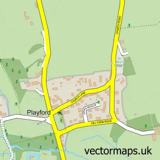
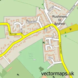
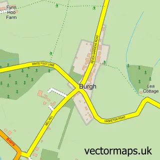
This Little Bealings street map is a detailed vector street map covering a 750m x 750m area. Select a larger area to create and download your own vector street map of Little Bealings.
The 750-metre map sample for Little Bealings covers 119 mapped buildings and approximately 5.9 km of road detail, of which 7 named roads are named. The immediate area includes 1 school, 2 GP surgeries within 2 miles and 5 MOT stations within 2 miles. The wider area around Little Bealings features 1 campsite within 2 miles. To create a larger or custom map of Little Bealings, the map builder lets you define your own coverage area and download editable SVG, PDF and PNG files.
Create a larger editable map of Little Bealings
Choose any area you need and generate a high-quality vector map instantly. Perfect for print, planning, design, business and personal use.

This Little Bealings street map in Suffolk is available as downloadable SVG, PDF and PNG map files, or as a printed map for planning, business, display, education, local information and design work. You can also create a larger custom map area using the map selector.
What this Little Bealings map sample shows
Little Bealings lies within Little Bealings Cp parish, part of Carlford & Fynn Valley ward in the East Suffolk District local authority area. The postcode geography for this area includes the IP postcode area, the IP13 postcode district and the IP13 6 postcode sector. Residents fall under the Nhs Suffolk And North East Essex Integrated Care Board for NHS services.
Local features near Little Bealings
Within 2 milesAmenities and services in and around Little Bealings.
Administrative and postcode information for Little Bealings
Little Bealings lies within Little Bealings Cp parish, part of Carlford & Fynn Valley ward in the East Suffolk District local authority area. The postcode geography for this area includes the IP postcode area, the IP13 postcode district and the IP13 6 postcode sector. Residents fall under the Nhs Suffolk And North East Essex Integrated Care Board for NHS services.
Nearby street map samples around Little Bealings

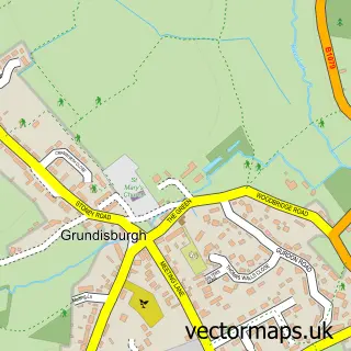
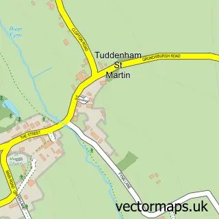
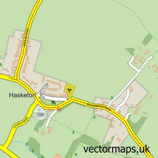
More street maps in Suffolk
750 metre map area coverage
Boundary, postcode and point of interest information for the 750m x 750m rectangle centred on this sample map.
Boundaries containing map centre
Constituency: Central Suffolk and North Ipswich Co Const
County: Suffolk County
District: East Suffolk District
Icb: NHS Essex ICB
Parish: Little Bealings CP
Police Force: suffolk
Postcode District: IP13
Postcode Sector: IP13 6
Ward: Carlford & Fynn Valley Ward
Nearby boundaries intersecting sample
No additional intersecting boundaries found.
Postcode coverage
POI category counts
Building Supply Store: 2
Community Center: 2
Advertising Agency: 1
Anglican Church: 1
Business Manufacturing And Supply: 1
Church Cathedral: 1
Clothing Store: 1
Employment Agencies: 1
Furniture Manufacturers: 1
Mortgage Broker: 1
Sample points of interest
- Virtue Design
- Lt. Bealings, All Saints
- Alpha Fumigation Services
- Buhr
- Lindos Electronics
- All Saints Church
- Doves Clothing Co
- Angela Cobbold Hall
- Bealings Village Hall
- SRS Recruitment
- French Maison - Holiday Rentals In France
- Matthew Stock Mortgage Solutions
Create a larger editable map of Little Bealings
This sample shows only a 750 metre area. To create a larger map of Little Bealings, use our map builder to choose your own coverage area, add titles and download editable SVG, PDF and PNG files.
Create a custom map of Little Bealings