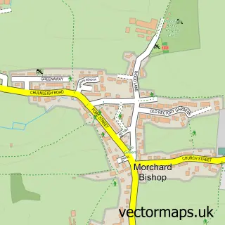
This Copplestone street map is a detailed vector street map covering a 750m x 750m area. Select a larger area to create and download your own vector street map of Copplestone.
The 750-metre map sample for Copplestone covers 234 mapped buildings and approximately 17.7 km of road detail, of which 15 named roads are named. The immediate area includes 1 school and 1 MOT station within 2 miles. The wider area around Copplestone features 1 food and drink venue. To create a larger or custom map of Copplestone, the map builder lets you define your own coverage area and download editable SVG, PDF and PNG files.
Create a larger editable map of Copplestone
Choose any area you need and generate a high-quality vector map instantly. Perfect for print, planning, design, business and personal use.

This Copplestone street map in Devon is available as downloadable SVG, PDF and PNG map files, or as a printed map for planning, business, display, education, local information and design work. You can also create a larger custom map area using the map selector.
What this Copplestone map sample shows
Copplestone lies within Copplestone Cp parish, part of Yeo ward in the Mid Devon District local authority area. The postcode geography for this area includes the EX postcode area, the EX17 postcode district and the EX17 5 postcode sector. Residents fall under the Nhs Devon Integrated Care Board for NHS services.
Local features near Copplestone
Within 2 milesAmenities and services in and around Copplestone.
Administrative and postcode information for Copplestone
Copplestone lies within Copplestone Cp parish, part of Yeo ward in the Mid Devon District local authority area. The postcode geography for this area includes the EX postcode area, the EX17 postcode district and the EX17 5 postcode sector. Residents fall under the Nhs Devon Integrated Care Board for NHS services.
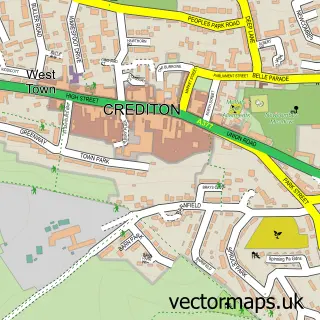
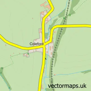
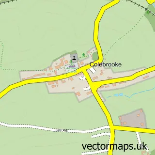
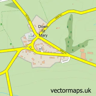
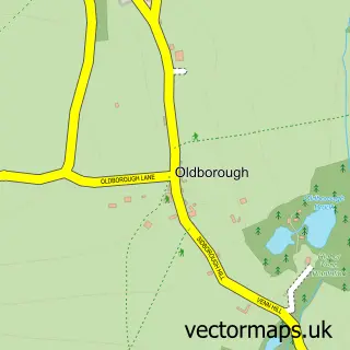
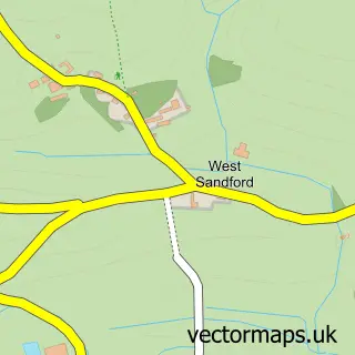
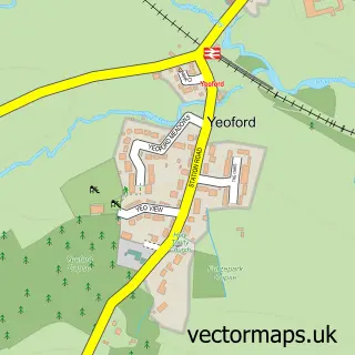
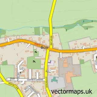
Nearby street map samples around Copplestone

More street maps in Devon
750 metre map area coverage
Boundary, postcode and point of interest information for the 750m x 750m rectangle centred on this sample map.
Boundaries containing map centre
Constituency: Central Devon Co Const
County: Devon County
District: Mid Devon District
Icb: NHS Devon ICB
Parish: Copplestone CP
Police Force: devon and cornwall
Postcode District: EX17
Postcode Sector: EX17 5
Ward: Upper Yeo & Taw Ward
Nearby boundaries intersecting sample
No additional intersecting boundaries found.
Postcode coverage
POI category counts
Convenience Store: 2
Driving School: 2
Agricultural Service: 1
Audio Visual Equipment Store: 1
Auto Manufacturers And Distributors: 1
Bakery: 1
Beauty Salon: 1
Bicycle Shop: 1
Building Supply Store: 1
Church Cathedral: 1
Sample points of interest
- K J Stoneman and Co
- Prosound Solutions SW
- Polaris
- Twinkle Little Tarr
- Caravan Man
- Velobrands
- The Old Mill Restorations
- Copplestone Methodist Church
- Costa Express
- Central Convenience, Copplestone (Crediton)
- Central Stores
- LEAD Approach
Create a larger editable map of Copplestone
This sample shows only a 750 metre area. To create a larger map of Copplestone, use our map builder to choose your own coverage area, add titles and download editable SVG, PDF and PNG files.
Create a custom map of Copplestone