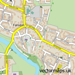
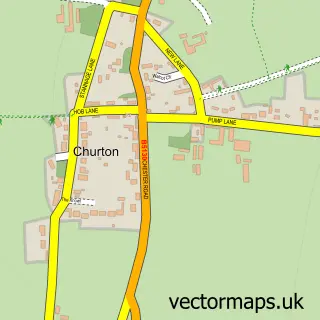
This Crewe by Farndon street map is a detailed vector street map covering a 750m x 750m area. Select a larger area to create and download your own vector street map of Crewe by Farndon.
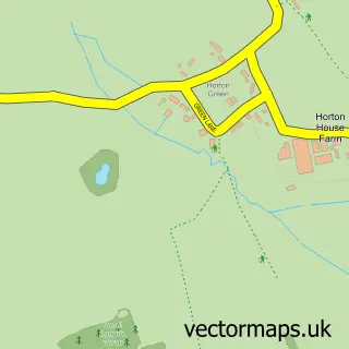
The 750-metre map sample for Crewe by Farndon covers 38 mapped buildings and approximately 12.7 km of road detail, of which 3 named roads are named. The immediate area includes 1 MOT station within 2 miles. The wider area around Crewe by Farndon features 1 tourism point of interest. To create a larger or custom map of Crewe by Farndon, the map builder lets you define your own coverage area and download editable SVG, PDF and PNG files.
Create a larger editable map of Crewe by Farndon
Choose any area you need and generate a high-quality vector map instantly. Perfect for print, planning, design, business and personal use.

This Crewe by Farndon street map in Cheshire is available as downloadable SVG, PDF and PNG map files, or as a printed map for planning, business, display, education, local information and design work. You can also create a larger custom map area using the map selector.
What this Crewe by Farndon map sample shows
Crewe by Farndon lies within Farndon Cp parish, part of Farndon ward in the Cheshire West And Chester (B) local authority area. The postcode geography for this area includes the CH postcode area, the CH3 postcode district and the CH3 6 postcode sector. Residents fall under the Nhs Cheshire And Merseyside Integrated Care Board for NHS services.
Local features near Crewe by Farndon
Within 2 milesAmenities and services in and around Crewe by Farndon.
Administrative and postcode information for Crewe by Farndon
Crewe by Farndon lies within Farndon Cp parish, part of Farndon ward in the Cheshire West And Chester (B) local authority area. The postcode geography for this area includes the CH postcode area, the CH3 postcode district and the CH3 6 postcode sector. Residents fall under the Nhs Cheshire And Merseyside Integrated Care Board for NHS services.
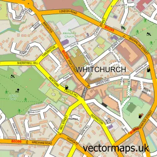
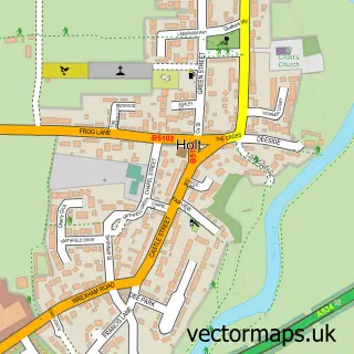
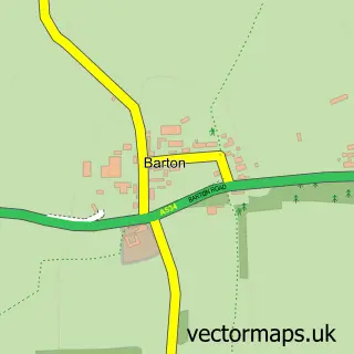
Nearby street map samples around Crewe by Farndon

More street maps in Cheshire
750 metre map area coverage
Boundary, postcode and point of interest information for the 750m x 750m rectangle centred on this sample map.
Boundaries containing map centre
Constituency: Chester South and Eddisbury Co Const
District: Cheshire West and Chester (B)
Icb: NHS Cheshire and Merseyside ICB
Parish: Farndon CP
Police Force: cheshire
Postcode District: CH3
Postcode Sector: CH3 6
Ward: Farndon Ward
Nearby boundaries intersecting sample
No additional intersecting boundaries found.
Postcode coverage
POI category counts
Advertising Agency: 1
Business Management Services: 1
Driving School: 1
Landmark And Historical Building: 1
Medical Center: 1
Sample points of interest
- Stretton Studios Photography
- Jojo Bradley Interior Design
- StreetSmart Driving Lessons
- Crewe by Farndon
- Medtechtomarket Consulting
Create a larger editable map of Crewe by Farndon
This sample shows only a 750 metre area. To create a larger map of Crewe by Farndon, use our map builder to choose your own coverage area, add titles and download editable SVG, PDF and PNG files.
Create a custom map of Crewe by Farndon