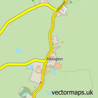
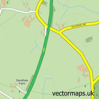
This Whitchurch street map is a detailed vector street map covering a 750m x 750m area. Select a larger area to create and download your own vector street map of Whitchurch.
The 750-metre map sample for Whitchurch covers 408 mapped buildings and approximately 20.5 km of road detail, of which 55 named roads are named. The immediate area includes 1 school, 12 pubs and 1 MOT station, with 6 within 2 miles. The wider area around Whitchurch features 2 tourism points of interest, 24 food and drink venues and 3 hotels. To create a larger or custom map of Whitchurch, the map builder lets you define your own coverage area and download editable SVG, PDF and PNG files.
Create a larger editable map of Whitchurch
Choose any area you need and generate a high-quality vector map instantly. Perfect for print, planning, design, business and personal use.

This Whitchurch street map in Shropshire is available as downloadable SVG, PDF and PNG map files, or as a printed map for planning, business, display, education, local information and design work. You can also create a larger custom map area using the map selector.
What this Whitchurch map sample shows
Whitchurch lies within Whitchurch Urban Cp parish, part of Whitchurch North ward in the Shropshire local authority area. The postcode geography for this area includes the SY postcode area, the SY13 postcode district and the SY13 1 postcode sector. Residents fall under the Nhs Shropshire, Telford And Wrekin Integrated Care Board for NHS services.
Local features near Whitchurch
Within 2 milesAmenities and services in and around Whitchurch.
Administrative and postcode information for Whitchurch
The local authority covering Whitchurch is Shropshire, within the county of Shropshire. The settlement lies within Whitchurch North ward and Whitchurch Urban Cp civil parish. The SY13 postcode district and SY13 1 postcode sector serve the immediate area. NHS provision in the area is delivered through The Shrewsbury And Telford Hospital Nhs Trust.
Nearby street map samples around Whitchurch

More street maps in Shropshire
750 metre map area coverage
Boundary, postcode and point of interest information for the 750m x 750m rectangle centred on this sample map.
Boundaries containing map centre
Constituency: North Shropshire Co Const
District: Shropshire
Icb: NHS Shropshire Telford and Wrekin ICB
Parish: Whitchurch Urban CP
Police Force: west mercia
Postcode District: SY13
Postcode Sector: SY13 1
Nearby boundaries intersecting sample
No additional intersecting boundaries found.
Postcode coverage
POI category counts
Pub: 12
Beauty Salon: 11
Professional Services: 10
Clothing Store: 7
Banks: 6
Retail: 6
Arts And Crafts: 5
Cafe: 5
Coffee Shop: 5
Nail Salon: 5
Sample points of interest
- Liz Castle Acupuncturist
- Liz Castle MBAcC Acupuncturist
- Healing Thyme
- Nurse 365 Limited
- Osteopathic Health
- St Alkmund's Church, Whitchurch, Shropshire
- Age Of Elegance
- Antique Restorations
- Raven Yard Antiques
- Whitchurch Antiques Emporium
- Barlows Electrical
- B Rogers
Create a larger editable map of Whitchurch
This sample shows only a 750 metre area. To create a larger map of Whitchurch, use our map builder to choose your own coverage area, add titles and download editable SVG, PDF and PNG files.
Create a custom map of Whitchurch