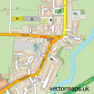
This Farndon street map is a detailed vector street map covering a 750m x 750m area. Select a larger area to create and download your own vector street map of Farndon.
The 750-metre map sample for Farndon covers 463 mapped buildings and approximately 15.3 km of road detail, of which 36 named roads are named. The immediate area includes 1 school, 6 pubs and 1 MOT station within 2 miles. The wider area around Farndon features 1 tourism point of interest, 8 food and drink venues and 1 hotel. To create a larger or custom map of Farndon, the map builder lets you define your own coverage area and download editable SVG, PDF and PNG files.
Create a larger editable map of Farndon
Choose any area you need and generate a high-quality vector map instantly. Perfect for print, planning, design, business and personal use.

This Farndon street map in Cheshire is available as downloadable SVG, PDF and PNG map files, or as a printed map for planning, business, display, education, local information and design work. You can also create a larger custom map area using the map selector.
What this Farndon map sample shows
Farndon lies within Farndon Cp parish, part of Farndon ward in the Cheshire West And Chester (B) local authority area. The postcode geography for this area includes the CH postcode area, the CH3 postcode district and the CH3 6 postcode sector. Residents fall under the Nhs Cheshire And Merseyside Integrated Care Board for NHS services.
Local features near Farndon
Within 2 milesAmenities and services in and around Farndon.
Administrative and postcode information for Farndon
The local authority covering Farndon is Cheshire West And Chester (B), within the county of Cheshire. The settlement lies within Farndon ward and Farndon Cp civil parish. The CH3 postcode district and CH3 6 postcode sector serve the immediate area. NHS provision in the area is delivered through Countess Of Chester Hospital Nhs Foundation Trust.
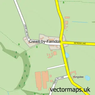
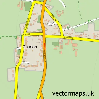
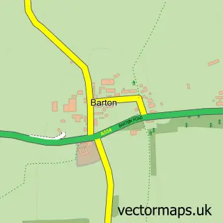
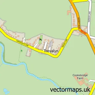
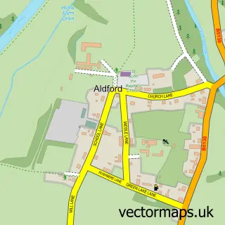
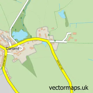
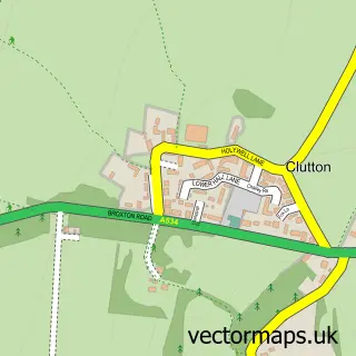
Nearby street map samples around Farndon


More street maps in Cheshire
750 metre map area coverage
Boundary, postcode and point of interest information for the 750m x 750m rectangle centred on this sample map.
Boundaries containing map centre
Constituency: Chester South and Eddisbury Co Const
District: Cheshire West and Chester (B)
Icb: NHS Cheshire and Merseyside ICB
Parish: Farndon CP
Police Force: cheshire
Postcode District: CH3
Postcode Sector: CH3 6
Ward: Farndon Ward
Nearby boundaries intersecting sample
Constituency: Wrexham Co Const
District: Wrecsam - Wrexham
Icb: Betsi Cadwaladr University
Parish: Holt Community
Police Force: north wales
Postcode District: LL13
Postcode Sector: LL13 9
Postcode coverage
POI category counts
Pub: 6
Professional Services: 4
Beauty Salon: 3
Church Cathedral: 3
Clothing Store: 2
Doctor: 2
Flowers And Gifts Shop: 2
Hair Salon: 2
It Service And Computer Repair: 2
Accountant: 1
Sample points of interest
- LTO Accountancy Limited
- St Chad
- Drake Communications
- Botany House
- Valet-Man
- Upstairs at The Raven
- Max Stenning's Barber Lounge
- Clarity Hair & beauty
- The Beauty Studio
- Charlene Baker Permanent Makeup and Aesthetics
- The Beauty Studio
- Upstairs At The Mill Beauty
Create a larger editable map of Farndon
This sample shows only a 750 metre area. To create a larger map of Farndon, use our map builder to choose your own coverage area, add titles and download editable SVG, PDF and PNG files.
Create a custom map of Farndon