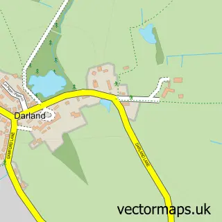
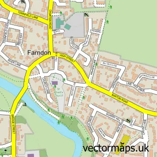
This Aldford street map is a detailed vector street map covering a 750m x 750m area. Select a larger area to create and download your own vector street map of Aldford.
The 750-metre map sample for Aldford covers 90 mapped buildings and approximately 6.9 km of road detail, of which 6 named roads are named. The immediate area includes 1 pub. The wider area around Aldford features 2 tourism points of interest and 1 food and drink venue. To create a larger or custom map of Aldford, the map builder lets you define your own coverage area and download editable SVG, PDF and PNG files.
Create a larger editable map of Aldford
Choose any area you need and generate a high-quality vector map instantly. Perfect for print, planning, design, business and personal use.

This Aldford street map in Cheshire is available as downloadable SVG, PDF and PNG map files, or as a printed map for planning, business, display, education, local information and design work. You can also create a larger custom map area using the map selector.
What this Aldford map sample shows
Aldford lies within Aldford And Saighton Cp parish, part of Farndon ward in the Cheshire West And Chester (B) local authority area. The postcode geography for this area includes the CH postcode area, the CH3 postcode district and the CH3 6 postcode sector. Residents fall under the Nhs Cheshire And Merseyside Integrated Care Board for NHS services.
Local features near Aldford
Within 2 milesAmenities and services in and around Aldford.
Administrative and postcode information for Aldford
Aldford lies within Aldford And Saighton Cp parish, part of Farndon ward in the Cheshire West And Chester (B) local authority area. The postcode geography for this area includes the CH postcode area, the CH3 postcode district and the CH3 6 postcode sector. Residents fall under the Nhs Cheshire And Merseyside Integrated Care Board for NHS services.
Nearby street map samples around Aldford

More street maps in Cheshire
750 metre map area coverage
Boundary, postcode and point of interest information for the 750m x 750m rectangle centred on this sample map.
Boundaries containing map centre
Constituency: Chester South and Eddisbury Co Const
District: Cheshire West and Chester (B)
Icb: NHS Cheshire and Merseyside ICB
Parish: Aldford and Saighton CP
Police Force: cheshire
Postcode District: CH3
Postcode Sector: CH3 6
Ward: Farndon Ward
Nearby boundaries intersecting sample
Parish: Poulton and Pulford CP
Postcode District: CH4
Postcode Sector: CH4 9
Ward: Christleton & Huntington Ward
Postcode coverage
POI category counts
Anglican Church: 2
Employment Law: 2
Hair Salon: 2
Advertising Agency: 1
Automotive Repair: 1
Beauty Salon: 1
Building Supply Store: 1
Castle: 1
Construction Services: 1
Contractor: 1
Sample points of interest
- Lumisi
- St John the Baptist
- St John the Baptist Church
- Keith Davis & Son
- Camilla Rose
- Aldford Aluminium Products
- Aldford Castle (Motte & Bailey Castle)
- CERES Construction Group
- Cheshire Paving Company
- Ellis Whittam Ltd.
- WorkNest
- Lily's Coffee Shop
Create a larger editable map of Aldford
This sample shows only a 750 metre area. To create a larger map of Aldford, use our map builder to choose your own coverage area, add titles and download editable SVG, PDF and PNG files.
Create a custom map of Aldford