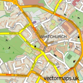
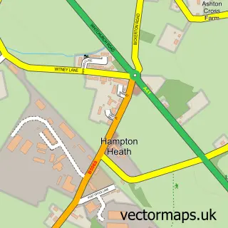
This Tilston street map is a detailed vector street map covering a 750m x 750m area. Select a larger area to create and download your own vector street map of Tilston.
The 750-metre map sample for Tilston covers 190 mapped buildings and approximately 10.0 km of road detail, of which 7 named roads are named. The immediate area includes 1 school and 2 pubs. The wider area around Tilston features 2 food and drink venues and 1 hotel. To create a larger or custom map of Tilston, the map builder lets you define your own coverage area and download editable SVG, PDF and PNG files.
Create a larger editable map of Tilston
Choose any area you need and generate a high-quality vector map instantly. Perfect for print, planning, design, business and personal use.

This Tilston street map in Cheshire is available as downloadable SVG, PDF and PNG map files, or as a printed map for planning, business, display, education, local information and design work. You can also create a larger custom map area using the map selector.
What this Tilston map sample shows
Tilston lies within Tilston Cp parish, part of Farndon ward in the Cheshire West And Chester (B) local authority area. The postcode geography for this area includes the SY postcode area, the SY14 postcode district and the SY14 7 postcode sector. Residents fall under the Nhs Cheshire And Merseyside Integrated Care Board for NHS services.
Local features near Tilston
Within 2 milesAmenities and services in and around Tilston.
Administrative and postcode information for Tilston
The local authority covering Tilston is Cheshire West And Chester (B), within the county of Cheshire. The settlement lies within Farndon ward and Tilston Cp civil parish. The SY14 postcode district and SY14 7 postcode sector serve the immediate area. NHS provision in the area is delivered through Countess Of Chester Hospital Nhs Foundation Trust.
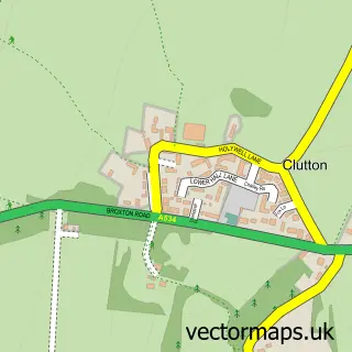
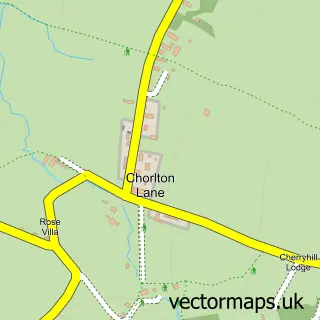
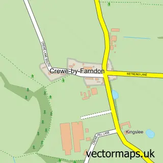
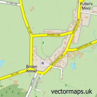
Nearby street map samples around Tilston

More street maps in Cheshire
750 metre map area coverage
Boundary, postcode and point of interest information for the 750m x 750m rectangle centred on this sample map.
Boundaries containing map centre
Constituency: Chester South and Eddisbury Co Const
District: Cheshire West and Chester (B)
Icb: NHS Cheshire and Merseyside ICB
Parish: Tilston CP
Police Force: cheshire
Postcode District: SY14
Postcode Sector: SY14 7
Ward: Farndon Ward
Nearby boundaries intersecting sample
No additional intersecting boundaries found.
Postcode coverage
POI category counts
Bar: 2
Building Contractor: 2
Courier And Delivery Services: 2
Elementary School: 2
Post Office: 2
Pub: 2
Contractor: 1
Convenience Store: 1
Corporate Entertainment Services: 1
Dog Walkers: 1
Sample points of interest
- The Fox & Hounds Inn
- Woodward & Barlow Management , T/A the Carden Arms
- Cheshire Oak Structures
- Cheshire Oak Structures Ltd.
- Quarry Plant Surfacing
- Tilston Village Shop
- Kor Events
- Evri ParcelShop
- Evri ParcelShop
- Pooka's Pooch Trails
- Tilston Parochial C of E Primary School
- Tilston Parochial C of E Primary School
Create a larger editable map of Tilston
This sample shows only a 750 metre area. To create a larger map of Tilston, use our map builder to choose your own coverage area, add titles and download editable SVG, PDF and PNG files.
Create a custom map of Tilston