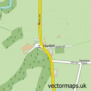
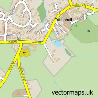
This Brown Knowl street map is a detailed vector street map covering a 750m x 750m area. Select a larger area to create and download your own vector street map of Brown Knowl.
The 750-metre map sample for Brown Knowl covers 115 mapped buildings and approximately 10.1 km of road detail, of which 10 named roads are named. The wider area around Brown Knowl features 1 tourism point of interest and 1 campsite within 2 miles. To create a larger or custom map of Brown Knowl, the map builder lets you define your own coverage area and download editable SVG, PDF and PNG files.
Create a larger editable map of Brown Knowl
Choose any area you need and generate a high-quality vector map instantly. Perfect for print, planning, design, business and personal use.

This Brown Knowl street map in Cheshire is available as downloadable SVG, PDF and PNG map files, or as a printed map for planning, business, display, education, local information and design work. You can also create a larger custom map area using the map selector.
What this Brown Knowl map sample shows
Brown Knowl lies within Harthill Cp parish, part of Tattenhall ward in the Cheshire West And Chester (B) local authority area. The postcode geography for this area includes the CH postcode area, the CH3 postcode district and the CH3 9 postcode sector. Residents fall under the Nhs Cheshire And Merseyside Integrated Care Board for NHS services.
Local features near Brown Knowl
Within 2 milesAmenities and services in and around Brown Knowl.
Administrative and postcode information for Brown Knowl
Brown Knowl lies within Harthill Cp parish, part of Tattenhall ward in the Cheshire West And Chester (B) local authority area. The postcode geography for this area includes the CH postcode area, the CH3 postcode district and the CH3 9 postcode sector. Residents fall under the Nhs Cheshire And Merseyside Integrated Care Board for NHS services.
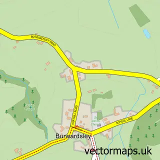
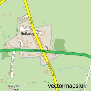
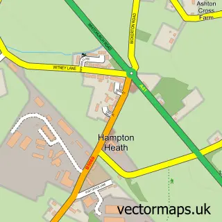
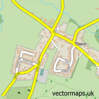
Nearby street map samples around Brown Knowl
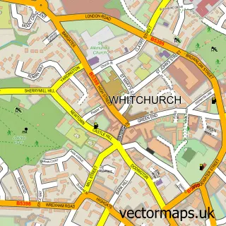

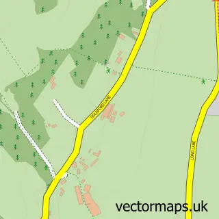
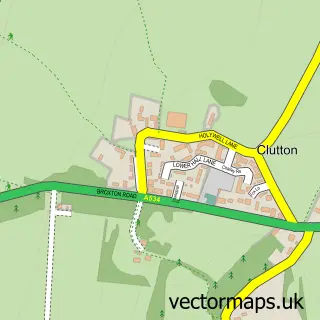
More street maps in Cheshire
750 metre map area coverage
Boundary, postcode and point of interest information for the 750m x 750m rectangle centred on this sample map.
Boundaries containing map centre
Constituency: Chester South and Eddisbury Co Const
District: Cheshire West and Chester (B)
Icb: NHS Cheshire and Merseyside ICB
Parish: Broxton CP
Police Force: cheshire
Postcode District: CH3
Postcode Sector: CH3 9
Ward: Tattenhall Ward
Nearby boundaries intersecting sample
District: Cheshire East (B)
Parish: Bickerton CP
Postcode District: SY14
Postcode Sector: SY14 8
Ward: Wrenbury Ward
Postcode coverage
POI category counts
Church Cathedral: 1
Holiday Rental Home: 1
Landmark And Historical Building: 1
Lodge: 1
Professional Services: 1
Sample points of interest
- Brown Knowl Methodist Church
- Sandstone Trail Cottages
- Brown Knowl Village
- Kitty's View Country Lodges
- Nick Hastings Photography
Create a larger editable map of Brown Knowl
This sample shows only a 750 metre area. To create a larger map of Brown Knowl, use our map builder to choose your own coverage area, add titles and download editable SVG, PDF and PNG files.
Create a custom map of Brown Knowl