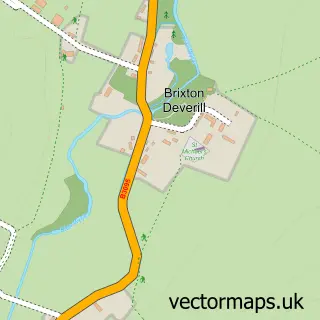
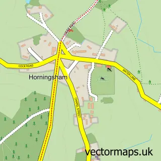
This Crockerton street map is a detailed vector street map covering a 750m x 750m area. Select a larger area to create and download your own vector street map of Crockerton.
The 750-metre map sample for Crockerton covers 158 mapped buildings and approximately 12.6 km of road detail, of which 8 named roads are named. The immediate area includes 1 school, 1 GP surgery within 2 miles, 1 pub and 2 MOT stations within 2 miles. The wider area around Crockerton features 1 food and drink venue and 2 campsites within 2 miles. To create a larger or custom map of Crockerton, the map builder lets you define your own coverage area and download editable SVG, PDF and PNG files.
Create a larger editable map of Crockerton
Choose any area you need and generate a high-quality vector map instantly. Perfect for print, planning, design, business and personal use.

This Crockerton street map in Wiltshire is available as downloadable SVG, PDF and PNG map files, or as a printed map for planning, business, display, education, local information and design work. You can also create a larger custom map area using the map selector.
What this Crockerton map sample shows
Crockerton lies within Longbridge Deverill Cp parish, part of Warminster Without ward in the Wiltshire local authority area. The postcode geography for this area includes the BA postcode area, the BA12 postcode district and the BA12 8 postcode sector. Residents fall under the Nhs Bath And North East Somerset, Swindon And Wiltshire Integrated Care Board for NHS services.
Local features near Crockerton
Within 2 milesAmenities and services in and around Crockerton.
Administrative and postcode information for Crockerton
The local authority covering Crockerton is Wiltshire, within the county of Wiltshire. The settlement lies within Warminster Without ward and Longbridge Deverill Cp civil parish. The BA12 postcode district and BA12 8 postcode sector serve the immediate area. NHS provision in the area is delivered through Salisbury Nhs Foundation Trust.
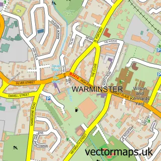
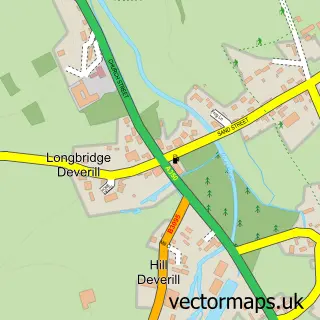
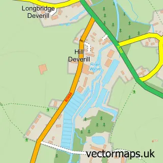
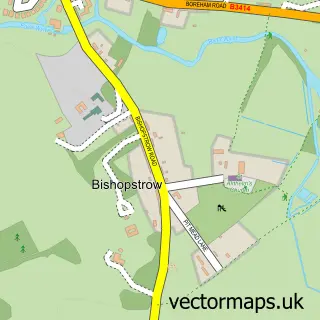
Nearby street map samples around Crockerton

More street maps in Wiltshire
750 metre map area coverage
Boundary, postcode and point of interest information for the 750m x 750m rectangle centred on this sample map.
Boundaries containing map centre
Constituency: South West Wiltshire Co Const
District: Wiltshire
Icb: NHS Bath and North East Somerset Swindon and Wiltshire ICB
Parish: Longbridge Deverill CP
Police Force: wiltshire
Postcode District: BA12
Postcode Sector: BA12 8
Nearby boundaries intersecting sample
No additional intersecting boundaries found.
Postcode coverage
POI category counts
Advertising Agency: 3
Elementary School: 2
Arts And Entertainment: 1
Business: 1
Carpet Store: 1
Driving School: 1
Education: 1
Gym: 1
Pub: 1
Web Designer: 1
Sample points of interest
- Fox Design Consultants
- Fox Design Consultants
- Withey Design
- Crockerton
- Will Baxter
- Rolls and Remnants
- Mike Palmer Driving School
- Joanna Gutmann
- Crockerton C Of E School
- Crockerton C of E School
- Cycle Hub
- The Bath Arms Shearwater
Create a larger editable map of Crockerton
This sample shows only a 750 metre area. To create a larger map of Crockerton, use our map builder to choose your own coverage area, add titles and download editable SVG, PDF and PNG files.
Create a custom map of Crockerton