Vector Maps logo
Home Why it works Popular maps Districts Samples Customizer Create Your Map
VectorMaps.uk
Home Popular maps Districts Samples Customizer Create Your Map Privacy Disclaimer
Home / UK Maps / Wiltshire / Monkton Deverill Map

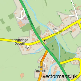
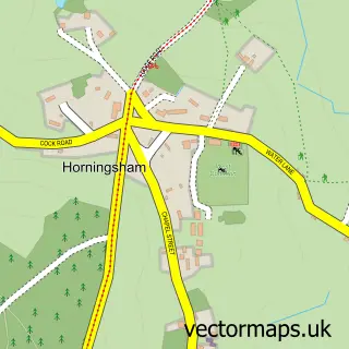
This Monkton Deverill street map is a detailed vector street map covering a 750m x 750m area. Select a larger area to create and download your own vector street map of Monkton Deverill.

Monkton Deverill is a village in Wiltshire, in the South West of England. The settlement falls within the South West Wiltshire parliamentary constituency. It is served by the BA12 postcode district, with BA12 7 as the local postcode sector.

The 750-metre map sample for Monkton Deverill covers 60 mapped buildings and approximately 5.6 km of road detail, of which 1 named road are named. To create a larger or custom map of Monkton Deverill, the map builder lets you define your own coverage area and download editable SVG, PDF and PNG files.

60Buildings
5.58 kmRoads
1Named roads
165Residents within 2 miles
Create your own

Create a larger editable map of Monkton Deverill

Choose any area you need and generate a high-quality vector map instantly. Perfect for print, planning, design, business and personal use.

Choose any location
Editable SVG files
Any size up to A0
PDF, PNG & more
Instant download
High quality guaranteed
Create My Custom Map
Secure, private & no credit card required
Monkton Deverill Vector Street Map
750m Sample
Monkton Deverill vector street map sample showing roads, buildings and local features in a 750 metre preview area
Buy Monkton Deverill Map Print from £12.95 Buy Monkton Deverill Digital Map from £6

This Monkton Deverill street map in Wiltshire is available as downloadable SVG, PDF and PNG map files, or as a printed map for planning, business, display, education, local information and design work. You can also create a larger custom map area using the map selector.

What this Monkton Deverill map sample shows

Monkton Deverill lies within Kingston Deverill Cp parish, part of Warminster Without ward in the Wiltshire local authority area. The postcode geography for this area includes the BA postcode area, the BA12 postcode district and the BA12 7 postcode sector. Residents fall under the Nhs Bath And North East Somerset, Swindon And Wiltshire Integrated Care Board for NHS services.

Administrative and postcode information for Monkton Deverill

Monkton Deverill lies within Kingston Deverill Cp parish, part of Warminster Without ward in the Wiltshire local authority area. The postcode geography for this area includes the BA postcode area, the BA12 postcode district and the BA12 7 postcode sector. Residents fall under the Nhs Bath And North East Somerset, Swindon And Wiltshire Integrated Care Board for NHS services.

Parish Kingston Deverill CP
Ward Warminster Without
District / local authority Wiltshire
County Wiltshire
Historic county Wiltshire
Postcode district BA12
Postcode sector BA12 7
Parliamentary constituency South West Wiltshire
Region South West
Country England

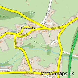
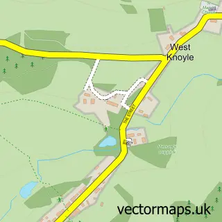
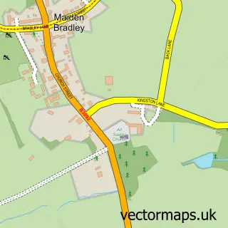
Nearby street map samples around Monkton Deverill

Street map sample of Mere, Wiltshire Mere Town - Wiltshire - 4.2 miles Street map sample of Bath, Somerset Bath City - Somerset - 18.1 miles Street map sample of Kingston Deverill, Wiltshire Kingston Deverill Village - Wiltshire - 0.5 miles Street map sample of Brixton Deverill, Wiltshire Brixton Deverill Village - Wiltshire - 0.8 miles Street map sample of Hill Deverill, Wiltshire Hill Deverill Village - Wiltshire - 2.0 miles Street map sample of Longbridge Deverill, Wiltshire Longbridge Deverill Village - Wiltshire - 2.2 miles Street map sample of Crockerton, Wiltshire Crockerton Village - Wiltshire - 3.1 miles Street map sample of West Knoyle, Wiltshire West Knoyle Village - Wiltshire - 3.2 miles Street map sample of Maiden Bradley, Wiltshire Maiden Bradley Village - Wiltshire - 3.4 miles Street map sample of Horningsham, Wiltshire Horningsham Village - Wiltshire - 3.7 miles

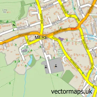
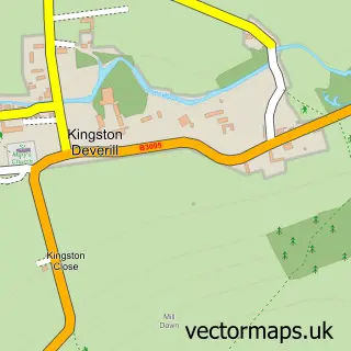
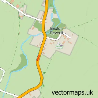
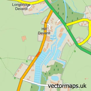
More street maps in Wiltshire

Street map sample of Kingston Deverill, Wiltshire Kingston Deverill Village - 0.5 miles Street map sample of Brixton Deverill, Wiltshire Brixton Deverill Village - 0.8 miles Street map sample of Hill Deverill, Wiltshire Hill Deverill Village - 2.0 miles Street map sample of Longbridge Deverill, Wiltshire Longbridge Deverill Village - 2.2 miles Street map sample of Crockerton, Wiltshire Crockerton Village - 3.1 miles

750 metre map area coverage

Boundary, postcode and point of interest information for the 750m x 750m rectangle centred on this sample map.

Boundaries containing map centre

Constituency: South West Wiltshire Co Const

District: Wiltshire

Icb: NHS Bath and North East Somerset Swindon and Wiltshire ICB

Parish: Kingston Deverill CP

Police Force: wiltshire

Postcode District: BA12

Postcode Sector: BA12 7

Nearby boundaries intersecting sample

Parish: Brixton Deverill CP

Postcode coverage

BA12 BA12 7

POI category counts

Horseback Riding Service: 1

Pet Groomer: 1

Professional Services: 1

Sample points of interest

  • Longhorn Western Riding Horseback Riding Service
  • Pampered Pooch Pet Groomer
  • Olivia Walker Professional Services

Create a larger editable map of Monkton Deverill

This sample shows only a 750 metre area. To create a larger map of Monkton Deverill, use our map builder to choose your own coverage area, add titles and download editable SVG, PDF and PNG files.

Create a custom map of Monkton Deverill

Phone 01751 473136 | Copyright Vectormaps.uk 2026

Samples Customizer Privacy Disclaimer
Monkton Deverill Vector Street Map
Monkton Deverill enlarged street map sample showing a 750 metre preview area