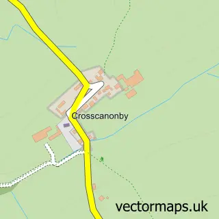
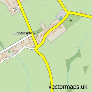
This Crosby street map is a detailed vector street map covering a 750m x 750m area. Select a larger area to create and download your own vector street map of Crosby.
The 750-metre map sample for Crosby covers 218 mapped buildings and approximately 7.3 km of road detail, of which 6 named roads are named. The immediate area includes 1 school, 1 pub and 1 MOT station within 2 miles. The wider area around Crosby features 1 food and drink venue. To create a larger or custom map of Crosby, the map builder lets you define your own coverage area and download editable SVG, PDF and PNG files.
Create a larger editable map of Crosby
Choose any area you need and generate a high-quality vector map instantly. Perfect for print, planning, design, business and personal use.

This Crosby street map in Cumbria is available as downloadable SVG, PDF and PNG map files, or as a printed map for planning, business, display, education, local information and design work. You can also create a larger custom map area using the map selector.
What this Crosby map sample shows
Crosby lies within Crosscanonby Cp parish, part of Ellen & Gilcrux ward in the Cumberland local authority area. The postcode geography for this area includes the CA postcode area, the CA15 postcode district and the CA15 6 postcode sector. Residents fall under the Nhs North East And North Cumbria Integrated Care Board for NHS services.
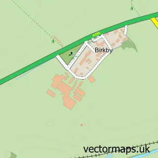
Local features near Crosby
Within 2 milesAmenities and services in and around Crosby.
Administrative and postcode information for Crosby
The local authority covering Crosby is Cumberland, within the county of Cumbria. The settlement lies within Ellen & Gilcrux ward and Crosscanonby Cp civil parish. The CA15 postcode district and CA15 6 postcode sector serve the immediate area. NHS provision in the area is delivered through North Cumbria Integrated Care Nhs Foundation Trust.
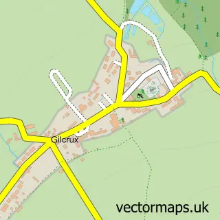
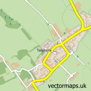
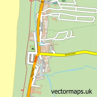
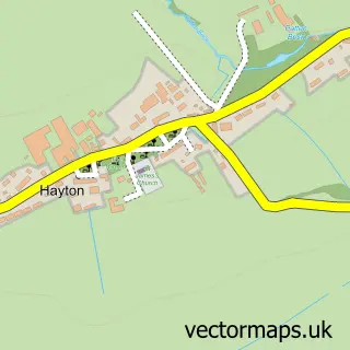
Nearby street map samples around Crosby

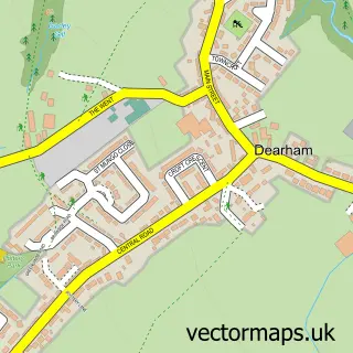
More street maps in Cumbria
750 metre map area coverage
Boundary, postcode and point of interest information for the 750m x 750m rectangle centred on this sample map.
Boundaries containing map centre
Constituency: Penrith and Solway Co Const
District: Cumberland
Icb: NHS North East and North Cumbria ICB
Parish: Crosscanonby CP
Police Force: cumbria
Postcode District: CA15
Postcode Sector: CA15 6
Ward: Maryport North Ward
Nearby boundaries intersecting sample
No additional intersecting boundaries found.
Postcode coverage
POI category counts
Craft Shop: 2
Construction Services: 1
Dog Walkers: 1
Elementary School: 1
Hvac Services: 1
Music And Dvd Store: 1
Package Locker: 1
Pet Services: 1
Professional Services: 1
Pub: 1
Sample points of interest
- Cannondale Construction
- SitUpon Seats
- SitUpon Seats
- Cumbria Dog Walking
- Crosscanonby St John's C Of E Primary School
- Rgw Plumbing and Heating Limited
- Marshall McGurk
- InPost
- Cumbriadogwalking
- Marshall McGurk
- The Stag Inn Crosby
- Crosscanonby Community Centre
Create a larger editable map of Crosby
This sample shows only a 750 metre area. To create a larger map of Crosby, use our map builder to choose your own coverage area, add titles and download editable SVG, PDF and PNG files.
Create a custom map of Crosby