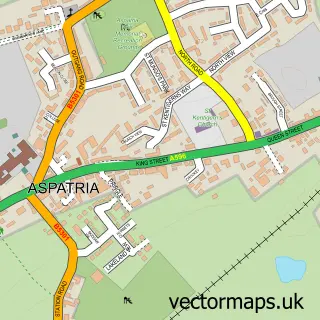
This Gilcrux street map is a detailed vector street map covering a 750m x 750m area. Select a larger area to create and download your own vector street map of Gilcrux.
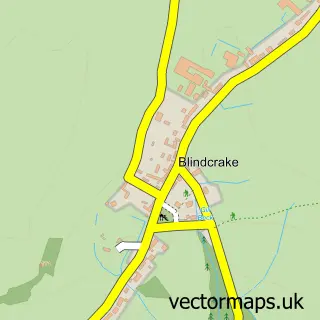
The 750-metre map sample for Gilcrux covers 102 mapped buildings and approximately 11.5 km of road detail. The immediate area includes 2 pubs and 1 MOT station within 2 miles. The wider area around Gilcrux features 2 food and drink venues. To create a larger or custom map of Gilcrux, the map builder lets you define your own coverage area and download editable SVG, PDF and PNG files.
Create a larger editable map of Gilcrux
Choose any area you need and generate a high-quality vector map instantly. Perfect for print, planning, design, business and personal use.

This Gilcrux street map in Cumbria is available as downloadable SVG, PDF and PNG map files, or as a printed map for planning, business, display, education, local information and design work. You can also create a larger custom map area using the map selector.
What this Gilcrux map sample shows
Gilcrux lies within Gilcrux Cp parish, part of Ellen & Gilcrux ward in the Cumberland local authority area. The postcode geography for this area includes the CA postcode area, the CA7 postcode district and the CA7 2 postcode sector. Residents fall under the Nhs North East And North Cumbria Integrated Care Board for NHS services.
Local features near Gilcrux
Within 2 milesAmenities and services in and around Gilcrux.
Administrative and postcode information for Gilcrux
Gilcrux lies within Gilcrux Cp parish, part of Ellen & Gilcrux ward in the Cumberland local authority area. The postcode geography for this area includes the CA postcode area, the CA7 postcode district and the CA7 2 postcode sector. Residents fall under the Nhs North East And North Cumbria Integrated Care Board for NHS services.
Nearby street map samples around Gilcrux

More street maps in Cumbria
750 metre map area coverage
Boundary, postcode and point of interest information for the 750m x 750m rectangle centred on this sample map.
Boundaries containing map centre
Constituency: Penrith and Solway Co Const
District: Cumberland
Icb: NHS North East and North Cumbria ICB
Parish: Gilcrux CP
Police Force: cumbria
Postcode District: CA7
Postcode Sector: CA7 2
Ward: Dearham and Broughton Ward
Nearby boundaries intersecting sample
No additional intersecting boundaries found.
Postcode coverage
POI category counts
Pub: 2
Active Life: 1
British Restaurant: 1
Building Supply Store: 1
Church Cathedral: 1
Community Center: 1
Holiday Rental Home: 1
Horse Trainer: 1
Landscaping: 1
Mobile Home Park: 1
Sample points of interest
- Gilcrux Springs Trout Farm & Fishery
- Barn Bistro Gilcrux
- Outer Space Garden Design
- St Mary's Church
- Gilcrux Village Hall
- Hollybank Cottage
- Lyndsey Adamson Equine
- Outerspace Garden Design Ltd.
- The Beeches Caravan Park
- Masons Arms
- The Wheatsheaf Inn, Low Lorton
- Gilcrux Post Office
Create a larger editable map of Gilcrux
This sample shows only a 750 metre area. To create a larger map of Gilcrux, use our map builder to choose your own coverage area, add titles and download editable SVG, PDF and PNG files.
Create a custom map of Gilcrux