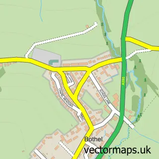
This Blindcrake street map is a detailed vector street map covering a 750m x 750m area. Select a larger area to create and download your own vector street map of Blindcrake.
The 750-metre map sample for Blindcrake covers 84 mapped buildings and approximately 11.4 km of road detail. To create a larger or custom map of Blindcrake, the map builder lets you define your own coverage area and download editable SVG, PDF and PNG files.
Create a larger editable map of Blindcrake
Choose any area you need and generate a high-quality vector map instantly. Perfect for print, planning, design, business and personal use.

This Blindcrake street map in Cumbria is available as downloadable SVG, PDF and PNG map files, or as a printed map for planning, business, display, education, local information and design work. You can also create a larger custom map area using the map selector.
What this Blindcrake map sample shows
Blindcrake lies within Blindcrake Cp parish, part of All Saints ward in the Cumberland local authority area. The postcode geography for this area includes the CA postcode area, the CA13 postcode district and the CA13 0 postcode sector. Residents fall under the Nhs North East And North Cumbria Integrated Care Board for NHS services.
Administrative and postcode information for Blindcrake
Blindcrake lies within Blindcrake Cp parish, part of All Saints ward in the Cumberland local authority area. The postcode geography for this area includes the CA postcode area, the CA13 postcode district and the CA13 0 postcode sector. Residents fall under the Nhs North East And North Cumbria Integrated Care Board for NHS services.
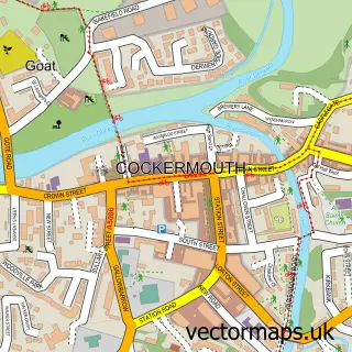
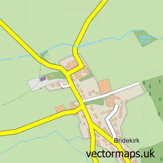
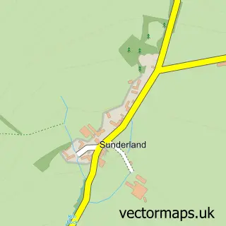
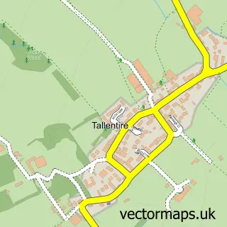
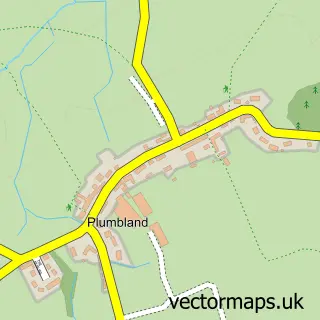
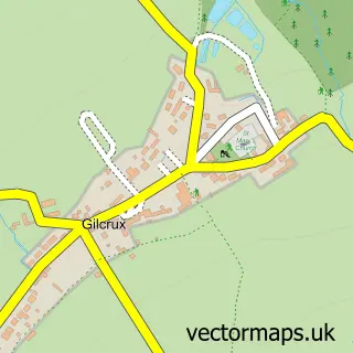
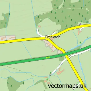
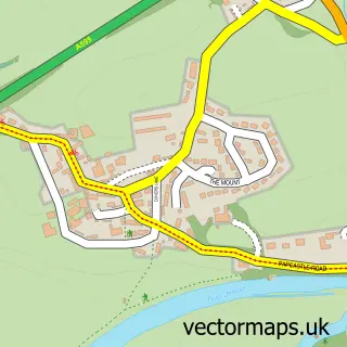
Nearby street map samples around Blindcrake

More street maps in Cumbria
750 metre map area coverage
Boundary, postcode and point of interest information for the 750m x 750m rectangle centred on this sample map.
Boundaries containing map centre
Constituency: Penrith and Solway Co Const
District: Cumberland
Icb: NHS North East and North Cumbria ICB
Parish: Blindcrake CP
Police Force: cumbria
Postcode District: CA13
Postcode Sector: CA13 0
Ward: Bothel and Wharrels Ward
Nearby boundaries intersecting sample
No additional intersecting boundaries found.
Postcode coverage
POI category counts
Furniture Accessory Store: 1
Holiday Rental Home: 1
Professional Services: 1
Tutoring Center: 1
Sample points of interest
- Coppicemill Woodworks
- Croft House Barn
- Blindcrake Parish Council
- Lorna Hutton Makaton Tutor
Create a larger editable map of Blindcrake
This sample shows only a 750 metre area. To create a larger map of Blindcrake, use our map builder to choose your own coverage area, add titles and download editable SVG, PDF and PNG files.
Create a custom map of Blindcrake