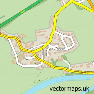
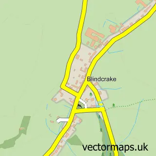
This Cockermouth street map is a detailed vector street map covering a 750m x 750m area. Select a larger area to create and download your own vector street map of Cockermouth.
The 750-metre map sample for Cockermouth covers 336 mapped buildings and approximately 15.6 km of road detail, of which 44 named roads are named. The immediate area includes 1 school, 1 GP surgery within 2 miles, 10 pubs and 1 MOT station, with 5 within 2 miles. The wider area around Cockermouth features 7 tourism points of interest, 29 food and drink venues and 10 hotels. To create a larger or custom map of Cockermouth, the map builder lets you define your own coverage area and download editable SVG, PDF and PNG files.
Create a larger editable map of Cockermouth
Choose any area you need and generate a high-quality vector map instantly. Perfect for print, planning, design, business and personal use.

This Cockermouth street map in Cumbria is available as downloadable SVG, PDF and PNG map files, or as a printed map for planning, business, display, education, local information and design work. You can also create a larger custom map area using the map selector.
What this Cockermouth map sample shows
Cockermouth lies within Cockermouth Cp parish, part of Christchurch ward in the Cumberland local authority area. The postcode geography for this area includes the CA postcode area, the CA13 postcode district and the CA13 9 postcode sector. Residents fall under the Nhs North East And North Cumbria Integrated Care Board for NHS services.
Local features near Cockermouth
Within 2 milesAmenities and services in and around Cockermouth.
Administrative and postcode information for Cockermouth
Cockermouth lies within Cockermouth Cp parish, part of Christchurch ward in the Cumberland local authority area. The postcode geography for this area includes the CA postcode area, the CA13 postcode district and the CA13 9 postcode sector. Residents fall under the Nhs North East And North Cumbria Integrated Care Board for NHS services.
Nearby street map samples around Cockermouth

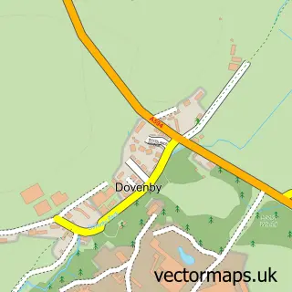
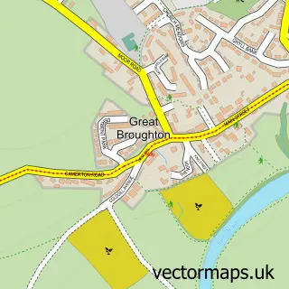
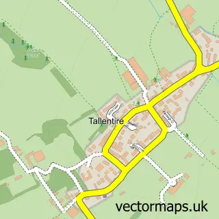
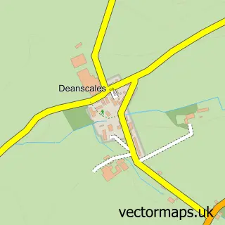
More street maps in Cumbria
750 metre map area coverage
Boundary, postcode and point of interest information for the 750m x 750m rectangle centred on this sample map.
Boundaries containing map centre
Constituency: Penrith and Solway Co Const
District: Cumberland
Icb: NHS North East and North Cumbria ICB
Parish: Cockermouth CP
Police Force: cumbria
Postcode District: CA13
Postcode Sector: CA13 9
Ward: Cockermouth North Ward
Nearby boundaries intersecting sample
Postcode Sector: CA13 0
Ward: Cockermouth South Ward
Postcode coverage
POI category counts
Beauty Salon: 12
Pub: 10
Hotel: 9
Real Estate Agent: 9
Banks: 8
Cafe: 8
Flowers And Gifts Shop: 8
Coffee Shop: 7
Beauty And Spa: 6
Professional Services: 6
Sample points of interest
- Quills of Cumbria Limited - Accountants & Tax Advisers
- Tattersall Bailey
- Osprey Cheerleading Academy - Cockermouth
- Cumbria Creative
- One Owl Please - Design & Illustration
- Greenlands Farm Cockermouth
- Better Hearing Limited
- Kathy Hick
- Christ Church
- Age UK
- Castle Antiques and Curios
- Cockermouth Antiques
Create a larger editable map of Cockermouth
This sample shows only a 750 metre area. To create a larger map of Cockermouth, use our map builder to choose your own coverage area, add titles and download editable SVG, PDF and PNG files.
Create a custom map of Cockermouth