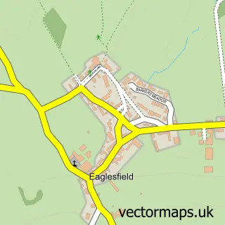
This Great Broughton street map is a detailed vector street map covering a 750m x 750m area. Select a larger area to create and download your own vector street map of Great Broughton.
The 750-metre map sample for Great Broughton covers 228 mapped buildings and approximately 14.8 km of road detail, of which 13 named roads are named. The immediate area includes 1 school, 2 pubs and 2 MOT stations within 2 miles. The wider area around Great Broughton features 2 food and drink venues. To create a larger or custom map of Great Broughton, the map builder lets you define your own coverage area and download editable SVG, PDF and PNG files.
Create a larger editable map of Great Broughton
Choose any area you need and generate a high-quality vector map instantly. Perfect for print, planning, design, business and personal use.

This Great Broughton street map in Cumbria is available as downloadable SVG, PDF and PNG map files, or as a printed map for planning, business, display, education, local information and design work. You can also create a larger custom map area using the map selector.
What this Great Broughton map sample shows
Great Broughton lies within Broughton Cp parish, part of Broughton St Bridgets ward in the Cumberland local authority area. The postcode geography for this area includes the CA postcode area, the CA13 postcode district and the CA13 0 postcode sector. Residents fall under the Nhs North East And North Cumbria Integrated Care Board for NHS services.
Local features near Great Broughton
Within 2 milesAmenities and services in and around Great Broughton.
Administrative and postcode information for Great Broughton
The local authority covering Great Broughton is Cumberland, within the county of Cumbria. The settlement lies within Broughton St Bridgets ward and Broughton Cp civil parish. The CA13 postcode district and CA13 0 postcode sector serve the immediate area. NHS provision in the area is delivered through North Cumbria Integrated Care Nhs Foundation Trust.
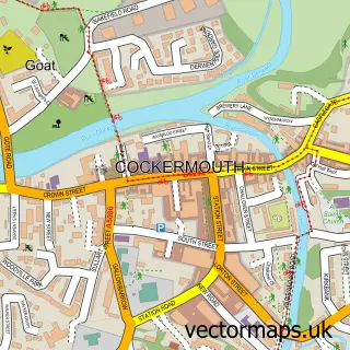
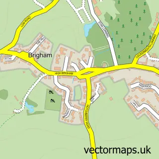
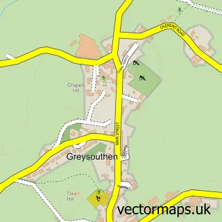
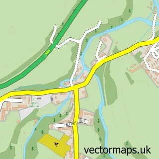
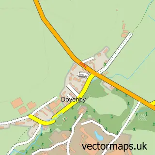
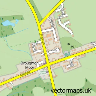
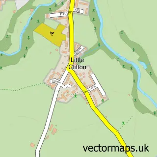
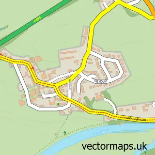
Nearby street map samples around Great Broughton

More street maps in Cumbria
750 metre map area coverage
Boundary, postcode and point of interest information for the 750m x 750m rectangle centred on this sample map.
Boundaries containing map centre
Constituency: Penrith and Solway Co Const
District: Cumberland
Icb: NHS North East and North Cumbria ICB
Parish: Broughton CP
Police Force: cumbria
Postcode District: CA13
Postcode Sector: CA13 0
Ward: Dearham and Broughton Ward
Nearby boundaries intersecting sample
Parish: Brigham CP
Ward: Cockermouth South Ward
Postcode coverage
POI category counts
Holiday Rental Home: 3
Automotive Repair: 2
Community Services Non Profits: 2
Post Office: 2
Pub: 2
Train Station: 2
Atms: 1
Building Supply Store: 1
Cabin: 1
Convenience Store: 1
Sample points of interest
- PayPoint
- L R X Offroad
- LRX Offroad
- Roof Right
- The Manse Cottage
- Broughton Village hall
- Team Evie
- Great Broughton Village Store
- Red Rose Cottage
- Evri ParcelShop
- Allerdrive
- Broughton Primary School
Create a larger editable map of Great Broughton
This sample shows only a 750 metre area. To create a larger map of Great Broughton, use our map builder to choose your own coverage area, add titles and download editable SVG, PDF and PNG files.
Create a custom map of Great Broughton