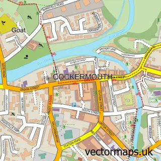
This Papcastle street map is a detailed vector street map covering a 750m x 750m area. Select a larger area to create and download your own vector street map of Papcastle.
The 750-metre map sample for Papcastle covers 145 mapped buildings and approximately 10.5 km of road detail, of which 4 named roads are named. The immediate area includes 1 GP surgery within 2 miles, 2 pubs and 6 MOT stations within 2 miles. The wider area around Papcastle features 1 tourism point of interest and 2 food and drink venues. To create a larger or custom map of Papcastle, the map builder lets you define your own coverage area and download editable SVG, PDF and PNG files.
Create a larger editable map of Papcastle
Choose any area you need and generate a high-quality vector map instantly. Perfect for print, planning, design, business and personal use.

This Papcastle street map in Cumbria is available as downloadable SVG, PDF and PNG map files, or as a printed map for planning, business, display, education, local information and design work. You can also create a larger custom map area using the map selector.
What this Papcastle map sample shows
Papcastle lies within Papcastle Cp parish, part of Broughton St Bridgets ward in the Cumberland local authority area. The postcode geography for this area includes the CA postcode area, the CA13 postcode district and the CA13 0 postcode sector. Residents fall under the Nhs North East And North Cumbria Integrated Care Board for NHS services.
Local features near Papcastle
Within 2 milesAmenities and services in and around Papcastle.
Administrative and postcode information for Papcastle
The local authority covering Papcastle is Cumberland, within the county of Cumbria. The settlement lies within Broughton St Bridgets ward and Papcastle Cp civil parish. The CA13 postcode district and CA13 0 postcode sector serve the immediate area. NHS provision in the area is delivered through North Cumbria Integrated Care Nhs Foundation Trust.
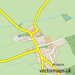
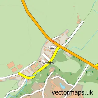
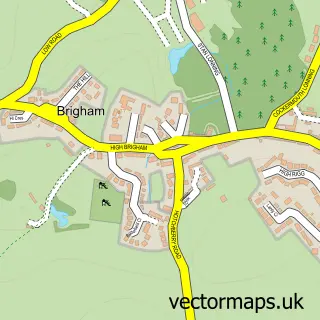
Nearby street map samples around Papcastle

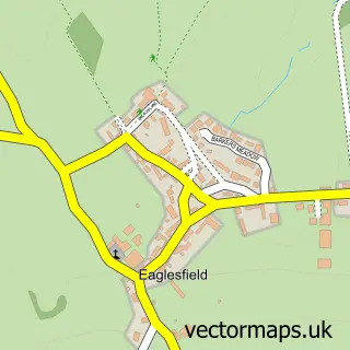
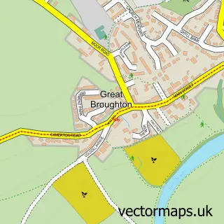
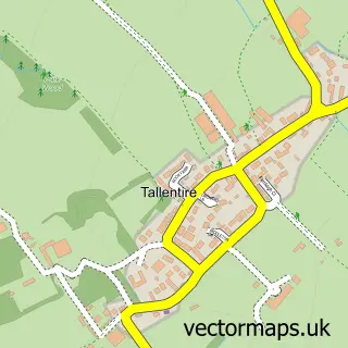
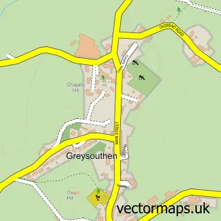
More street maps in Cumbria
750 metre map area coverage
Boundary, postcode and point of interest information for the 750m x 750m rectangle centred on this sample map.
Boundaries containing map centre
Constituency: Penrith and Solway Co Const
District: Cumberland
Icb: NHS North East and North Cumbria ICB
Parish: Papcastle CP
Police Force: cumbria
Postcode District: CA13
Postcode Sector: CA13 0
Ward: Cockermouth North Ward
Nearby boundaries intersecting sample
Parish: Bridekirk CP, Cockermouth CP
Ward: Dearham and Broughton Ward
Postcode coverage
POI category counts
Pub: 2
Antique Store: 1
Architectural Designer: 1
Arts And Crafts: 1
Bar: 1
Homeless Shelter: 1
Hvac Services: 1
Landmark And Historical Building: 1
Massage Therapy: 1
Skate Park: 1
Sample points of interest
- Steve's Vintage Collectables
- WK Design Architects
- carolesfabriccrafts
- The Spotted Pig, Papcastle
- Castle Gardens Sheltered Housing
- Penguin Air Conditioning
- Derventio (Papcastle)
- Kae Thai Yoga Massage and Therapy
- Belle Vue
- The Belle Vue
- Crummock Water
- Re Think my Ink
Create a larger editable map of Papcastle
This sample shows only a 750 metre area. To create a larger map of Papcastle, use our map builder to choose your own coverage area, add titles and download editable SVG, PDF and PNG files.
Create a custom map of Papcastle