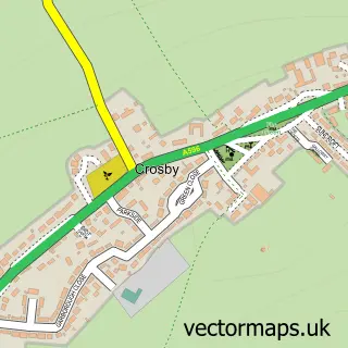
This Maryport street map is a detailed vector street map covering a 750m x 750m area. Select a larger area to create and download your own vector street map of Maryport.
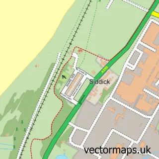
The 750-metre map sample for Maryport covers 232 mapped buildings and approximately 19.5 km of road detail, of which 40 named roads are named. The immediate area includes 1 railway station, 1 GP surgery within 2 miles, 12 pubs and 1 MOT station, with 3 within 2 miles. The wider area around Maryport features 4 tourism points of interest, 20 food and drink venues and 2 hotels. To create a larger or custom map of Maryport, the map builder lets you define your own coverage area and download editable SVG, PDF and PNG files.
Create a larger editable map of Maryport
Choose any area you need and generate a high-quality vector map instantly. Perfect for print, planning, design, business and personal use.

This Maryport street map in Cumbria is available as downloadable SVG, PDF and PNG map files, or as a printed map for planning, business, display, education, local information and design work. You can also create a larger custom map area using the map selector.
What this Maryport map sample shows
Maryport lies within Maryport Cp parish, part of Maryport North ward in the Cumberland local authority area. The postcode geography for this area includes the CA postcode area, the CA15 postcode district and the CA15 7 postcode sector. Residents fall under the Nhs North East And North Cumbria Integrated Care Board for NHS services.
Local features near Maryport
Within 2 milesAmenities and services in and around Maryport.
Administrative and postcode information for Maryport
The local authority covering Maryport is Cumberland, within the county of Cumbria. The settlement lies within Maryport North ward and Maryport Cp civil parish. The CA15 postcode district and CA15 7 postcode sector serve the immediate area. NHS provision in the area is delivered through North Cumbria Integrated Care Nhs Foundation Trust.
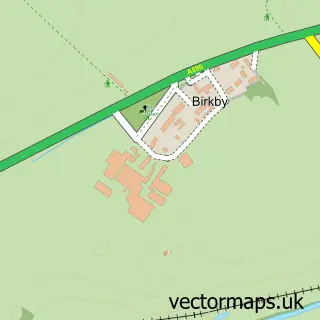
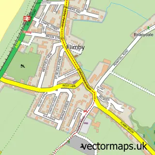
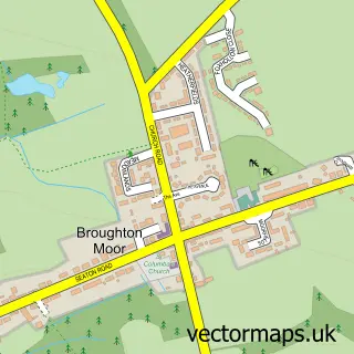
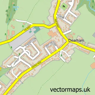
Nearby street map samples around Maryport

More street maps in Cumbria
750 metre map area coverage
Boundary, postcode and point of interest information for the 750m x 750m rectangle centred on this sample map.
Boundaries containing map centre
Constituency: Penrith and Solway Co Const
District: Cumberland
Icb: NHS North East and North Cumbria ICB
Parish: Maryport CP
Police Force: cumbria
Postcode District: CA15
Postcode Sector: CA15 6
Ward: Maryport North Ward
Nearby boundaries intersecting sample
Postcode Sector: CA15 7, CA15 8
Ward: Maryport South Ward
Postcode coverage
POI category counts
Beauty Salon: 12
Pub: 12
Hair Salon: 8
Cafe: 7
Flowers And Gifts Shop: 6
Bakery: 4
Banks: 4
Barber: 4
Convenience Store: 4
Dentist: 4
Sample points of interest
- Mackins Design Studio
- The Lake District Coast Aquarium
- St Mary
- B3 Audio Visual and Appliances
- Lake District Coast Aquarium
- The Lake District Coast Aquarium
- Shipping Brow Gallery
- Tidal Reach
- Mark Vollers
- Books n Bits Maryport
- West Lakes Embroidery
- Church Street Garage
Create a larger editable map of Maryport
This sample shows only a 750 metre area. To create a larger map of Maryport, use our map builder to choose your own coverage area, add titles and download editable SVG, PDF and PNG files.
Create a custom map of Maryport