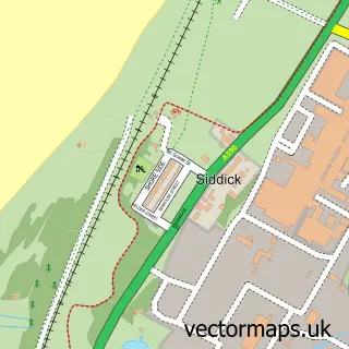
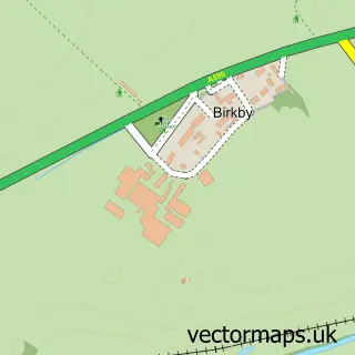
This Flimby street map is a detailed vector street map covering a 750m x 750m area. Select a larger area to create and download your own vector street map of Flimby.
The 750-metre map sample for Flimby covers 280 mapped buildings and approximately 13.6 km of road detail, of which 27 named roads are named. The immediate area includes 1 railway station, 1 GP surgery within 2 miles and 5 MOT stations within 2 miles. The wider area around Flimby features 1 hotel. To create a larger or custom map of Flimby, the map builder lets you define your own coverage area and download editable SVG, PDF and PNG files.
Create a larger editable map of Flimby
Choose any area you need and generate a high-quality vector map instantly. Perfect for print, planning, design, business and personal use.

This Flimby street map in Cumbria is available as downloadable SVG, PDF and PNG map files, or as a printed map for planning, business, display, education, local information and design work. You can also create a larger custom map area using the map selector.
What this Flimby map sample shows
Flimby lies within Maryport Cp parish, part of Flimby ward in the Cumberland local authority area. The postcode geography for this area includes the CA postcode area, the CA15 postcode district and the CA15 8 postcode sector. Residents fall under the Nhs North East And North Cumbria Integrated Care Board for NHS services.
Local features near Flimby
Within 2 milesAmenities and services in and around Flimby.
Administrative and postcode information for Flimby
Flimby lies within Maryport Cp parish, part of Flimby ward in the Cumberland local authority area. The postcode geography for this area includes the CA postcode area, the CA15 postcode district and the CA15 8 postcode sector. Residents fall under the Nhs North East And North Cumbria Integrated Care Board for NHS services.
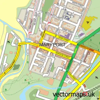
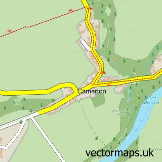
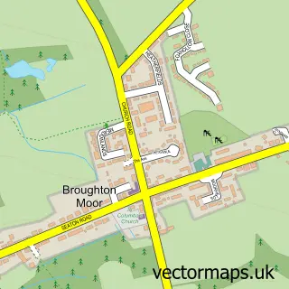
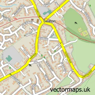
Nearby street map samples around Flimby

More street maps in Cumbria
750 metre map area coverage
Boundary, postcode and point of interest information for the 750m x 750m rectangle centred on this sample map.
Boundaries containing map centre
Constituency: Whitehaven and Workington Co Const
District: Cumberland
Icb: NHS North East and North Cumbria ICB
Parish: Maryport CP
Police Force: cumbria
Postcode District: CA15
Postcode Sector: CA15 8
Ward: Maryport South Ward
Nearby boundaries intersecting sample
No additional intersecting boundaries found.
Postcode coverage
POI category counts
Train Station: 3
Liquor Store: 2
Agricultural Seed Store: 1
Assisted Living Facility: 1
Bakery: 1
Beach: 1
Beauty And Spa: 1
Building Supply Store: 1
Church Cathedral: 1
Convenience Store: 1
Sample points of interest
- The Grass And Seed Company
- Allenby House
- Flimby pie shop
- Flimby Beach
- Top Eyeglasses
- Northern Damp Proofing Solutions
- St Nicholas's Church
- Costcutter Featuring Bargain Booze
- Cms Courier Managment Services
- Farm Direct
- The Village Store
- Rdt Cleaning Services
Create a larger editable map of Flimby
This sample shows only a 750 metre area. To create a larger map of Flimby, use our map builder to choose your own coverage area, add titles and download editable SVG, PDF and PNG files.
Create a custom map of Flimby